
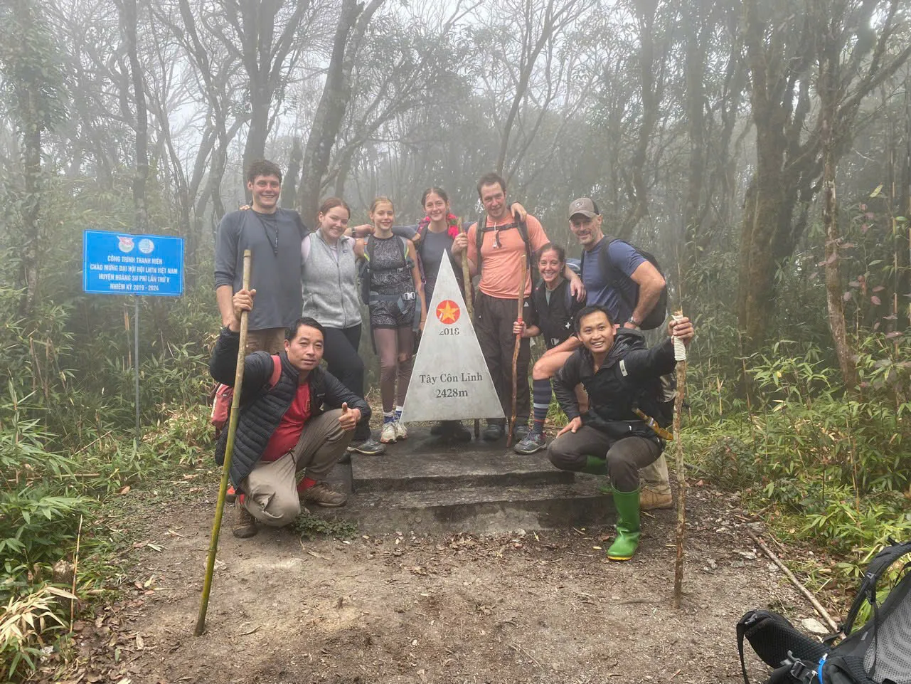
Tay Con Linh from Tung San,
2-day trek to the 2,428 m marker
2-day mountain trek from Nam Hong through Tung San toward the Tay Con Linh summit marker at 2,428 m when conditions allow — forest shelter overnight and return to Tung San.
Why this route.
This Ridge & Cloud programme follows the Nam Hong → Tung San corridor: local road access to Tung San, two long walking days through highland paths, forest and steep mountain slopes, an aim to reach the 2,428 m Tay Con Linh marker when the guide judges it safe, one night at a simple forest shelter, then descent back toward Tung San for pickup. The summit marker is not guaranteed — heavy rain, fog or unsafe trail conditions may mean the group turns toward the shelter instead. For how this corridor compares with Cao Bo → Thuong Son or with Chieu Lau Thi (2,402 m), read the Tay Con Linh trekking guide.
- Nam Hong → Tung San access — local motorbike or car depending on road conditions
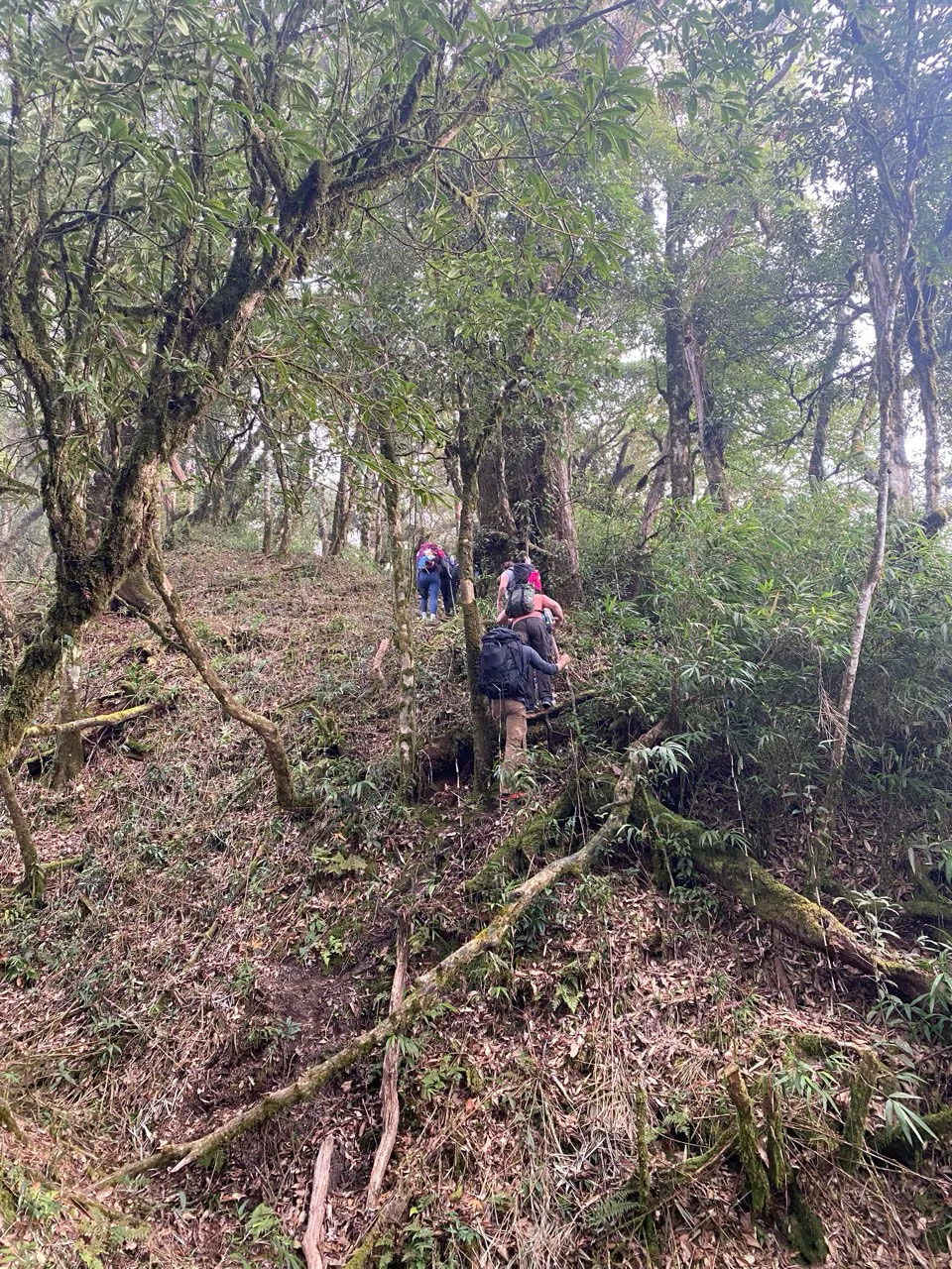
- Highland paths through tea, cultivation, forest, ridge and steep mountain sections
- Aim for the 2,428 m Tay Con Linh marker when conditions allow — guide safety decision
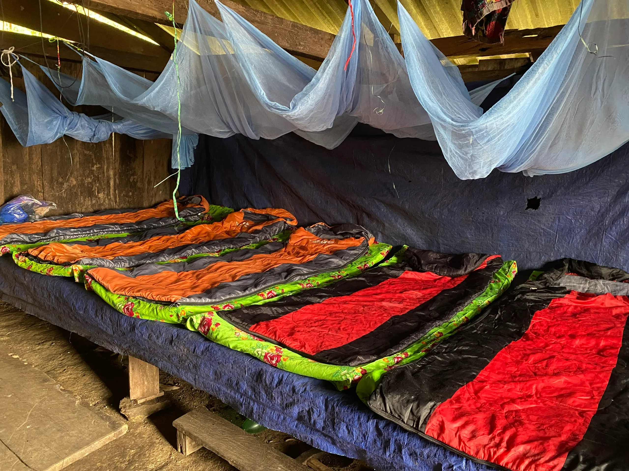
- Overnight at a simple forest shelter — sleeping bags in use, not a lodge
- Return trekking to Tung San — typical transfer back toward Nam Hong, wider itinerary may vary
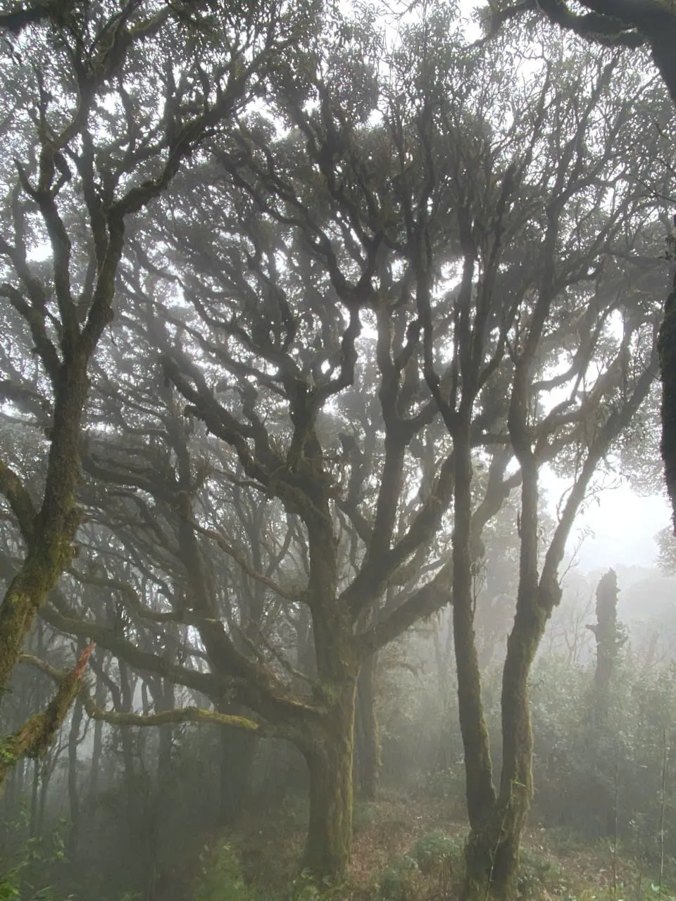
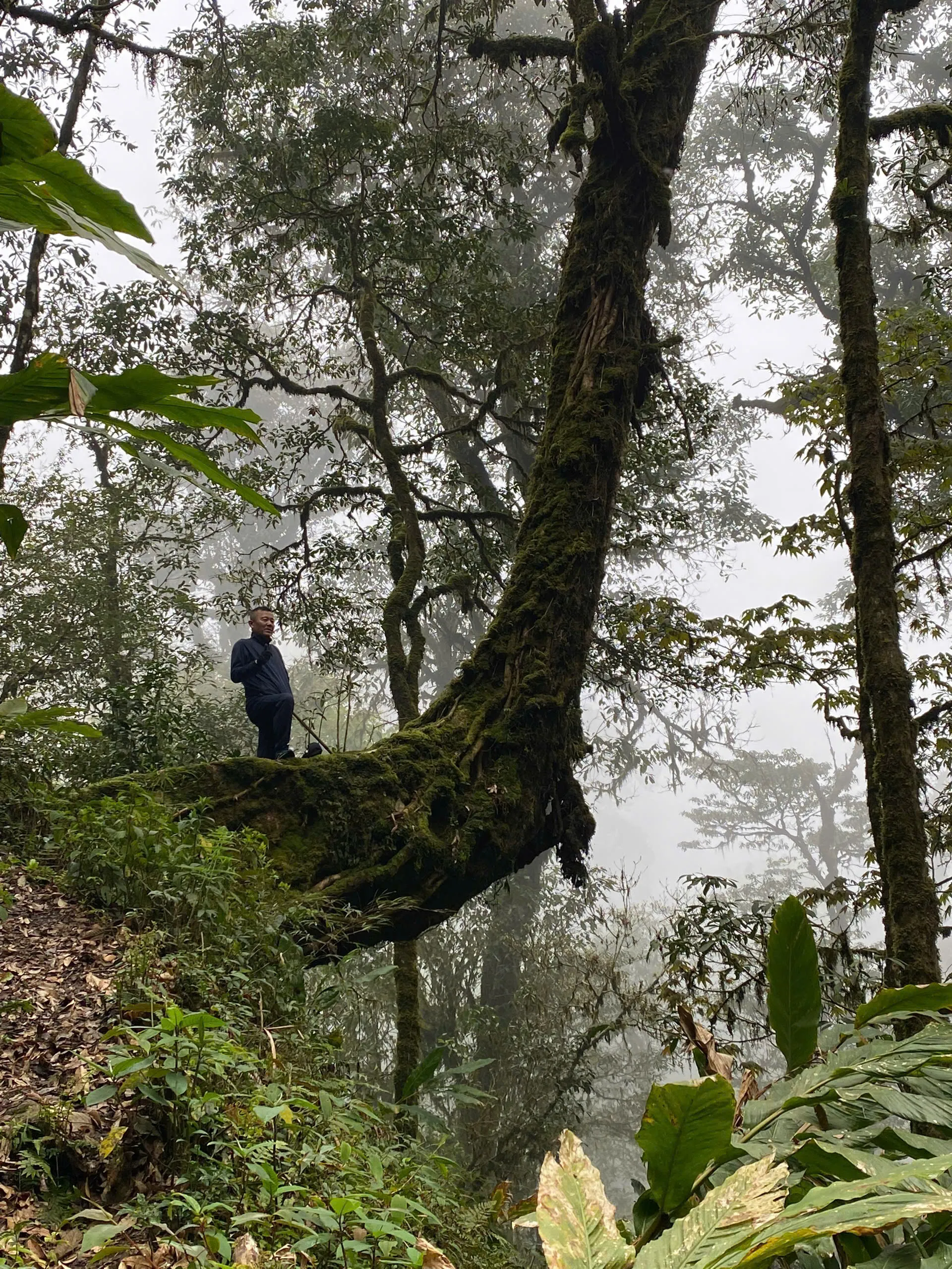
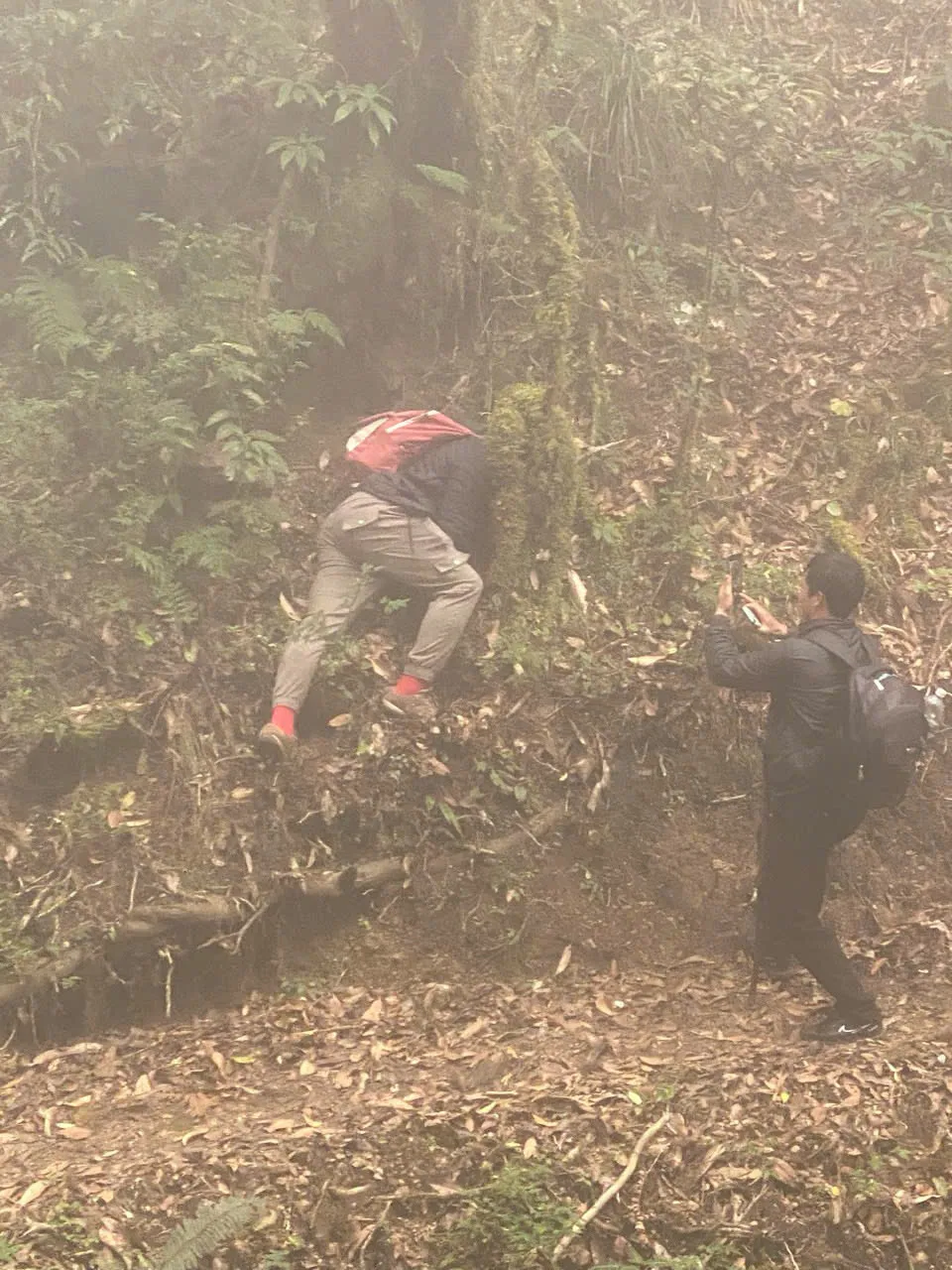
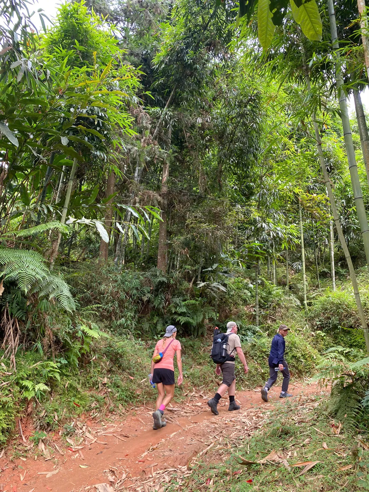
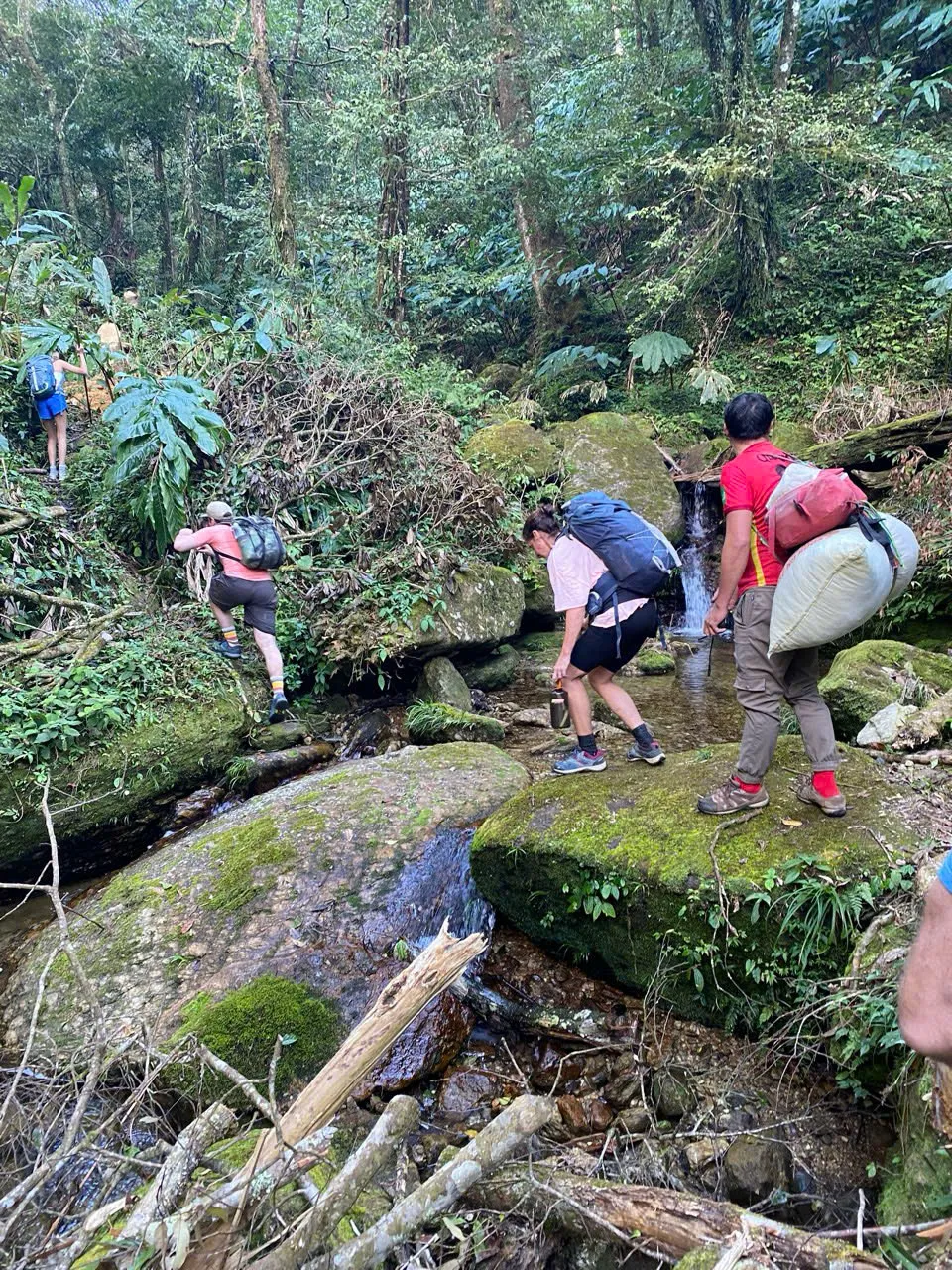
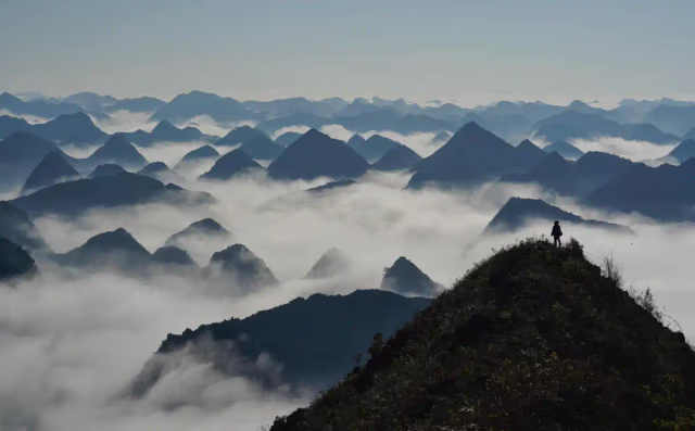
Frames from the route.
Day by day.
Times and stops are indicative. Pace and arrival are set by the slowest walker, the weather, and the ridge.
- Day 1
Nam Hong → Tung San → marker attempt → forest shelter
approx. 15–20 km · 6–8 h walking (operational range)Meals · Breakfast · Picnic lunch · DinnerStay · Forest shelter (shared, sleeping bags in use)"Early start from the Nam Hong area after breakfast and equipment check, then road transfer toward Tung San. The day is a sustained mountain ascent through mixed highland terrain toward the summit area. Lunch is a picnic on the trail. The group aims to reach the 2,428 m marker when conditions allow for rest and photos — if rain, fog or unsafe footing make the marker inappropriate, the guide turns the group toward the forest shelter. Aim to reach shelter before light fades; dinner and overnight at the shelter."
- 05:30 – 06:00Nam Hong — wake, breakfast, pack check
Equipment check and daypack load — main luggage may remain at homestay or move by suitable transport.
- 06:00 – 07:00Transfer toward Tung San
Local motorbike or car depending on access and road conditions.
- 07:00 – 11:00Highland trekking
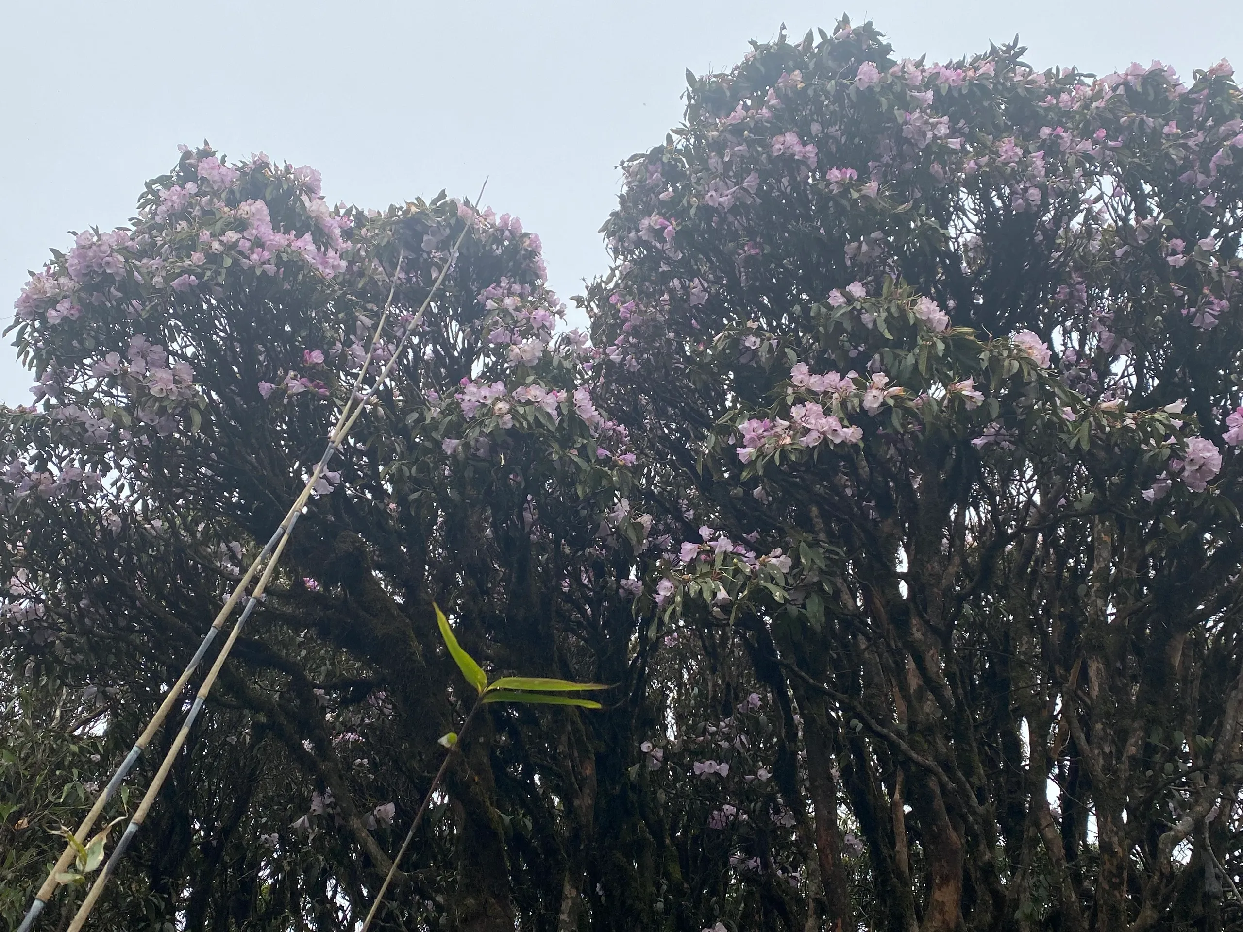
Dirt paths, tea and cultivation, forest, ridge and steep mountain sections.
- 11:00 – 12:00Continue ascent
Short rests on the climb toward the summit area.
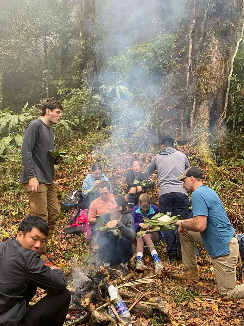
- 12:00 – 13:00Picnic lunch
Trail lunch — carry water and rain layer.
- 13:00 – 15:30Summit marker when safe
Continue ascent toward the 2,428 m marker when conditions allow — not guaranteed.
- 15:30 – 18:30High route to forest shelter
Traverse toward shelter before light deteriorates — no implied forest trekking after dark.
- 18:30 – 20:00Dinner and overnight
Simple shelter night — leave no rubbish.
- Day 2
Forest descent → highland valleys → Tung San
approx. 18–22 km · 5–7 h walking (operational range)Meals · Breakfast · Lunch · —"Breakfast, pack and group-condition check, then forest descent and traverse toward inhabited highland areas — cultivation, tea, terraces, houses and small valleys. Lunch at a local house or picnic, then final trekking to Tung San and pickup at an accessible point. Typical return is toward Nam Hong; wider itinerary may change the final transfer."
- 06:00 – 07:00Breakfast and pack-down
Leave no rubbish; guide checks group condition.
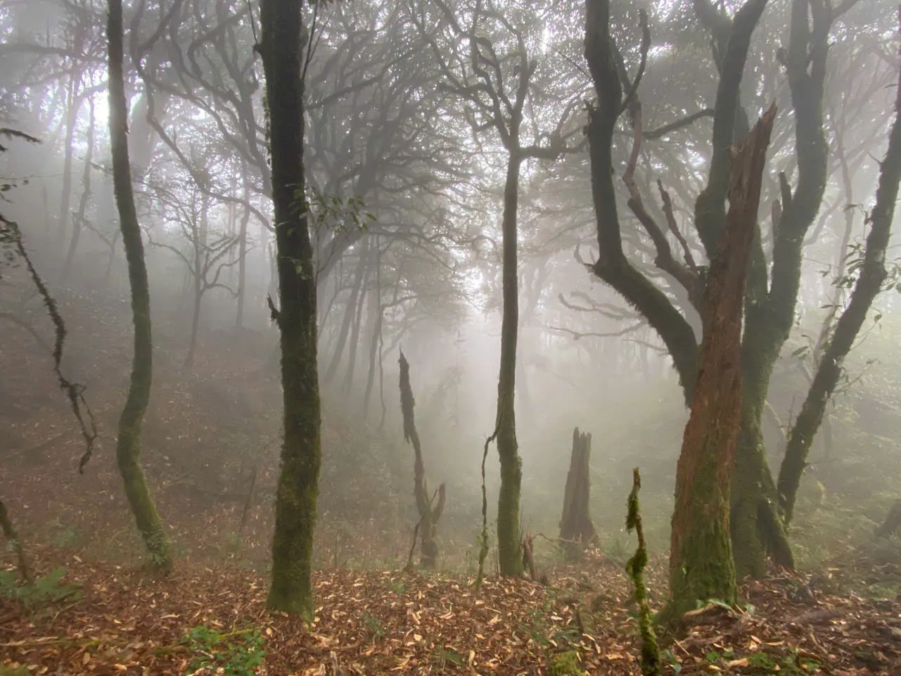
- 07:00 – 10:00Forest descent / traverse
Uneven forest footing — trekking poles help.
- 10:00 – 12:00Toward inhabited highland areas
Tea, terraces and hamlets as the route drops.
- 12:00 – 13:00Local-house lunch or picnic
Meal rhythm depends on pace and weather.
- 13:00 – 16:00Final trekking to Tung San
Pickup at an accessible point — transfer details confirmed at enquiry.
What's included.
- Local guide and support team on trail (typically four local support members plus lead guide — exact roles confirmed at enquiry)
- Forest shelter overnight
- Meals from Day 1 breakfast through Day 2 lunch as described on the schedule
- Road transfers on the access legs as required by the operating itinerary
- Local access and administrative arrangements handled by the local team
- International and domestic travel to Ha Giang
- Travel insurance beyond what your enquiry confirms
- Personal trekking gear not listed under what to bring
- Tips for guides and support team
What to bring.
- 01Sturdy trekking footwear with good ankle support (strongly recommended)
- 02Daypack with water, rain layer and snacks for long walking days
- 03Trekking poles
- 04Headlamp
- 05Personal medication
- 06Dry overnight layer and spare socks
- 07Basic personal items — pack light; main luggage may stay at homestay or move separately
Before you walk.
- Distances and hours on this page are operational ranges from field departures — not GPX measurements.
- The 2,428 m marker is reached only when conditions allow. The guide makes the operational safety decision.
- Forest shelter is simple overnight accommodation — sleeping bags are used. Do not assume electricity, charging, signal, toilet standard or whether sleeping bags are provided vs guest-brought until your enquiry confirms.
- Local access and administrative arrangements are handled by the local team. Guests are asked to provide their full name, nationality, passport number and a passport image before departure.
- Best for travellers comfortable with long mountain walking days, steep forest terrain, weather variability and a simple shelter — not ideal if you need guaranteed summit access, lodge comfort or short walking days.
Common questions.
- Q · 01
Is the 2,428 m summit marker guaranteed?
No. If heavy rain, fog or unsafe trail conditions occur, the guide may turn the group toward the forest shelter instead of the marker.
- Q · 02
How is this different from Tay Con Linh cloud forest from Cao Bo?
Cloud forest is a southern point-to-point to Thuong Son with a lower viewpoint — not the marker. From Tung San is the Nam Hong corridor with marker attempt when safe and return to Tung San.
- Q · 03
How is Tay Con Linh different from Chieu Lau Thi?
Tay Con Linh is a separate 2,428 m massif. Chieu Lau Thi (2,402 m, also locally called Kieu Lieu Ti) is a different mountain with its own bookable programmes.
- Q · 04
What support is on the trail?
A local guide and support team — typically four local support members on operational departures, plus your lead guide. Travellers carry a daypack; main luggage may remain at homestay or move by suitable transport.
- Q · 05
What footwear do I need?
Sturdy trekking footwear with good ankle support is strongly recommended for steep forest and mountain sections.
- Q · 06
What happened to the three-day Tay Con Linh summit tour?
The former three-day packaged programme is retired and not operated. The route page on /tours/tay-con-linh-summit remains for context — see the Tay Con Linh guide for current 2D1N choice.
What happens after you enquire.
This page holds the schedule, price and inclusions for this route. Confirmation and payment steps are handled directly with our team — not through this website.
- Step 1
Enquire
Tell us your route, dates and group size — by WhatsApp from any programme or tour page.
- Step 2
Confirm
We reply with availability, a clear price and the logistics needed to confirm your departure.
- Step 3
Prepare
You receive what to pack and where to meet before you travel.
Licensed local operator
Hanoi Travel Mate Co., Ltd. (tax code 0110906485) runs every departure listed on this site — not a reseller or marketplace listing. Licensed Local Operator
Local trekking expertise
Ha Giang has no marked national-park trail network. Paths follow irrigation channels, farm decisions, and weather calls made by people who live on the route. Local trail guides from each community negotiate homestay space, read fog on the ridge, and know when a bamboo bridge is safe after rain — alongside English-speaking trekking leads who handle logistics, pace and guest communication.
Transparent enquiry process
No payment on this site. Enquire by WhatsApp; we usually reply within 24 hours with availability, a clear price and what to pack. Booking Terms
No payment on this site
Every departure is confirmed after a direct conversation. Nothing is collected or stored here. Payment Policy
Safety and responsible travel
Personal accident and trekking insurance is included on published hub programmes — see each programme's includes list. Extended journeys and custom expeditions do not include trekking insurance. Community and forest permit fees are included in programme prices where listed and paid to the communes on your behalf. Extended journey and custom permit requirements vary by route. Safety Policy
Community payments stay local
Homestay payments go directly to host families — we do not take a margin on meals or overnight stays. Responsible Travel
- Enquire by WhatsApp — we usually reply within 24 hours with availability, price and what to pack
- No payment on this site — confirmation steps are shared directly after your enquiry
- Published extended journeys: 30% deposit and free cancellation up to 14 days before departure — confirmed for your departure before you travel
- If we cancel your departure for safety or weather before you travel, we offer a full refund or reschedule
- Weather or safety may require a postponed or adjusted route — we confirm options with you, not through the website checkout
Independent profiles for the operating company — not on-site guest reviews.
Which product line fits your dates?
Days alone do not define the trip. A three-day Ban Luoc hub programme and a four-day Hoang Su Phi extended journey cover overlapping geography but differ in pace, product line and booking page. Programme vs Extended Journey.
Hub programme
One to three focused walking days in Hoang Su Phi, Village Treks or Ridge & Cloud — a defined route with schedule and price on the programme page.
Browse programmesExtended journey
Four to seven days across wider geography on a published multi-day route — itinerary and pricing on each tour page under Extended Journeys.
Extended journeysCustom expedition
Private dates, mixed regions or a route that does not match a published programme or tour — designed after enquiry on Custom Expeditions.
Custom expeditions
Local trail guides from the communities on the route, with English-speaking trekking leads on every departure. Guide roles & field notes
Homestay payments go directly to host families — we do not take a margin on meals or overnight stays. Community and forest permit fees are included in programme prices where listed and paid to the communes on your behalf. Extended journey and custom permit requirements vary by route.
Personal accident and trekking insurance is included on published hub programmes — see each programme's includes list. Extended journeys and custom expeditions do not include trekking insurance. Guide-led programmes run small groups — typically 2–8 trekkers; ridge routes cap at six.
No payment on this site. Enquire by WhatsApp; we usually reply within 24 hours with availability, a clear price and what to pack. Licensed Local Operator · Safety Policy
Landscape and season articles sit alongside this trek page — open them for place context, then enquire here for dates and price.
- Tay Con Linh: A Complete Guide for Trekkers
Landscape, seasons and routes around Tay Con Linh.
- Nam Hong: A Trekker's Guide to Red Dao Villages
Landscape, seasons and routes around Nam Hong.
- Chieu Lau Thi: A Complete Guide for Trekkers
Neighbouring walking country linked to Tay Con Linh.
- Cloud forest route — vs sunrise ridge and cloud-sea trek
Day-by-day walking detail and pacing for Tay Con Linh.
- Ban Phung Rice Terraces: A Guide for Trekkers and Photographers
Neighbouring walking country linked to Nam Hong.
- Ban Luoc: A Trekker's Guide to Valleys, Rice Terraces and Red Dao Homestays
Neighbouring walking country linked to Nam Hong.
- Nam Hong to Ho Thau — packing, photography and route choice
Day-by-day walking detail and pacing for Nam Hong.
- Ridge & Cloud — compare summit programmes
Compare difficulty, seasons and walking style before you enquire.
Stories from this landscape.
Culture, seasons and walking notes from the communities along this route.
More ridge expeditions.
Chieu Lau Thi the sunrise ridge.
1-day ridge trek — Chieu Lau Thi summit at dawn, same-day return. From US$145 per person. Schedule and enquiry on this page.
 RCE · 022 days · 1 night
Tay Con Linh cloud forest from Cao Bo.
2-day point-to-point trek — Cao Bo through Shan tea and cloud forest to Thuong Son. Southern corridor with a lower ridge viewpoint — not the 2,428 m summit marker.
Ready to walk Tay Con Linh from Tung San?
Tell us your dates and group size. We usually reply within 24 hours with availability, a clear price and what to pack.
Enquire about a departure- Step 1
Enquire
Tell us your route, dates and group size — by WhatsApp from any programme or tour page.
- Step 2
Confirm
We reply with availability, a clear price and the logistics needed to confirm your departure.
- Step 3
Prepare
You receive what to pack and where to meet before you travel.