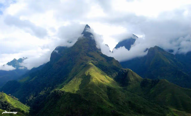
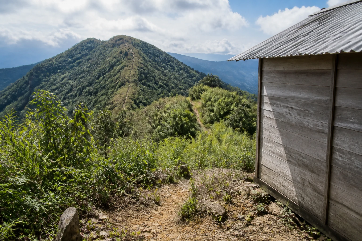
Cloud sea breaking against the Tay Con Linh ridge at first light
Back to home
Group A · Ridge & Cloud Expeditions

Tay Con Linh,
above the cloud line.

Pre-dawn ridge walks and multi-day crossings on Tay Con Linh — for trekkers comfortable with cold, fog and long climbs.

1 – 3 daysSmall groups · 2 – 6Local Dao · Nung guides
— Introduction

Tay Con Linh, on foot.

Tay Con Linh is the highest massif in north-eastern Vietnam — cloud forest, exposed ridges and old Shan tea above the Red River gorge.

These programmes ask more of your legs and your packing list than terrace walking. They also put you on the ridge at first light, when fog fills the valleys below Chieu Lau Thi at 2,402 m.

Choose a single pre-dawn push, two days in the cloud forest from Cao Bo, or a three-day crossing to the tea valley. All run October through April only — we do not operate here in storm season.

— Who it suits

Experienced trekkers comfortable with cold, pre-dawn starts and long climbs — not a first mountain walk. October–April only; we do not run these routes in storm season.

— Why trek here

Reasons to walk Tay Con Linh.

  • 01

    Summit moments that justify the early start

    Chieu Lau Thi at 2,402 m is the highest accessible ridge on the massif. When conditions align, the cloud sea breaks against the eastern face at sunrise — the reason we leave town at 02:30 on the one-day route, or sleep at the shelter on longer programmes.

  • 02

    Cloud forest, not brochure forest

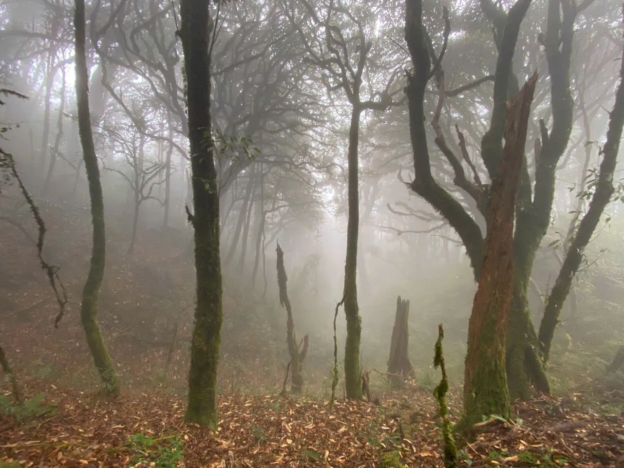
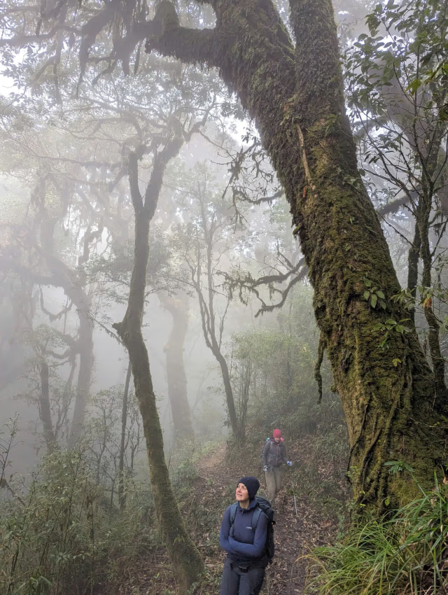
    Above 1,800 m the path runs through moss-hung bamboo, rhododendron and shaman trees — some Shan tea specimens over 300 years old. This is working forest with centuries of foot traffic, not a nature park with boardwalks.

  • 03

    Weather as part of the route

    Guides from Dao and Nung communities read fog, wind and storm signs on the ridge. We cancel or postpone when lightning risk is real. That honesty is part of walking safely at altitude.

  • 04

    Multi-day crossings with purpose

    The three-day Kieu Lieu Ti traverse links Hoang Su Phi to Cao Bo in one connected line — two nights above the cloud line, one summit dawn, a full east–west crossing of the upper range.

— Landscape

Terrain and elevation.

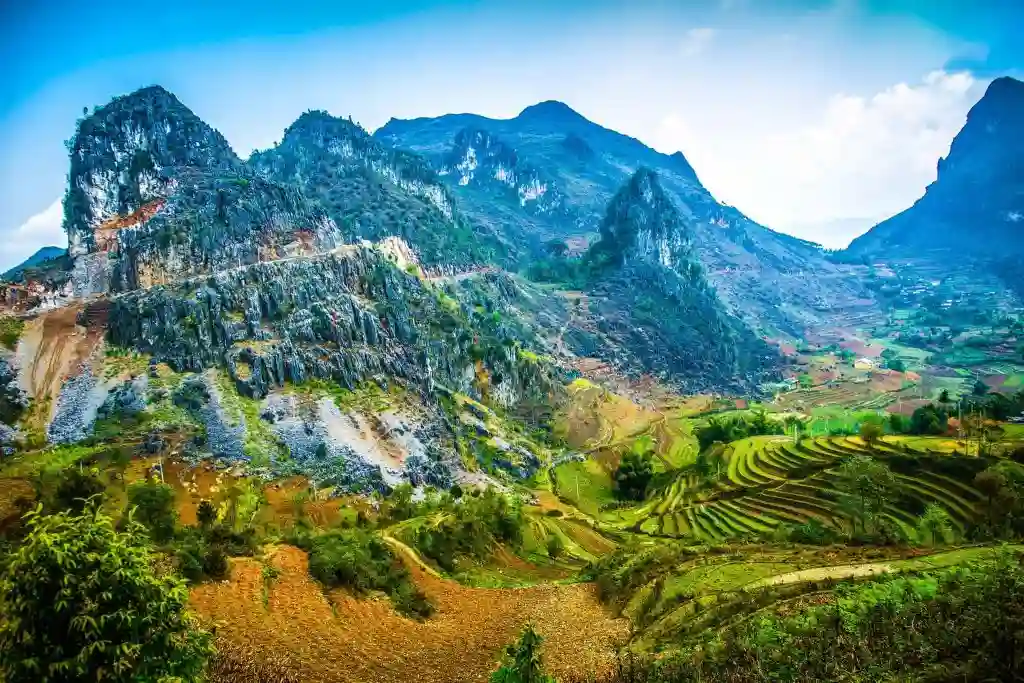
The Tay Con Linh massif rises between the Chay and Lo river systems. Its upper slopes hold cloud forest and alpine scrub; its southern flanks drop through Red Dao and Hmong farmland into the Cao Bo tea valley.

Chieu Lau Thi (also called Kieu Lieu Ti on some maps) marks the highest point most trekkers reach — 2,402 m on the eastern shoulder. The true summit at 2,427 m sits above technical ground and is not part of our routes.

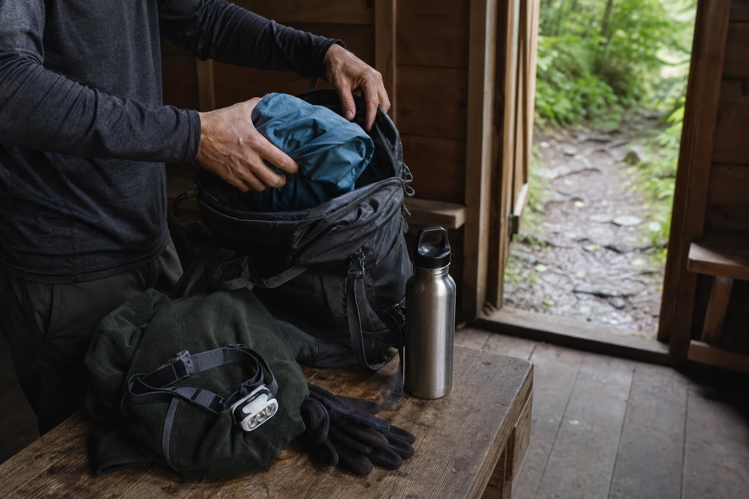
Temperatures fall roughly 6 °C per 1,000 m of ascent. A warm valley morning can become a 2 – 5 °C shelter night. Rain gear and warm layers are not optional, even in shoulder season.

— Culture

People on the path.

The upper forest is guided by Dao and Nung communities who have used these paths for generations — hunting, herb gathering, tea harvesting and festival travel between valleys.

On the southern descent routes you walk through Red Dao villages where Shan tea is dried on bamboo racks and corn is stacked beside stilt houses. These are working farms; we pause for hosted lunches, not staged performances.

Ridge walking here is less about ethnic diversity per kilometre than terrace country — the culture you meet is tied to altitude, forest use and the rhythm of cold-season migration between high fields and valley homes.

— Trekking styles

How people walk Tay Con Linh.

  • Style 01

    Single-day summit push

    Chieu Lau Thi sunrise ridge — depart Hoang Su Phi around 02:30, climb by headlamp, breakfast on the ridge, descend through cardamom forest by afternoon. Demanding, but no overnight gear beyond warm layers.

  • Style 02

    Two-day cloud forest

    Tay Con Linh cloud forest climbs from Cao Bo to a ridge shelter at 2,100 m, walks for sunrise below the summit, then descends through Red Dao villages to Thuong Son. More time in the forest, less rush on the ascent.

  • Style 03

    Three-day ridge traverse

    Kieu Lieu Ti long traverse crosses the upper spine from west to east — two shelter nights, one full day on the exposed ridge line, finish in the Cao Bo tea valley. Our highest and quietest expedition.

— Best seasons

When to walk Tay Con Linh.

Conditions shift with elevation as much as month. Use this as a starting point — your guide confirms the final call.

MonthsSeasonConditionsOur recommendation
Oct – NovClear ridge seasonDry, cold mornings, best cloud-sea probability.Prime window for all three programmes. Book early.
Dec – FebCold and sharpFreezing nights at shelter. Excellent visibility, empty trails.Bring full winter trekking kit. One-day route still runs in stable weather.
Mar – AprShoulder warmthWarmer days, rhododendron on the upper slopes. Occasional fog.Good for two- and three-day routes. Summit views less guaranteed than autumn.
May – SepStorm seasonDaily rain, lightning risk, slippery paths above 1,800 m.We do not run Ridge & Cloud programmes June through September.
— Route comparison

Choose your programme.

Every route below is a commercial booking page — pricing, itinerary and enquiry on each programme.

RouteDurationDifficultyDistanceBest for
Chieu Lau Thi sunrise ridge1 dayDemanding12 kmSummit dawn in a single push
Tay Con Linh cloud forest2 daysDemanding22 kmForest immersion, shelter night, village descent
Kieu Lieu Ti long traverse3 daysDemanding42 kmFull massif crossing, experienced trekkers
— Difficulty guide

What Moderate and Demanding mean here.

  • Demanding

    All Ridge & Cloud programmes are demanding — significant elevation, cold exposure possible, 5 – 9 hours walking on trekking days.

    Examples · Every route in this collection

— What to do next

Compare the three ridge programmes, read the dawn-walking guides linked below, then enquire with your dates and fitness level — we will recommend the right access route.

Enquire about a departure
— FAQ

Planning your Tay Con Linh trek.

How is Ridge & Cloud different from Hoang Su Phi trekking?
Hoang Su Phi programmes focus on terraces and village homestays at 900 – 1,700 m. Ridge & Cloud walks the upper Tay Con Linh massif — cloud forest, ridge shelters and summit dawn above 2,000 m.
Which route is best for my first ridge walk?
Chieu Lau Thi sunrise ridge if you are fit and can handle a 02:30 start. Tay Con Linh cloud forest if you prefer a shelter night and a gentler ascent spread over two days.
What happens if the weather turns?
Your guide monitors conditions throughout. We turn back or postpone if lightning, high wind or visibility make the ridge unsafe. Full refund or reschedule if we cancel before departure.
Do I need trekking poles?
Strongly recommended on all routes — steep descents through cardamom forest are hard on knees, especially after rain.
Can I link a ridge expedition with a terrace trek?
Yes. Many guests walk Nam Hong or Ban Luoc first, rest a day in town, then climb Chieu Lau Thi. We sequence dates and transfers when you enquire.
Is the one-day Chieu Lau Thi the same as the Hoang Su Phi two-day route?
Same 2,402 m summit. The one-day route climbs from Ta Su Choong and returns the same day. The two-day Hoang Su Phi programme sleeps at the shelter — no 02:30 departure from town.
— Begin a route

Walk the upper ridges with guides
who read the weather.

Enquire about a departure