RCE · 02 · 2 days · 1 night · Tay Con Linh massif · Vi Xuyen side
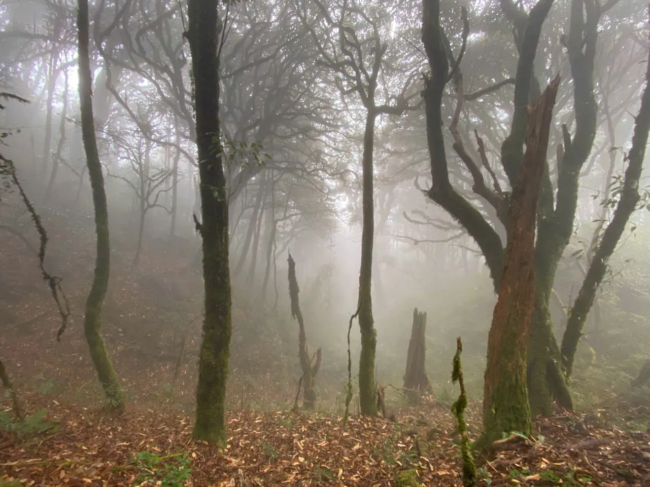
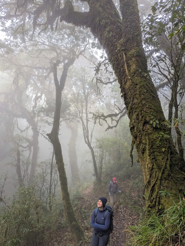
Tay Con Linh, cloud forest from Cao Bo.
2-day point-to-point trek — Cao Bo through Shan tea and cloud forest to Thuong Son. Southern corridor with a lower ridge viewpoint — not the 2,428 m summit marker.
— Quick decision facts
At a glance
Duration
2 days · 1 night
Format
Private trek
Difficulty
Demanding
Start
Cao Bo commune
Finish
Thuong Son
Your party
2 – 6 trekkers in your private party
Best season
Oct – Apr
— Journey in one glance
What this trek is.
This is the Cao Bo → Thuong Son cloud-forest crossing on the Tay Con Linh massif: a southern, Vi Xuyen-side approach through working Shan tea, moss-hung forest and a wooden ridge shelter, then a pre-dawn walk to a lower viewpoint on the massif before descending through Red Dao farmland to Thuong Son. It does not reach the 2,428 m Tay Con Linh summit marker — that is the separate Nam Hong → Tung San corridor. For route choice, weather logic and how Tay Con Linh differs from Chieu Lau Thi (2,402 m), read the Tay Con Linh trekking guide.
Operational range on this southern crossing. Not the Tung San summit line.
Operational range — not a surveyed GPX figure
Vehicle transfer
Access transfers are not walking km
From this programme’s operating notes
Walking time
Two walking days
Operational range — not a surveyed GPX figure
Difficulty
Demanding
From this programme’s operating notes
Terrain
Cloud forest, lower viewpoint — not the 2,428 m marker product
From this programme’s operating notes
Route type
2 days · 1 night
From this programme’s operating notes
Accommodation
Ridge shelter + village descent
From this programme’s operating notes
Best season
October–April
From this programme’s operating notes
Private / shared
Small group; private on enquiry
From this programme’s operating notes
Hanoi transfer
Not included unless confirmed for your departure
From this programme’s operating notes
GPX status
No public operator GPX
Map status
No surveyed trail map published
— Field
Frames from the route.
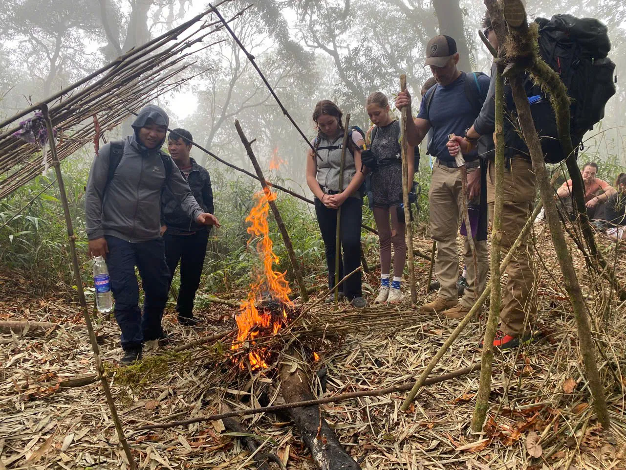
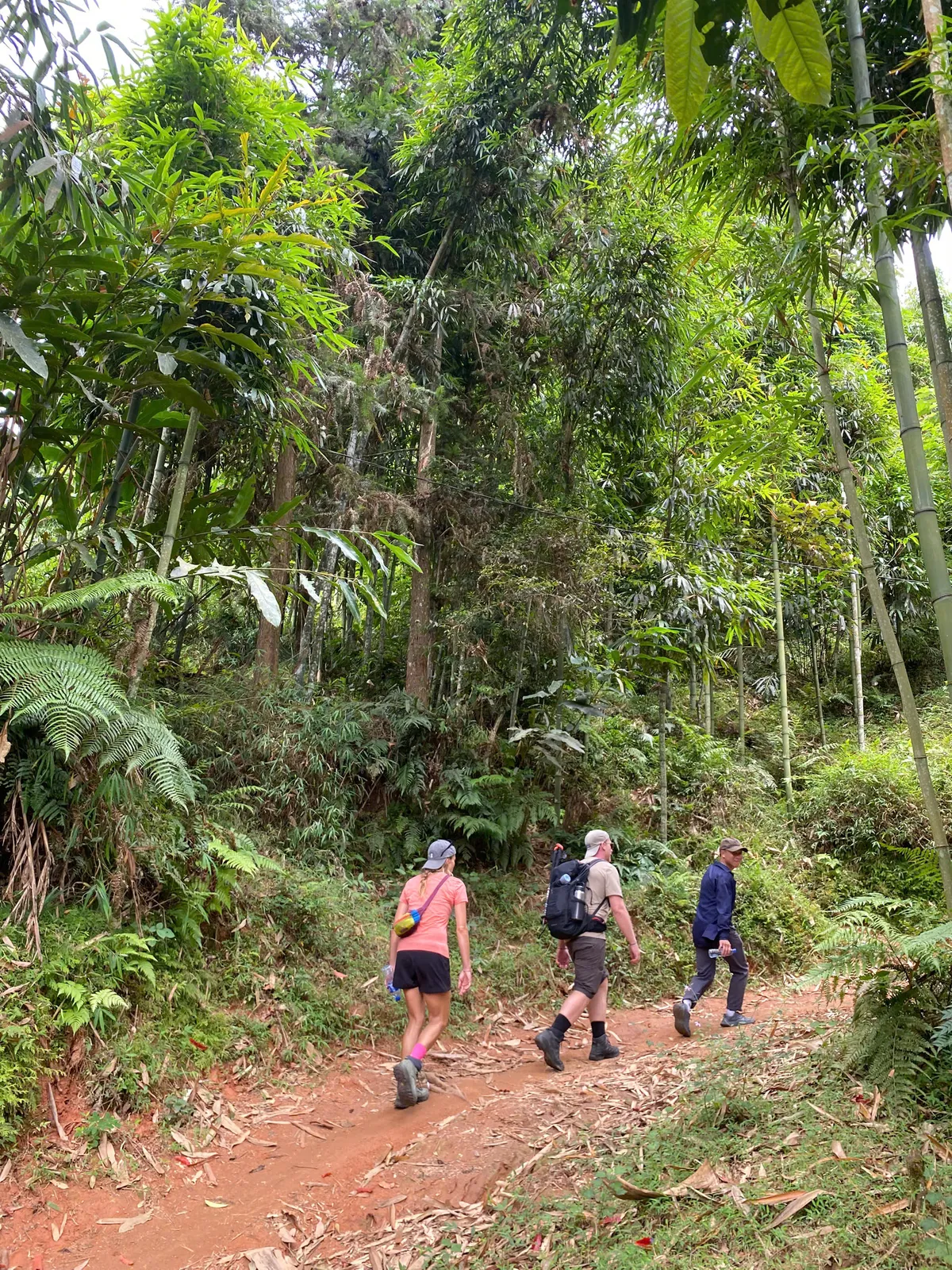
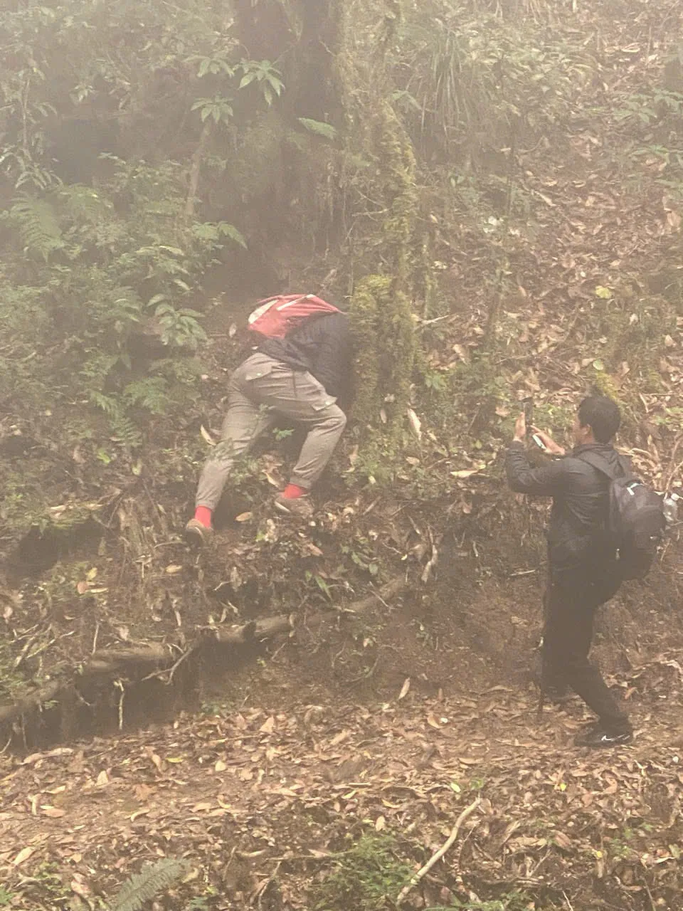
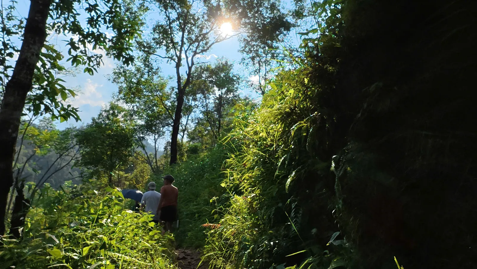
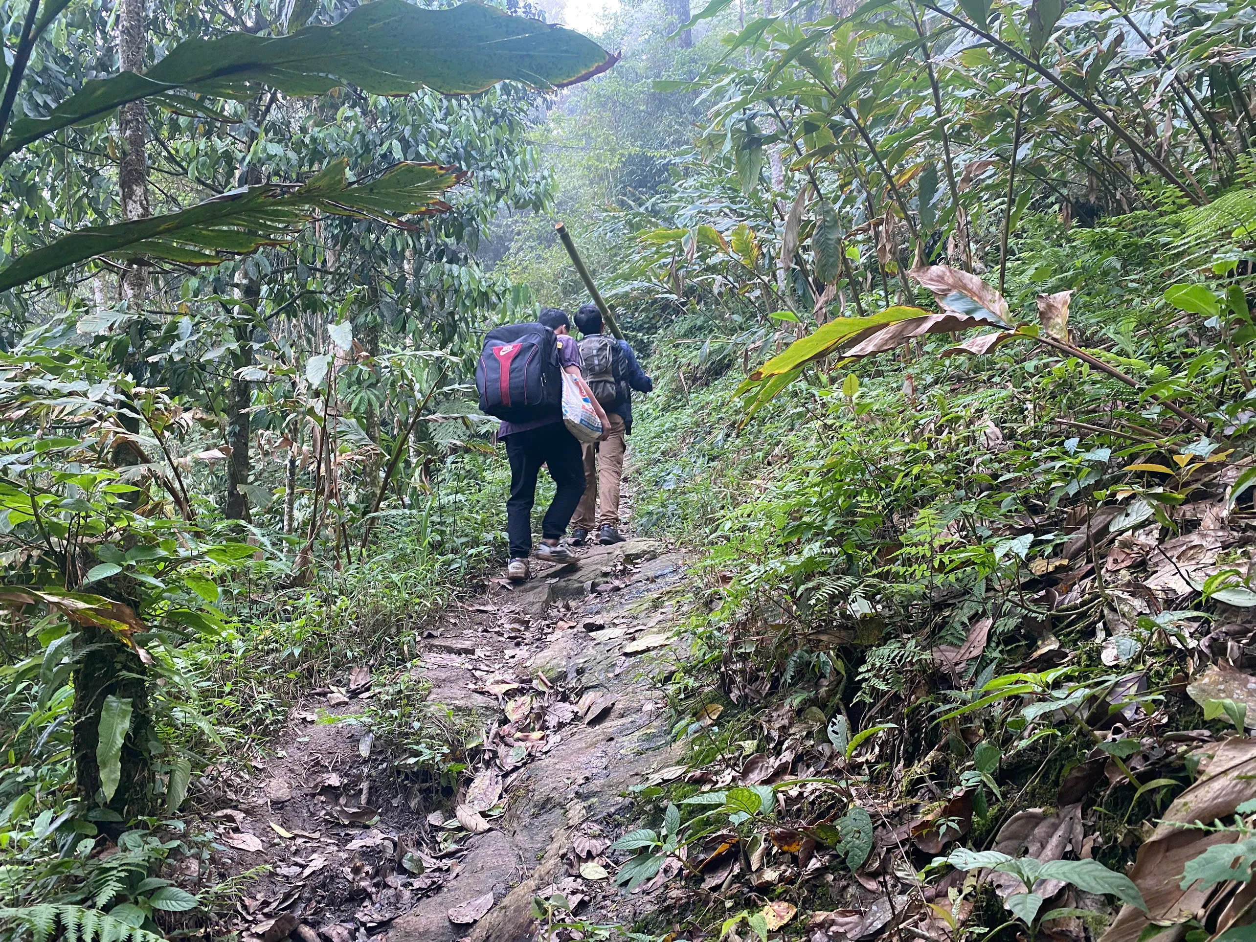
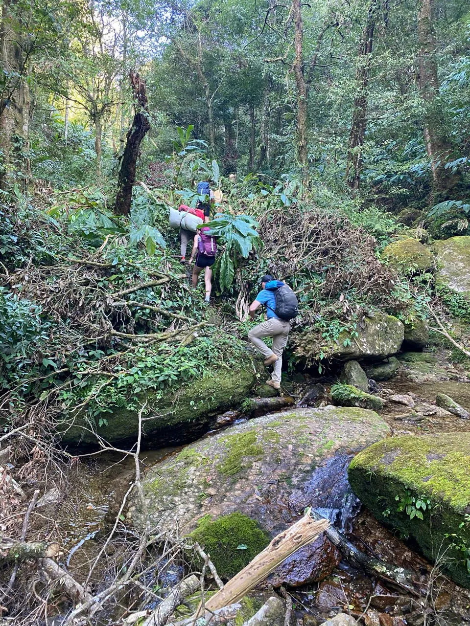
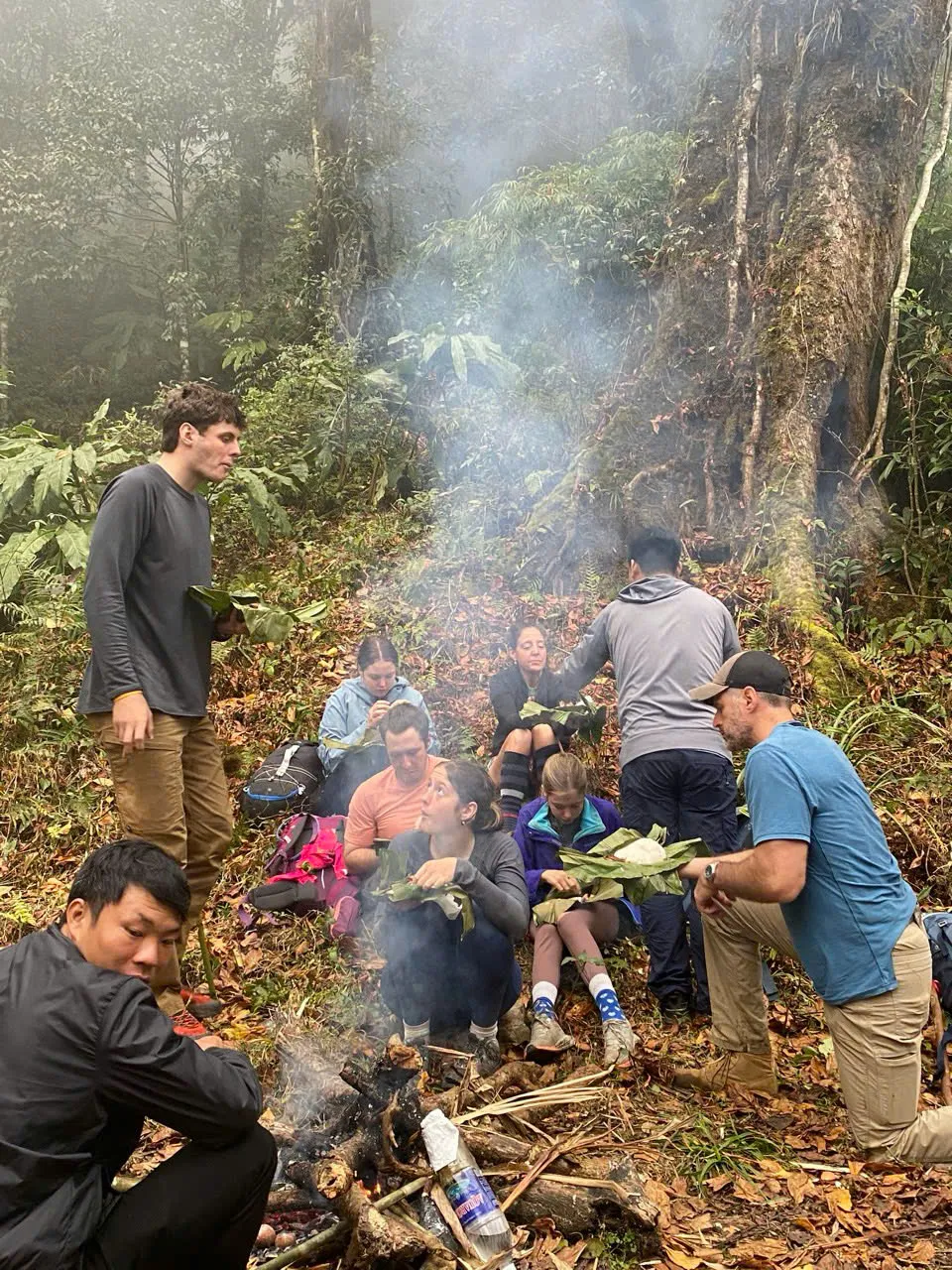
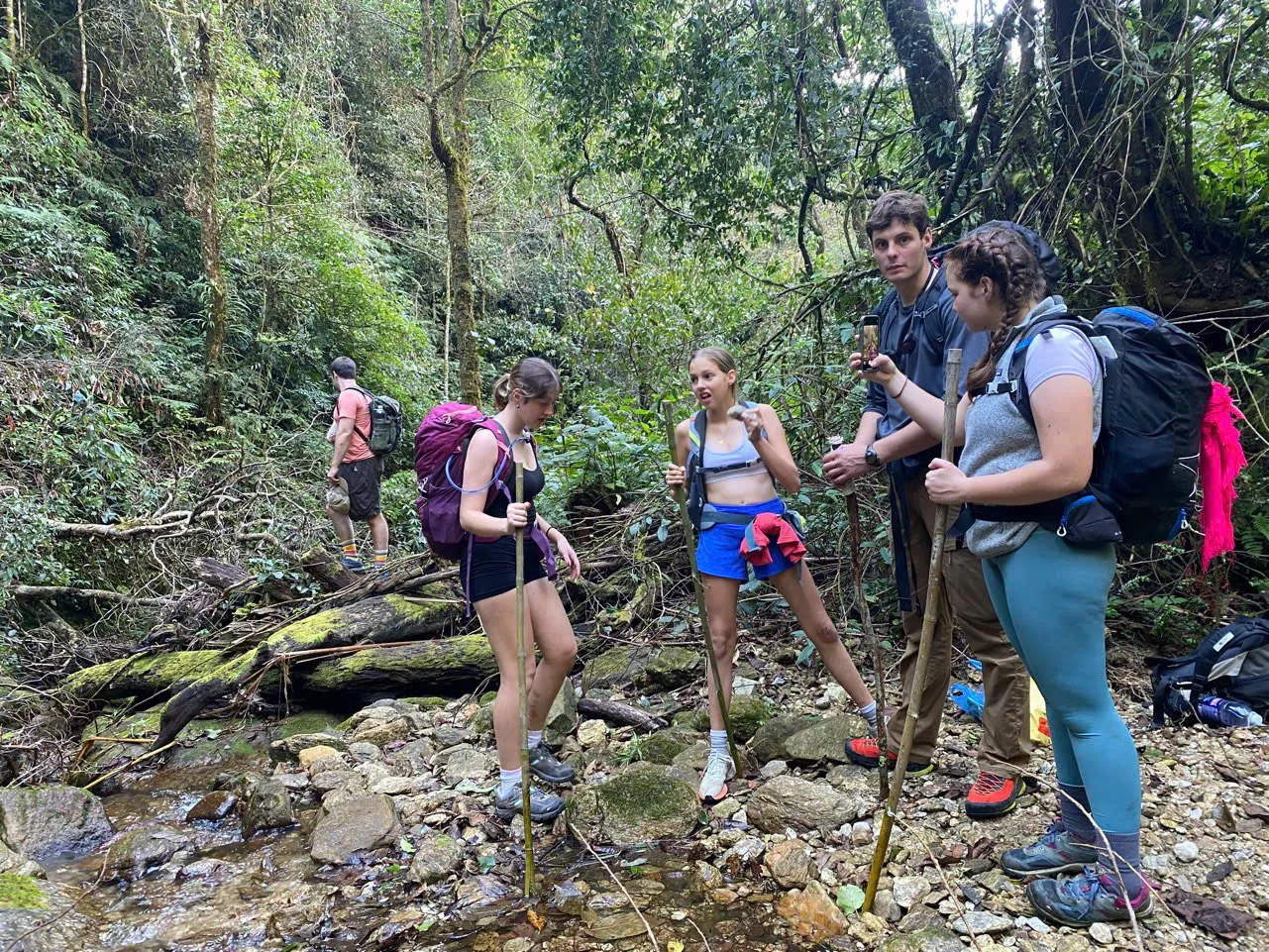
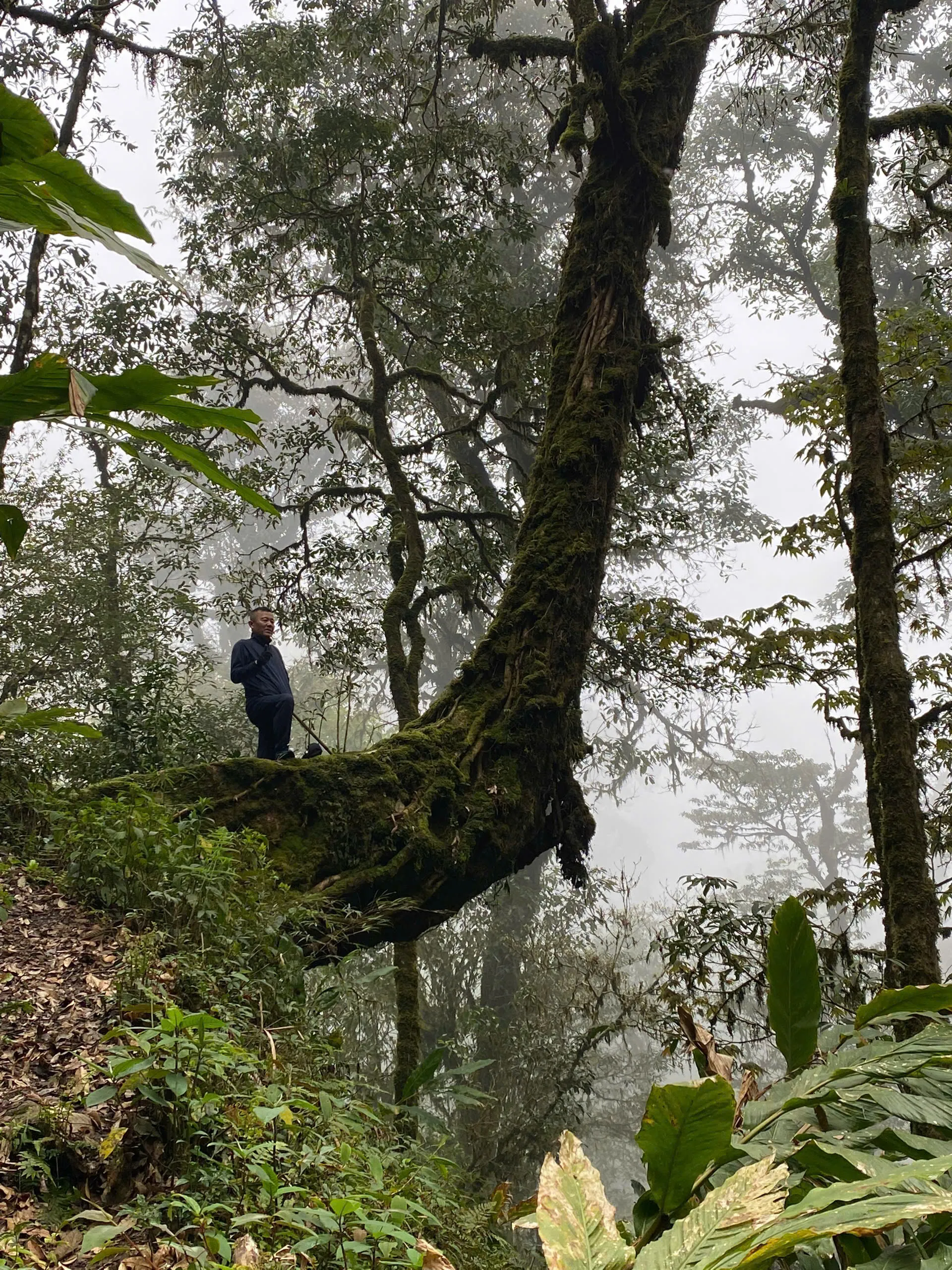
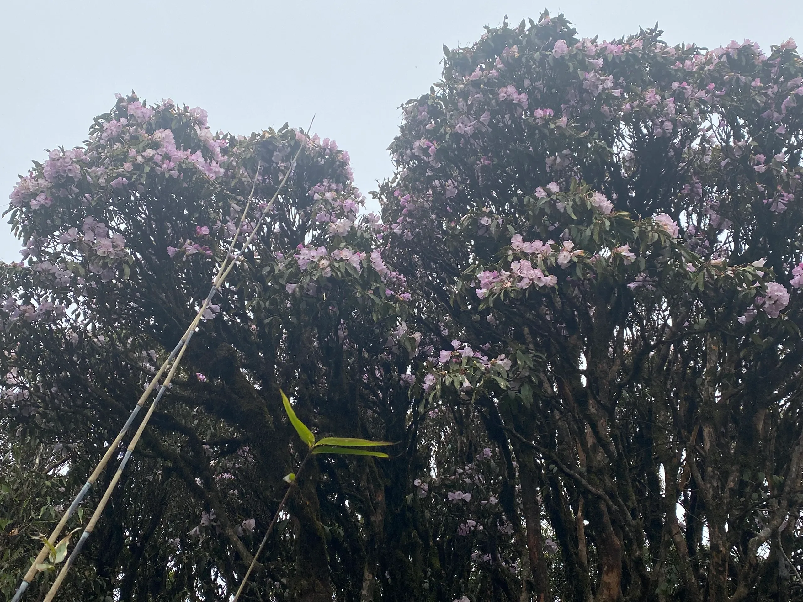
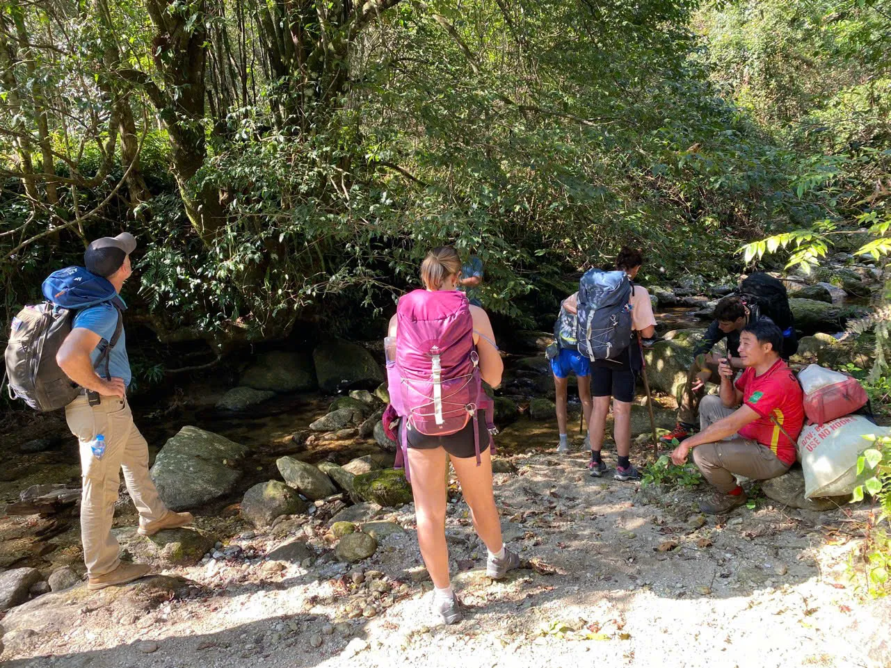
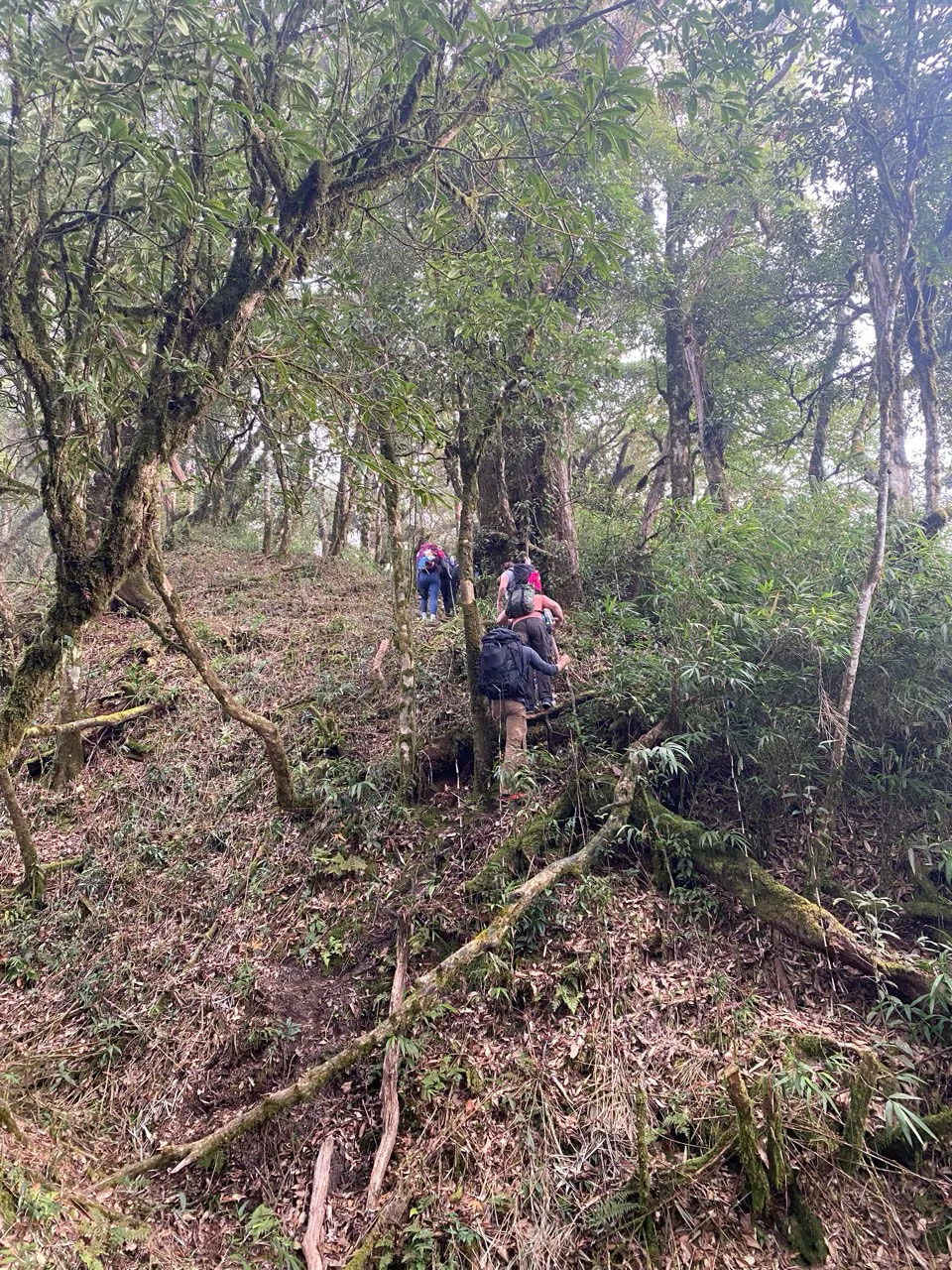
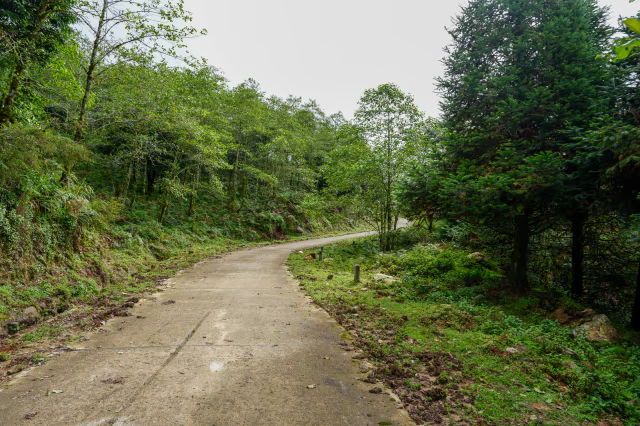
Ridge vista above forest on the southern Tay Con Linh massif — Cao Bo corridor, not the 2,428 m marker route.Steep leaf-covered climb on Day 1 — pacing matters on wet moss.Trail meal break in highland forest — southern crossing rhythm.
— Itinerary
Day by day.
Times and stops are indicative. Pace follows the slowest walker, weather and village rhythm on the day.
Route outline
Day 1
Cao Bo → ridge shelter
Walking · Overnight
Day 2
Sunrise ridge → Thuong Son
Walking
Tay Con Linh cloud-forest day: Cao Bo approach, Thuong Ven and Thuong Son context, lower ridge viewpoint — not the Tung San summit line. Day-by-day detail stays in the itinerary below — the map is supplementary schematic evidence only.
Illustrative Route Map
This schematic map shows the approximate route sequence, walking sections, transfers and overnight stops. It is not a GPS track; exact trail lines may change with weather, trail conditions and guide decisions.
Walking — Solid line
Vehicle transfer — Long dash
Approach / shuttle — Dotted
Optional section — Dash-dot
Tay Con Linh cloud-forest day: Cao Bo approach, Thuong Ven and Thuong Son context, lower ridge viewpoint — not the Tung San summit line.
Begin in Cao Bo with a slow climb through ancient Shan tea, including trees over 300 years old. Stop for a picnic lunch at a forest clearing, then make a long pull onto the upper ridge. Arrive at the wooden shelter by mid-afternoon for a hot wash and early dinner.
07:30
Trailhead briefing in Cao Bo
Tea with the host family, followed by a pack check and water refill.
08:00
Climb through old Shan tea
Working tea farms with trees three centuries old.
11:30
Picnic lunch in a forest clearing
Sticky rice, smoked pork, mountain greens.
13:00
Long climb to the ridge
A steady ascent through cloud forest, shaman trees and mossy paths.
16:00
Arrival at the ridge shelter
Settle in, take a hot wash and layer up; the temperature drops fast.
18:30
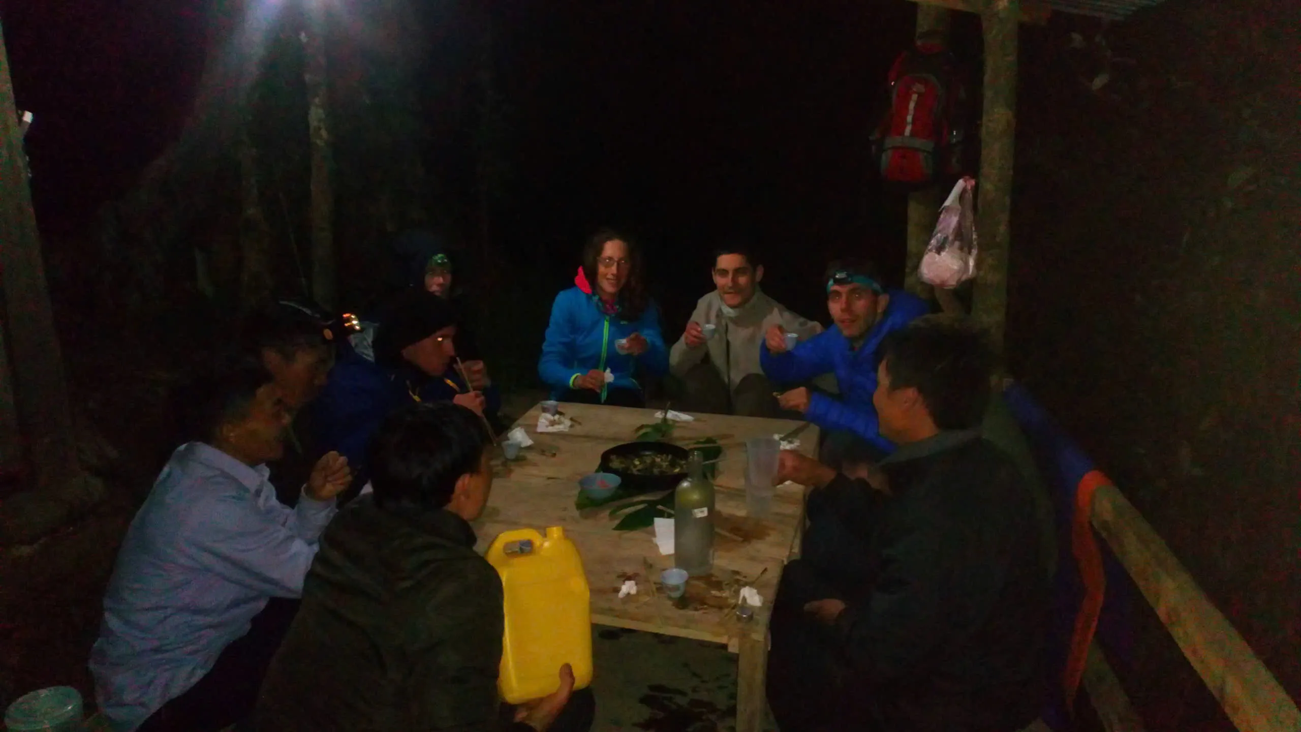
Early dinner around the stove
Hot soup, rice, mountain greens, ginger tea.
Day 2
Sunrise ridge → Thuong Son
Walking · Meals · Breakfast · Lunch
11 km · 5 – 6 h walking
Walk before dawn from the shelter to a lower ridge viewpoint on the Tay Con Linh massif — not the 2,428 m summit marker — for cloud and valley light when visibility allows. Then make a long descent on the southern slope through forest and Red Dao villages. End at a working farm in Thuong Son for a late lunch.
05:00
Pre-dawn walk to the viewpoint
A 20-minute headlamp walk to a quiet point on the upper ridge.
06:00
Sunrise on the cloud sea
First light over the eastern valleys.
07:30
Breakfast at the shelter
Sticky rice, eggs, hot tea.
08:30
Descent through the cloud forest
Follow a soft path under moss-hung trees as the day slowly warms.
11:30
Walk through Red Dao villages
Pass working farms, drying tea and friendly waves.
13:00
Lunch at a Dao farmhouse
Hosted meal — corn, mountain pork, fresh greens.
14:30
Trailhead pickup at Thuong Son
Drive back to Ha Giang city, arriving around 17:00.
— Accommodation
Where you sleep.
Household, lodge or shelter is confirmed for your travel dates when you enquire — we do not guarantee a fixed hotel brand on multi-night plateau routes unless named below.
Point-to-point southern corridor — Cao Bo to Thuong Son, not an out-and-back from Tung San
Climb through working Shan tea farms — some trees over three centuries old
Night in a wooden ridge shelter with sleeping bags — simple mountain accommodation
Pre-dawn walk to a lower ridge viewpoint on the Tay Con Linh massif — not the 2,428 m marker
Long descent through Red Dao villages — hosted lunch and road pickup at Thuong Son
— Inclusions
What's included.
Included
Private transfers to and from the trail
English-speaking lead guide and local Dao trail guide
1 night in the wooden ridge shelter
Sleeping bag rated to 0 °C, mat and pillow
All meals from Day 1 lunch to Day 2 lunch
Hot drinks at altitude
Permits and forest entry fees
Personal accident & trekking insurance
Not included
Transfers from outside Ha Giang province
Hotel before/after the trek
Alcoholic beverages
Tips for guides, porters and host families
Personal trekking equipment beyond what is listed
— Practical detail
Packing & good to know.
Pack
Sturdy trekking footwear with good ankle support (strongly recommended)
Daypack (25 – 30 L)
Warm hat, gloves, fleece, insulated jacket
Thermal base layer + spare socks for the night
Light rain shell
Headlamp with spare batteries
Trekking poles strongly recommended
Good to know
This route starts from Cao Bo commune on the southern massif — most guests overnight in Ha Giang city the night before, not Hoang Su Phi town.
This corridor does not visit the 2,428 m Tay Con Linh summit marker. For that approach, see Tay Con Linh from Tung San.
Guide field note: Shan tea trees above Cao Bo are picked in spring. Autumn walks pass drying racks, not harvest work.
The ridge shelter is simple shared accommodation — sleeping bags are used on trail. Do not assume lodge-level power, signal or bathroom facilities.
On Day 2, descend through Red Dao villages to Thuong Son. Trekking poles are strongly recommended on wet mossy steps.
Local access and administrative arrangements are handled by the local team. Guests are asked to provide their full name, nationality, passport number and a passport image before departure.
Storm season on the massif: enquire for current departure windows — we do not treat June–September as routine operating months on Tay Con Linh.
— FAQ
Common questions.
Q · 01
Does this route reach the 2,428 m Tay Con Linh summit marker?
No. This is the Cao Bo → Thuong Son cloud-forest crossing with a lower ridge viewpoint — not the Nam Hong → Tung San corridor that aims for the marker when conditions allow.
Q · 02
How does this differ from Tay Con Linh from Tung San?
Cloud forest is point-to-point from Cao Bo to Thuong Son on the southern / Vi Xuyen side. From Tung San starts near Nam Hong, returns to Tung San, and may reach the 2,428 m marker when the guide judges it safe.
Q · 03
How does this differ from Chieu Lau Thi?
Chieu Lau Thi is a separate 2,402 m mountain (also locally called Kieu Lieu Ti). This route stays on the Tay Con Linh massif with a different start, finish and overnight rhythm.
Q · 04
How basic is the ridge shelter?
A simple shared mountain shelter — bunks, sleeping bags in use, and a basic overnight stop after a long Day 1. Facilities are not comparable to Chieu Lau Thi 2402m Lodge.
Q · 05
What should I pack?
Sturdy trekking footwear with good ankle support is strongly recommended, plus daypack, water, rain layer, trekking poles, headlamp, personal medication, a dry overnight layer and basic personal items.
Q · 06
Who is this route best for?
Travellers comfortable with long mountain walking days, steep forest terrain and a simple overnight shelter — and who want the southern tea-and-village finish at Thuong Son rather than the Tung San marker corridor.
— Booking
What happens after you enquire.
This page holds the schedule, price and inclusions for this route. Confirmation and payment steps are handled directly with our team — not through this website.
Step 1
Enquire
Tell us your route, dates and group size — by WhatsApp from any programme or tour page.
Step 2
Confirm
We reply with availability, a clear price and the logistics needed to confirm your departure.
Step 3
Prepare
You receive what to pack and where to meet before you travel.
— Why book with us
Licensed local operator
Hanoi Travel Mate Co., Ltd. (tax code 0110906485) runs every departure listed on this site — not a reseller or marketplace listing. Licensed Local Operator
Local trekking expertise
Ha Giang has no marked national-park trail network. Paths follow irrigation channels, farm decisions, and weather calls made by people who live on the route. Local trail guides from each community negotiate homestay space, read fog on the ridge, and know when a bamboo bridge is safe after rain — alongside English-speaking trekking leads who handle logistics, pace and guest communication.
Transparent enquiry process
No payment on this site. Enquire by WhatsApp; we usually reply within 24 hours with availability, a clear price and what to pack. Booking Terms
No payment on this site
Every departure is confirmed after a direct conversation. Nothing is collected or stored here. Payment Policy
Safety and responsible travel
Personal accident and trekking insurance is included on published hub programmes — see each programme's includes list. Extended journeys and custom expeditions do not include trekking insurance. Community and forest permit fees are included in programme prices where listed and paid to the communes on your behalf. Extended journey and custom permit requirements vary by route. Safety Policy
Community payments stay local
Homestay payments go directly to host families — we do not take a margin on meals or overnight stays. Responsible Travel
— Deposit, cancellation & enquiry
—Enquire by WhatsApp — we usually reply within 24 hours with availability, price and what to pack
—No payment on this site — confirmation steps are shared directly after your enquiry
—Published extended journeys: 30% deposit and free cancellation up to 14 days before departure — confirmed for your departure before you travel
—If we cancel your departure for safety or weather before you travel, we offer a full refund or reschedule
—Weather or safety may require a postponed or adjusted route — we confirm options with you, not through the website checkout
Days alone do not define the trip. A three-day Ban Luoc hub programme and a four-day Hoang Su Phi extended journey cover overlapping geography but differ in pace, product line and booking page. Programme vs Extended Journey.
Hub programme
One to three focused walking days in Hoang Su Phi, Village Treks or Ridge & Cloud — a defined route with schedule and price on the programme page.
Local trail guides from the communities on the route, with English-speaking trekking leads on every departure. Guide roles & field notes
Community & permits
Homestay payments go directly to host families — we do not take a margin on meals or overnight stays. Community and forest permit fees are included in programme prices where listed and paid to the communes on your behalf. Extended journey and custom permit requirements vary by route.
Insurance & group size
Personal accident and trekking insurance is included on published hub programmes — see each programme's includes list. Extended journeys and custom expeditions do not include trekking insurance. Guide-led programmes run small groups — typically 2–8 trekkers; ridge routes cap at six.
Operator & enquiry
No payment on this site. Enquire by WhatsApp; we usually reply within 24 hours with availability, a clear price and what to pack. Licensed Local Operator · Safety Policy
— Places and routes
Landscape and season articles sit alongside this trek page — open them for place context, then enquire here for dates and price.
Send your dates and walking history — we reply with availability and a private price for your party. Travelling solo? Ask us whether a compatible shared departure is available for your date — not guaranteed.