Pre-dawn on the upper Tay Con Linh ridge
The 05:00 walk from shelter to viewpoint, cloud-sea probability, and how this differs from the 2,402 m summit push.
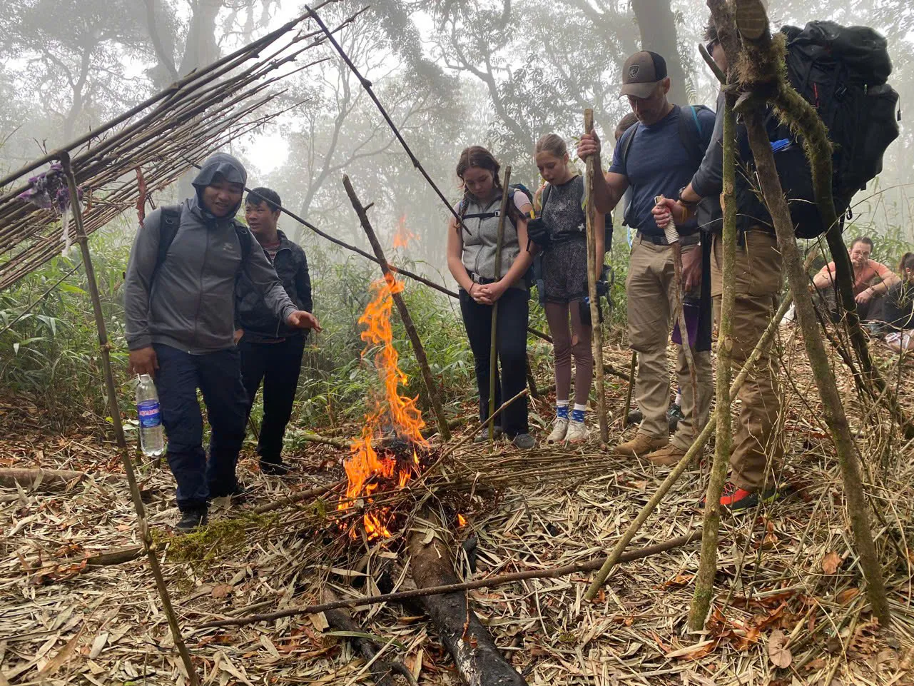
Cao Bo cloud forest 2D1N.
This field note supports the operating Tay Con Linh cloud-forest programme — Cao Bo → Thuong Son on the southern massif. It does not reach the 2,428 m summit marker (see Tay Con Linh from Tung San for that corridor).
- Tay Con Linh — cloud forest (2 days)
Cao Bo → Thuong Son — southern corridor, lower viewpoint (not the 2,428 m marker).
- Tay Con Linh trekking guide
Primary route chooser — two operating 2D1N corridors and retired 3-day context.
Pre-dawn on the upper ridge.
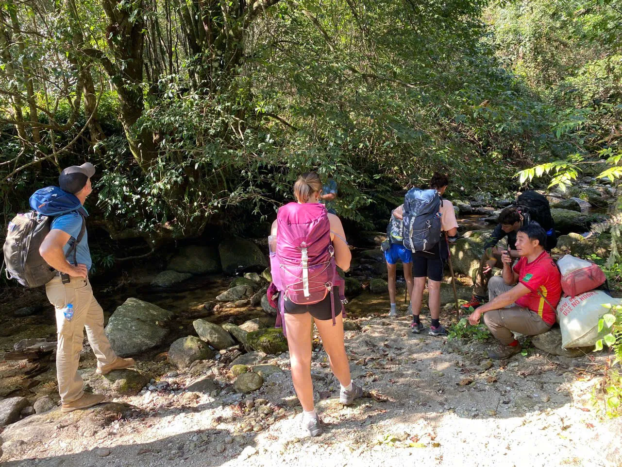
Day 2 of the Tay Con Linh cloud-forest route begins before dawn with a twenty-minute headlamp walk from the ridge shelter to a viewpoint below the Chieu Lau Thi summit at 2,402 m. You sleep high, walk up fresh, and watch first light over the eastern valleys — without compressing a full daylight climb from Hoang Su Phi into one calendar day.
This is not the full summit push to the highest knob on the massif. The viewpoint sits on a marked standing line on the leeward side of the upper ridge — safe exposure, cloud-sea sightlines east, and on clear mornings westward terrace country below Tay Con Linh.
The same cloud physics apply as on Chieu Lau Thi summit: inversions after clear nights, scoured decks in strong wind, uniform grey when fog never breaks. Your guide reads conditions at 04:00 and may delay twenty minutes if cloud base is rising too fast.
- Tay Con Linh — cloud forest (2 days)
Cao Bo → Thuong Son — southern corridor, lower viewpoint (not the 2,428 m marker).
- Chieu Lau Thi — sunrise ridge (1 day)
Single demanding day — morning departure after breakfast, daylight ascent, meal on the ridge.
- Ridge & Cloud programmes
Compare routes, difficulty and seasons at this collection hub.
05:00 walk to first light.
- 04:30 · Wake, layer, hot tea at shelter
- 05:00 · Headlamp walk to viewpoint (~20 min)
- 06:00 · Sunrise over eastern valleys
- 07:30 · Breakfast back at shelter
- 08:30 · Begin Day 2 descent
December sunrise is near 06:45 — leave the shelter around 05:30. March shifts earlier; guides adjust daily. Goal is to stand on the ridge as light hits the eastern face, not to arrive in full dark and wait an hour in wind.
- Tay Con Linh — cloud forest (2 days)
Cao Bo → Thuong Son — southern corridor, lower viewpoint (not the 2,428 m marker).
Viewpoint vs 2,402 m summit.
The one-day sunrise ridge and the Hoang Su Phi cloud-sea programme both reach the 2,402 m Chieu Lau Thi crest. The cloud-forest route on neighbouring Tay Con Linh stops at a viewpoint below that knob — twenty minutes from the shelter, less exposure, same cloud deck when inversion aligns.
Guides choose the viewpoint line when wind on the true spine exceeds safe standing conditions. Visibility can drop to twenty metres on the windiest knob; the leeward viewpoint keeps the group together and oriented.
If valleys stay clear, alpenglow on eastern karst and long westward views still reward the early start — some mornings are better for terrace layers west than for a white eastern deck.
- Chieu Lau Thi — sunrise ridge (1 day)
Single demanding day — morning departure after breakfast, daylight ascent, meal on the ridge.
- Chieu Lau Thi — cloud sea (2 days)
Two-day walk from Ta Su Choong with lodge night at Chieu Lau Thi 2402m Lodge.
Cloud-sea probability.
Cloud sea forms when warm valley air meets cold ridge wind — common on clear nights after rain. Never guaranteed. Strong overnight wind scours the deck before dawn. A weak inversion after a hot afternoon lets fog burn off early.
Your guide reads smoke behaviour from foothill hamlets the evening before and wind on the shelter ridge at 04:00. Town forecasts are a poor guide for the viewpoint.
- Oct – Nov · Clear mornings; moderate cold
- Dec – Feb · Frequent cloud sea; freezing shelter nights
- Mar – Apr · Rhododendron; summit views less guaranteed
- Best time to trek Ha Giang
Month-by-month conditions across the province.
Waiting on the ridge.
You may reach the viewpoint twenty to forty minutes before colour appears in the cloud deck — cold and stationary. Layer before you stop moving; wind at 2,100 m pulls heat faster than the ascent generated it.
Sit on pack or rock, not bare spine — rock conducts cold. Guides gather the group on the leeward side of an outcrop. Hand warmers started at the shelter beat starting them at the ridge.
Breakfast happens back at the shelter after first light — sticky rice, eggs, hot tea. Eat a snack before the pre-dawn walk if you need fuel; do not skip layering to eat on the spine in wind.
- Sunrise photography on Tay Con Linh
Settings, batteries and safe standing lines at dawn.
Twenty minutes by headlamp.
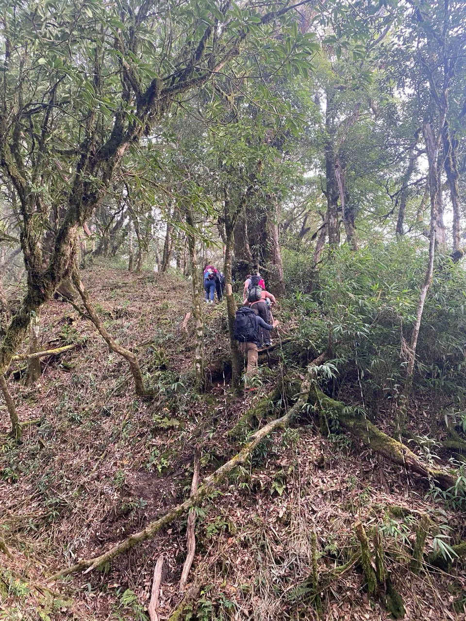
The path from shelter to viewpoint is marked but uneven — roots, stone steps, mud after rain. Stay single file behind your guide. Angle your beam at the ground, not the person ahead.
Pacing is deliberately slow — heart rate should stay conversational. This is not the full daylight climb of the one-day route; it is a short positioning walk after a shelter night.
- Tay Con Linh — cloud forest (2 days)
Cao Bo → Thuong Son — southern corridor, lower viewpoint (not the 2,428 m marker).
Photography at the viewpoint.
Eastern cloud decks need exposure compensation — bright fog blows highlights if you meter on foreground rock. Bracket if your camera allows. Phone cameras struggle with dynamic range between dark ridge and bright cloud — tap to expose for sky, accept silhouette foreground.
Cold drains lithium fast — batteries in an inner pocket until needed. Wide lens for cloud deck; telephoto for karst peaks breaking through. Do not step backward while framing — eastern drops are real.
On clear mornings, west-facing terrace layers reward a pan away from the cloud story — guides allow a few minutes for west shots after sun clears the eastern face.
- Photography on the Chieu Lau Thi ridge
Exposure and standing lines on the 2,402 m summit programme.
Breakfast and descent start.
Return to the shelter for breakfast, pack daypack, begin the long southern descent through cloud forest toward Red Dao villages. The viewpoint walk is the emotional peak; the knees work harder after 08:30.
Trekking poles recommended from the first descent steps — mossy stone holds moisture even when the ridge was clear at dawn. Layer down as forest shade and humidity rise.
You carried only a daypack on the mountain; road pickup at Thuong Son is late afternoon. The hosted lunch in a Dao farmhouse is Day 2's cultural counterweight to the shelter night.
- Red Dao descent to Thuong Son
The long Day 2 descent and hosted lunch.
Sleep high vs same-day climb.
The one-day Chieu Lau Thi sunrise ridge leaves Hoang Su Phi in the morning after breakfast, climbs in daylight to the 2,402 m spine, eats on the summit when conditions allow, and returns to town by late afternoon.
The cloud-forest route trades that compressed day for a shelter night and a short pre-dawn walk. Same massif, different rhythm. Choose one-day if dates are tight. Choose cloud forest if you want forest immersion and a village finish.
The Hoang Su Phi two-day cloud-sea programme also sleeps high — from Ta Su Choong, not Cao Bo. Compare all three on the Ridge & Cloud hub when choosing a bookable alternative.
Chieu Lau Thi one-day programme shares summit geography with Kieu Lieu Ti Day 2 morning — compressed into a single daylight climb instead of a shelter night.
Photography priority: viewpoint still delivers cloud deck; crest purists should read one-day ridge guide before choosing cloud forest alone.
- Chieu Lau Thi — sunrise ridge (1 day)
Single demanding day — morning departure after breakfast, daylight ascent, meal on the ridge.
- Chieu Lau Thi — cloud sea (2 days)
Two-day walk from Ta Su Choong with lodge night at Chieu Lau Thi 2402m Lodge.
- Ridge & Cloud programmes
Compare routes, difficulty and seasons at this collection hub.
Guide standing lines.
Marked standing lines exist because eastern drops are real — not theoretical brochure drops. Your guide positions the group before light and may move everyone lower if gusts strengthen. Do not freelance higher for photos until given the word.
When visibility falls below twenty metres in cloud, the group tightens to voice contact range. Summit knob photography waits — a whiteout on an exposed spine is not the moment for lens changes.
Turn-back before the viewpoint is rare but possible if pre-dawn wind exceeds safe walking — you still get breakfast and descent; cloud sea is not worth injury.
- Tay Con Linh — cloud forest (2 days)
Cao Bo → Thuong Son — southern corridor, lower viewpoint (not the 2,428 m marker).
When valleys stay clear.
A morning without cloud sea is not a failed trip. Alpenglow on eastern karst and long westward terrace views reward the early start when inversions fail — some photographers prefer clear west layers over a white eastern deck.
On clear mornings radiative heat loss is faster on bare rock — the stationary wait feels colder than cloudy ones. Layer before stopping; hand warmers at the shelter beat starting them on the ridge.
Guides allow a few minutes for west-facing frames after sun clears the eastern face — then descent timing resumes. Day 2 knees still have eleven kilometres to Thuong Son.
Phone cameras fog when moved from cold ridge to warm pocket — wipe lens before village descent shots later in the day.
Journal the wind direction at the viewpoint — return visitors say it predicts afternoon valley weather on descent better than any phone app.
- Photography on the Chieu Lau Thi ridge
Clear and cloudy morning techniques on the massif.
Common questions.
Do we reach the 2,402 m summit?
The cloud-forest route uses a viewpoint just below the summit — same cloud deck, less exposure. One-day and cloud-sea programmes reach the 2,402 m crest.
What if cloud fills the valleys?
Guides wait at marked leeward standing lines. Uniform grey from midnight usually means low cloud base — westward views may still open.
What time is alarm?
Roughly 04:30 at the shelter; pre-dawn walk around 05:00. Adjusts with season.
Is this easier than the one-day route?
Easier on sleep and pre-dawn climbing — not easier overall. Day 2 still includes five to six hours descent after the viewpoint.
Published by Ha Giang Trekking — field knowledge from local trail guides on the routes described, checked against programme schedules and operating notes.
Journal pages are for route research and planning. Dates, prices, day-by-day schedules and enquiry sit on programme and tour pages.
Articles are published under Ha Giang Trekking. Named writer and guide bylines will be added when verified bios and consent are on file.
Operational details on programme and tour pages are published only after being checked against current operating information.
Compare published routes and open the programme or journey page when you are ready to enquire.
- Ridge & Cloud — compare summit programmes
Compare difficulty, seasons and walking style before you enquire.
- Tay Con Linh cloud forest (2 days)
Tay Con Linh cloud forest (2 days) — dates, pricing and enquiry.
- Tay Con Linh from Tung San (2 days)
Tay Con Linh from Tung San (2 days) — dates, pricing and enquiry.
- Tay Con Linh Summit
Trekking operations on this route are currently unavailable, and we are not accepting bookings for it at present.
Trekking operations on this route are currently unavailable, and we are not accepting bookings for it at present.
- Tay Con Linh: A Complete Guide for Trekkers
Main walking guide for Tay Con Linh.
- Hoang Su Phi Rice Terraces: A Complete Guide for Trekkers
Landscape, seasons and routes around Hoang Su Phi.
- Chieu Lau Thi: A Complete Guide for Trekkers
Neighbouring walking country linked to Tay Con Linh.
Ready to walk with local guides?
Dates, pricing and the day-by-day itinerary are on the programme page. Enquire about a departure when you are ready — we usually reply within 24 hours with availability, a clear price and what to pack.
Tay Con Linh — cloud forest (2 days) — dates, pricing and itinerary