Walking distance vs road distance on Ha Giang treks
Why Google Maps road kilometres are not trekking kilometres — walking, vehicle and approach distances stay separate.
Why a Ha Giang trek kilometre is not a road kilometre.
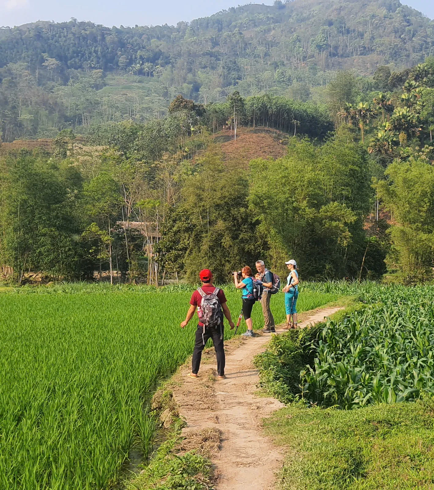
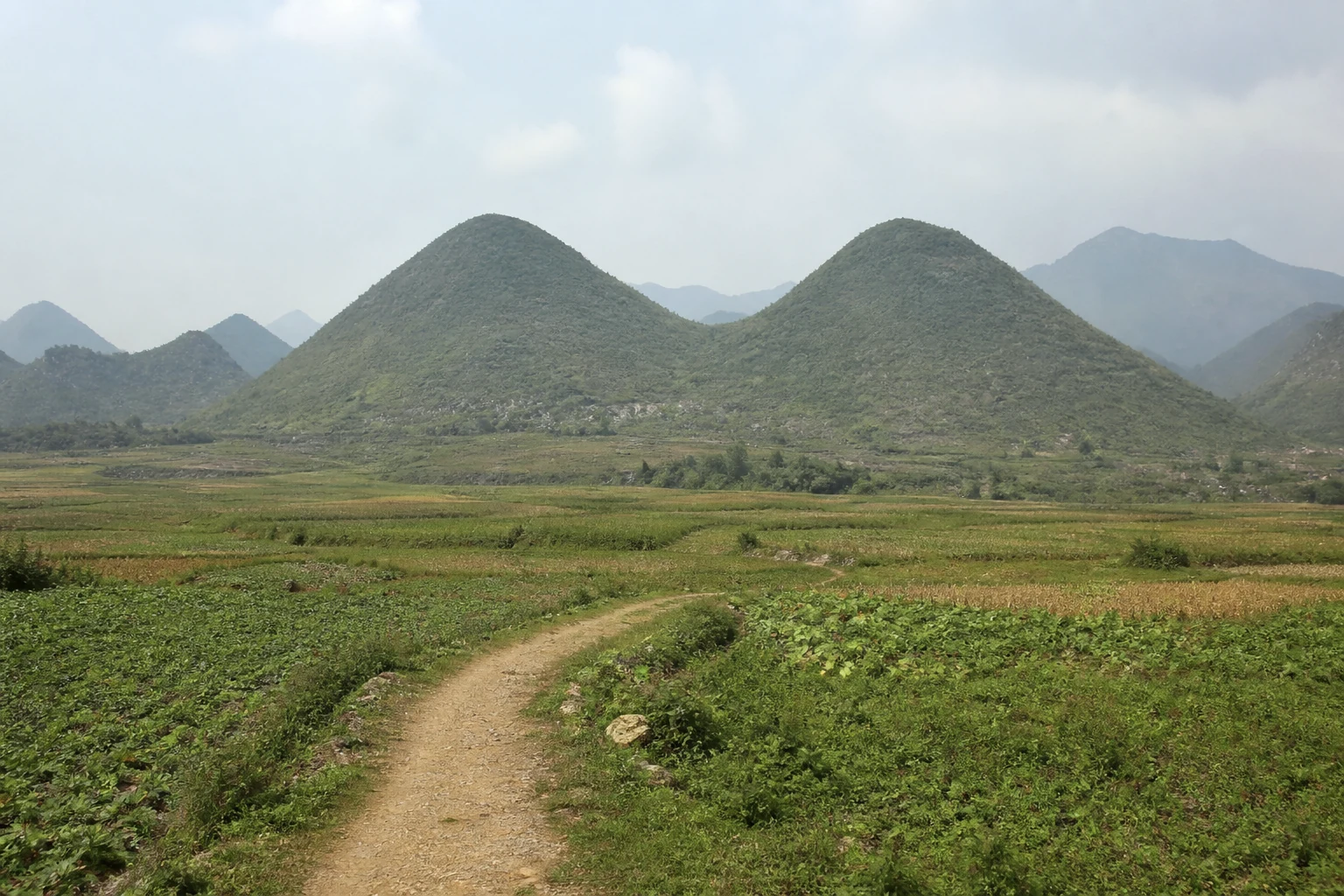
Google Maps and most transfer quotes measure road distance — sealed or dirt roads a vehicle can follow. Trekking distance is the walking line: terrace walls, forest paths, village tracks and ridge steps. Those two numbers are not interchangeable.
A support vehicle may cover tens of road kilometres while you walk a shorter trail. The reverse is also common: a short road gap hides a long walking day. Adding them together produces a false “trip km”.
This page explains the difference. It does not publish a new surveyed kilometre table. Programme pages show operational walking figures only where we already use them, and hide elevation gain until it is verified.
- Trekking logistics in Ha Giang
Transfers, meeting points and timing.
- Luggage on Ha Giang treks
The bag often travels the road while you walk.
- Getting to Ha Giang from Hanoi
Long-distance road hours are not walking hours.
Three distances that get mixed up.
Walking km — the trail you cover on foot that day. This is the figure that belongs on a trek page.
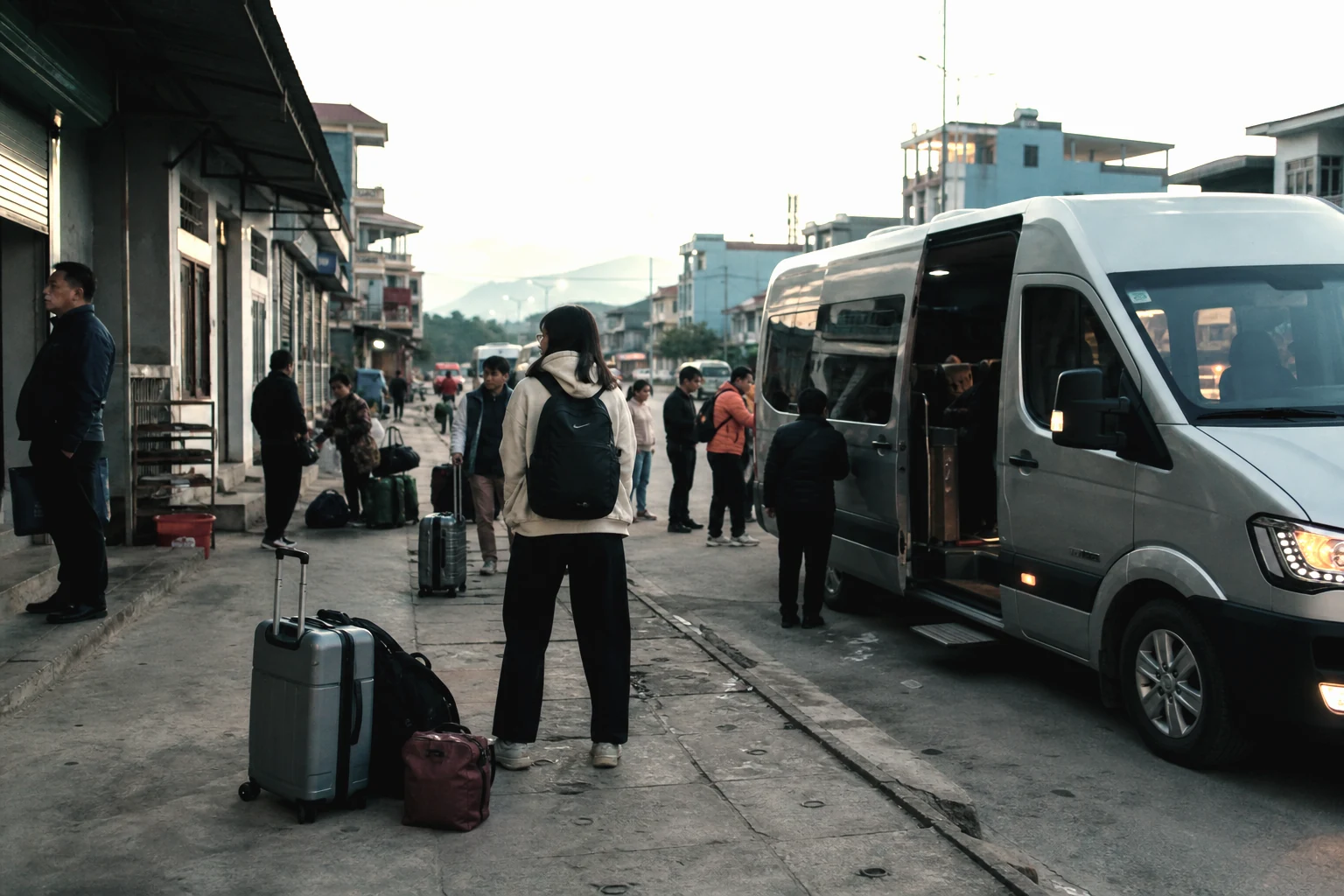
Vehicle km — transfers between town, trailhead, overnight point or the next district. On the west-to-east journey, the Ban Luoc to Lo Lo Chai recovery day is this kind of distance, not a walking day.
Approach or road-access km — a public map may list Ho Thau to Chieu Lau Thi as about 12 km of mountain road. That is access, not the lodge-to-summit walk. Origin-style road tables are useful for driving, not for selling a walking day.
Why Google Maps disagrees with the trail.
Most consumer maps snap to the road network. Village paths on terrace walls and forest shelter lines are missing or incomplete. A pin-to-pin driving time from Hanoi or Ha Giang City tells you nothing about hours on foot above Nam Hong or on the karst.
Trail apps can be closer, but only if the recorded line matches our start, finish, overnight and walking section. A Chieu Lau Thi track that starts at the highest parking stairs is not the Ta Su Choong lodge programme. A Tay Con Linh camping track from Xà Phìn is not the Tung San forest-shelter line.
When public tracks disagree — Sky Path listings from about 3 km to 7 km — the usual cause is a different trailhead, a road section left on the GPS, or a loop versus a one-way. We do not average those into a fake official kilometre.
- Chieu Lau Thi cloud sea
Lodge 2D1N — not the parking-lot stairs.
- Tay Con Linh from Tung San
Tung San access — not Xà Phìn camping packages.
- Hoang Su Phi to Dong Van journey
Walking days and transfer days are listed separately.
What we publish and what we hide.
Peak altitudes that many independent sources agree on — Chieu Lau Thi at 2,402 m — can appear as highest point. That number is the summit marker, not the ascent from the lodge.
Operational walking ranges already used on a programme page may stay visible, labelled as operational, not surveyed. New kilometres from a single blog, an unlabeled elevation widget, or a mismatched GPX stay hidden.
We do not republish proprietary GPX or competitor maps. When an operator GPX exists, a future map can be labelled for what it is. Until then, map status stays unpublished.
Common questions.
Can I use Google Maps to estimate a Ha Giang trek?
Use it for Hanoi or Ha Giang City road timing only. Do not treat pin-to-pin driving km as the walk. Ask the programme page for the walking line.
Why don’t you publish elevation gain for every route?
Unlabeled elevation widgets often show prominence or cumulative GPS noise. Chieu Lau Thi’s widely copied ~1,597 m figure matches topographic prominence, not a day’s ascent. We hide gain until the number is verified for our line.
Is the 7-day west-to-east journey one continuous walk?
No. Terrace and plateau walking days are on foot. The western-to-eastern connection from Ban Luoc toward Lo Lo Chai is a vehicle recovery day. Those kilometres are not added to walking km.
Published by Ha Giang Trekking — field knowledge from local trail guides on the routes described, checked against programme schedules and operating notes.
Journal pages are for route research and planning. Dates, prices, day-by-day schedules and enquiry sit on programme and tour pages.
Articles are published under Ha Giang Trekking. Named writer and guide bylines will be added when verified bios and consent are on file.
Operational details on programme and tour pages are published only after being checked against current operating information.