Tay Con Linh Summit Trek: current routes & 2,428 m approach
Tay Con Linh can be trekked today with local mountain support. The 2,428 m marker is approached on the live Tung San 2D1N corridor when conditions are safe — forest shelter Night 1, summit Day 2, approximately 18 km walking. Cao Bo → Thuong Son is a separate 2D1N without the marker. This page explains current summit options and links to the live programmes.
Choose the corridor that matches your summit goal.
Tay Con Linh trekking is operational through two Ridge & Cloud 2D1N programmes. For full route choice, read the Tay Con Linh trekking guide and the practical comparison.
Current Tay Con Linh 2D1N summit approaches
| From Tung San (live) | Cao Bo cloud forest (live) | |
|---|---|---|
| Corridor | Nam Hong / Tung Quan Lin access | Cao Bo → Thuong Son |
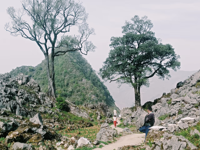
| Summit | 2,428 m marker Day 2 when safe | Lower viewpoint — not the marker |
| Overnight | Forest shelter ~1,850 m (Night 1) | Ridge / cloud-forest shelter |
| Walking | ~18 km over 2 days (operational average) | ~22 km point-to-point (programme page) |
| GPX | No verified GPX published | Operational ranges — not GPX |
Corridor
From Tung San (live)
Nam Hong / Tung Quan Lin access
Cao Bo cloud forest (live)
Cao Bo → Thuong Son
Summit
From Tung San (live)
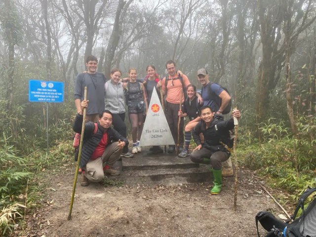
2,428 m marker Day 2 when safe
Cao Bo cloud forest (live)
Lower viewpoint — not the marker
Overnight
From Tung San (live)
Forest shelter ~1,850 m (Night 1)
Cao Bo cloud forest (live)
Ridge / cloud-forest shelter
Walking
From Tung San (live)
~18 km over 2 days (operational average)
Cao Bo cloud forest (live)
~22 km point-to-point (programme page)
GPX
From Tung San (live)
No verified GPX published
Cao Bo cloud forest (live)
Operational ranges — not GPX
Tung San / Tung Quan Lin — 2,428 m when safe
Forest shelter Night 1 (~1,850 m), summit Day 2, ~18 km walking, local guide and porter support. No verified GPX published.
View current Tung San 2D1N trekCao Bo → Thuong Son cloud forest
Southern point-to-point crossing with a lower ridge viewpoint — does not reach the 2,428 m marker.
View Cao Bo cloud-forest trekItinerary
The live summit-marker corridor is the Tung San / Tung Quan Lin 2D1N programme — not the retired three-day packaged format.
Day 1 — access and forest shelter
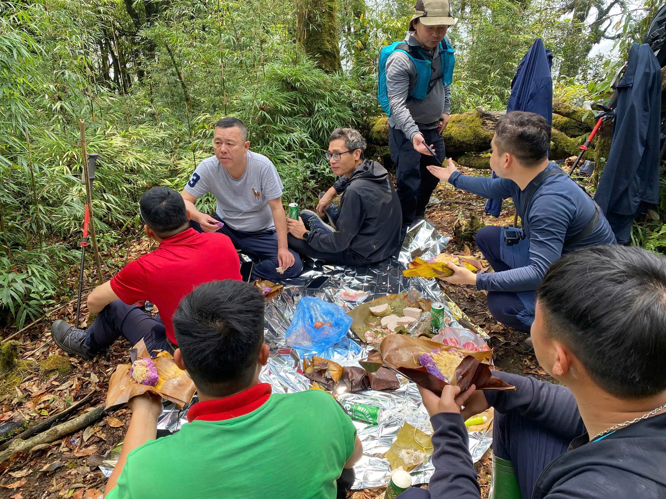
After breakfast (~08:30 from the Nam Hong area), road access toward Tung Quan Lin (typically 2–2.5 hours), then ~4 km walking to a local-house lunch and ~3 km to the forest shelter around 1,850 m — about 7 km walking on Day 1. No summit attempt on Day 1.
Day 2 — marker when safe and descent
From ~1,850 m, ~4 km ascent toward the 2,428 m marker when the guide judges it safe, summit-area picnic when conditions permit, then ~7 km descent and motorbike transfer — about 18 km walking total over two days (operational averages, not GPX).
What the current summit trek is like.
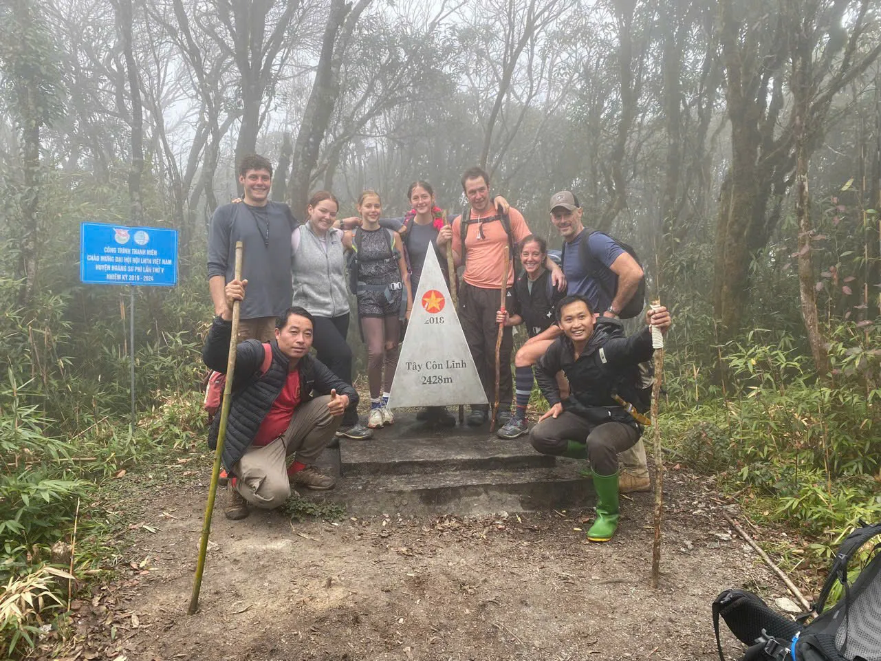
Tay Con Linh can be trekked today with local mountain guides and porter support — not as an abandoned destination. The live approach to the 2,428 m marker runs through the Tung San / Tung Quan Lin 2D1N corridor when weather and trail conditions are safe.
Night 1 is a simple forest shelter around 1,850 m. Day 2 is the summit day — climb, marker when safe, picnic on or around the summit area, then descent and motorbike transfer toward the former Tung San commune centre. Total walking is approximately 18 km over two days — operational averages, not GPX precision.
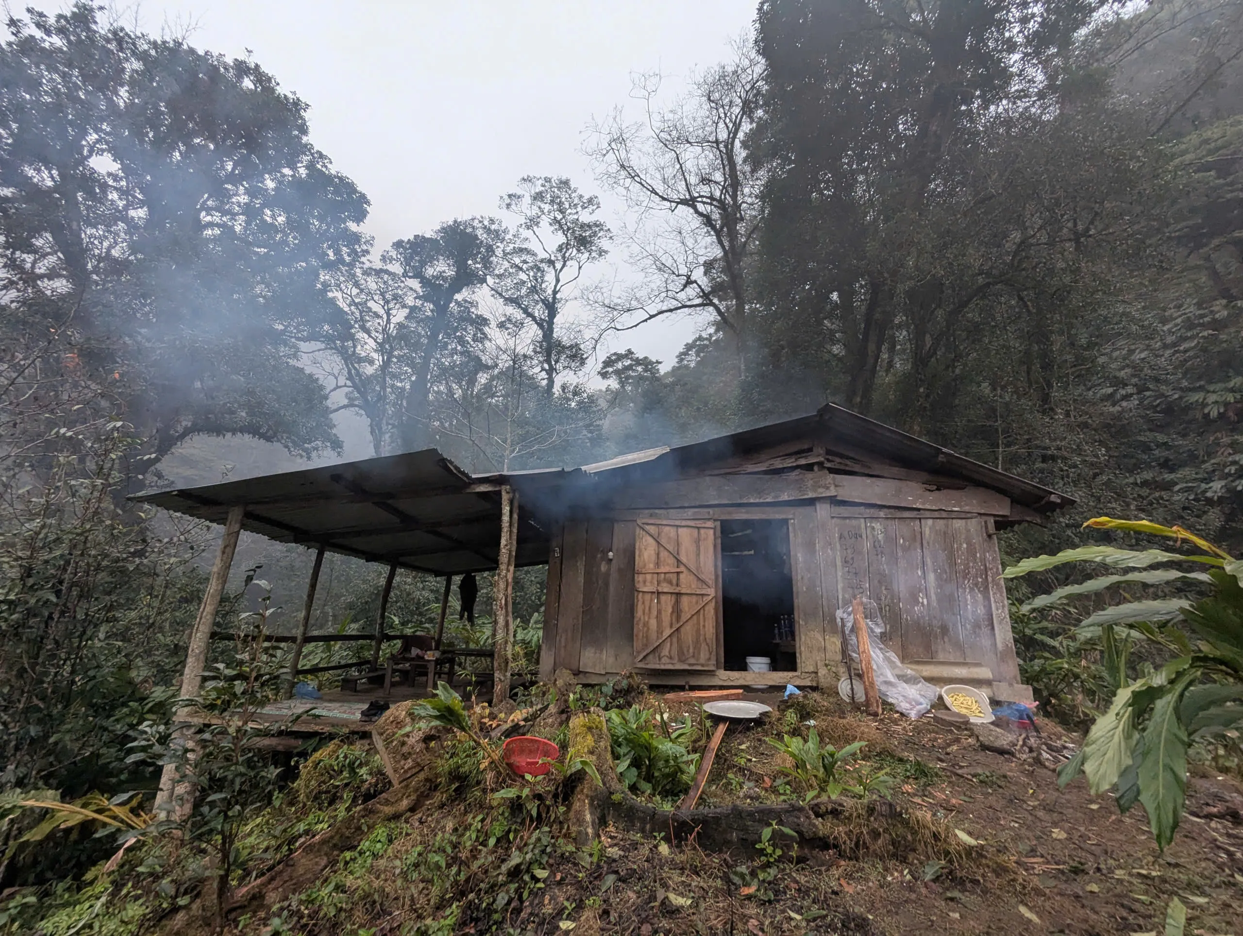
Access, local-house lunch and forest shelter.
After breakfast (~08:30 from the Nam Hong area), expect roughly 2–2.5 hours of vehicle access toward Tung Quan Lin, then about 4 km walking to a local-house lunch and about 3 km to the forest shelter — roughly 7 km walking on Day 1. Lunch is hosted at a local house, not a trail picnic. There is no summit attempt on Day 1.
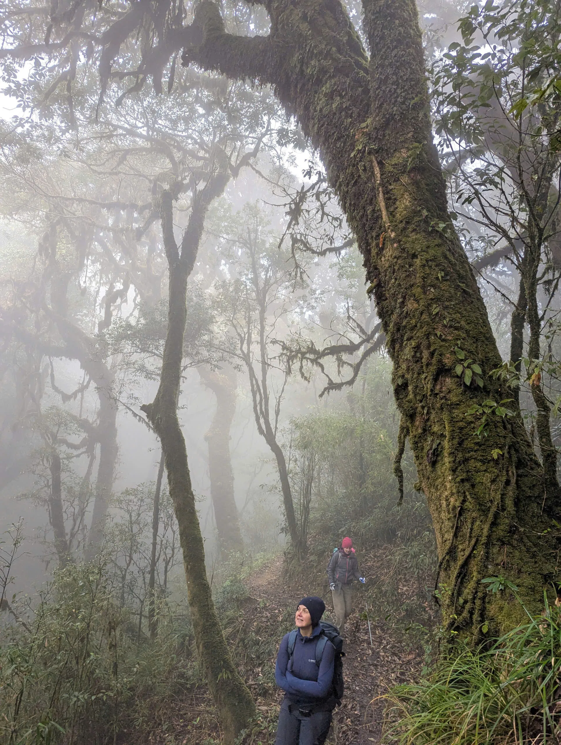
Summit marker, picnic and descent.
From ~1,850 m, the group climbs about 4 km (2–2.5 hours) toward the 2,428 m marker when the guide judges it safe. Picnic lunch on or around the summit area when conditions permit, then about 7 km descent to the same local-house area and motorbike transfer — typical finish ~16:00–17:00.
If summit conditions are unsafe, the guide may abandon the marker and use an alternate line toward Tung San (~6–7 km, mostly descending). The marker is not guaranteed.
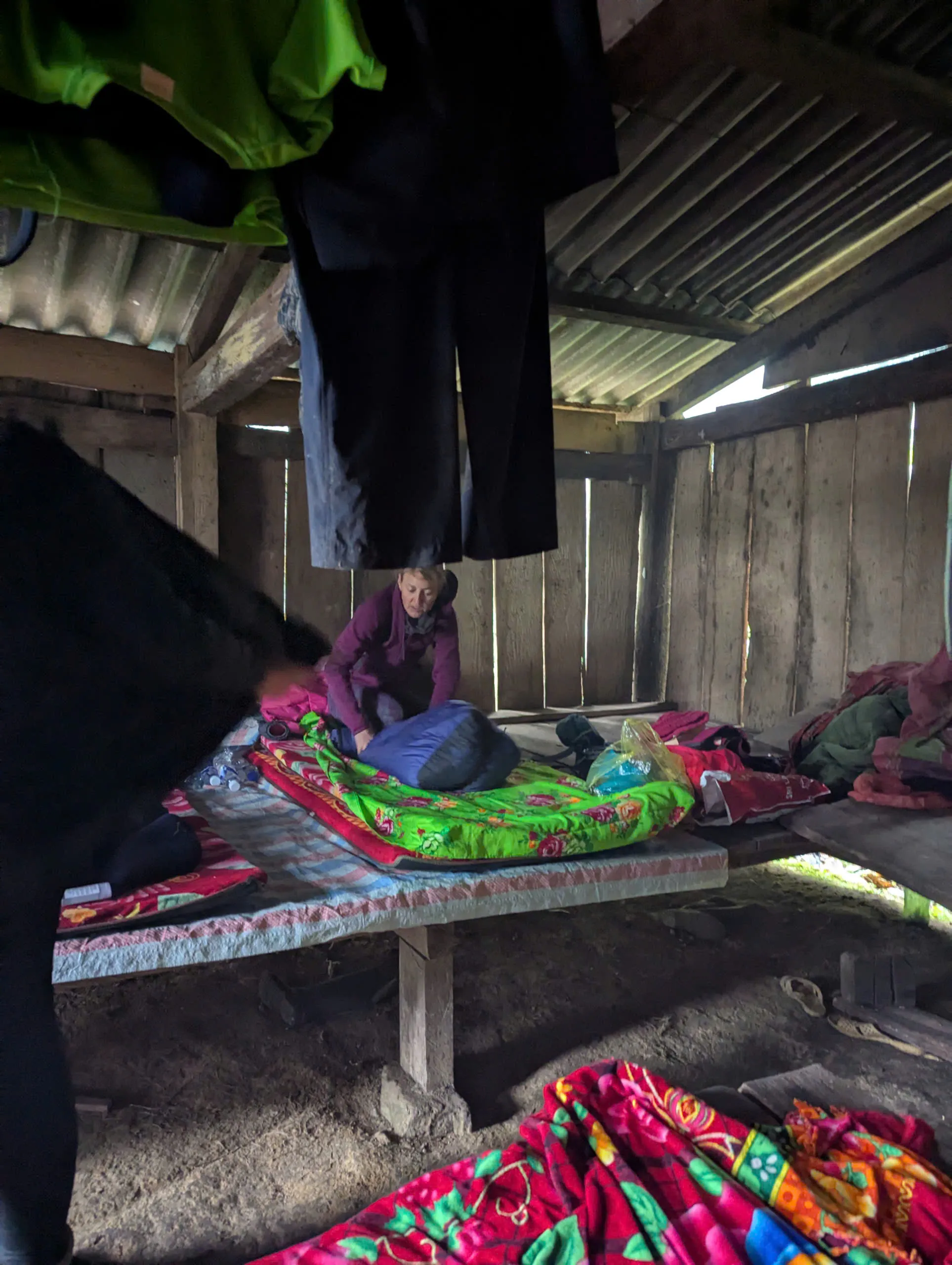
Forest shelter and sleeping setup.
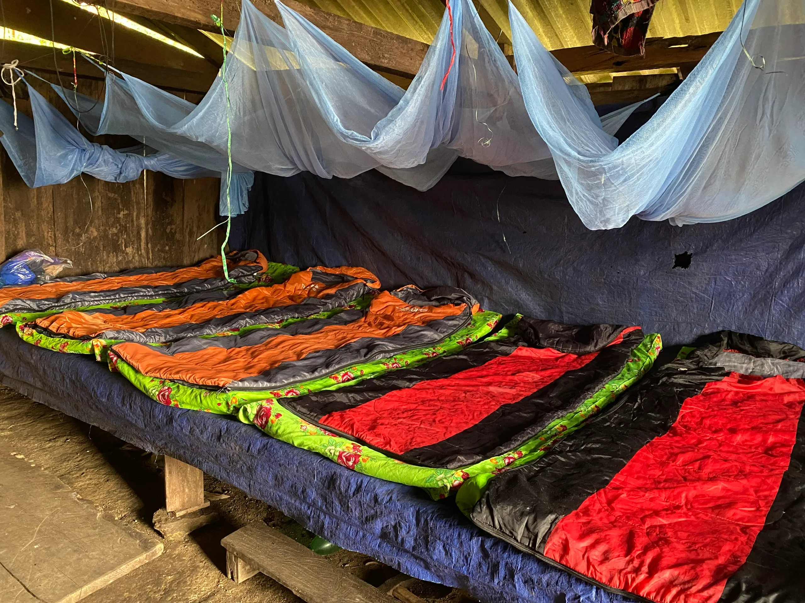
Approximate capacity 15–20 guests. Sleeping platform about 40 cm above ground, thin mats, standard sleeping bags and warm blankets — not a lodge. Very simple tarp-screened toilet; no dedicated shower. Heated water and basic washing can be arranged with privacy tarp.
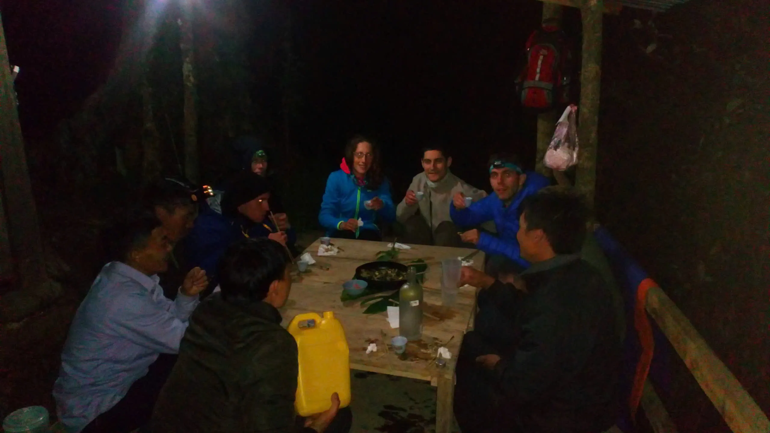
Guests and the local team share a simple evening meal around a wooden table at the shelter.
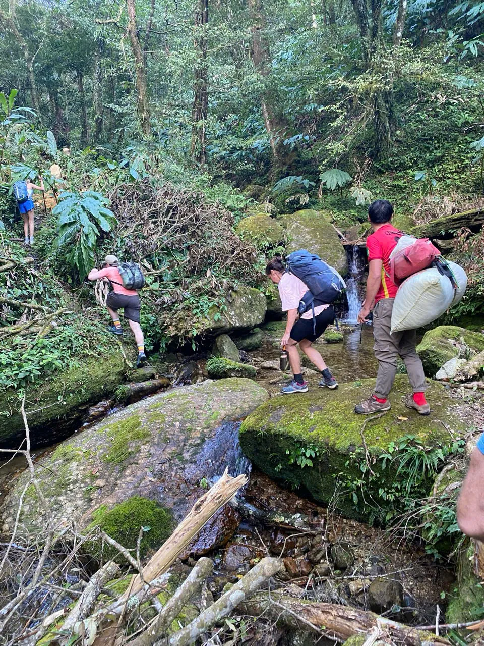
Guides, porters and what you carry.
Staffing scales with group size. A recent four-guest example used two guide / local mountain-guide roles and two porter / support roles (lead mountain guide Mr. Phấu). Porters carry shared group equipment — food, drinking water, sleeping bags, insect-protection / tent gear, cooking supplies and shared overnight kit.
Guests carry personal 2D1N items in a daypack. Local motorbike access / support is arranged as required — we do not publish a separate rider headcount.
Radios, signal and evacuation.
The team carries three handheld radios. The shelter normally has no reliable mobile signal; about 500 m uphill toward the summit direction, Viettel coverage may often be reached — not guaranteed. No satellite communicator is currently carried.
Injury in remote terrain may require assisted travel on foot before reaching road-accessible evacuation — no guaranteed evacuation time.
No verified track published yet.
We do not currently publish a verified GPX track for the Tung San corridor. Local mountain guides lead from direct terrain knowledge. We plan to record and verify the route properly in future rather than publish an unverified file.
Former three-day packaged format.
A former three-day packaged Tay Con Linh summit journey was sold under this URL. That specific multi-day product is no longer the standard bookable format. Current travellers should choose the live 2D1N programme that matches their start geography — Tung San for the marker corridor, or Cao Bo for the southern cloud-forest crossing without the 2,428 m marker.
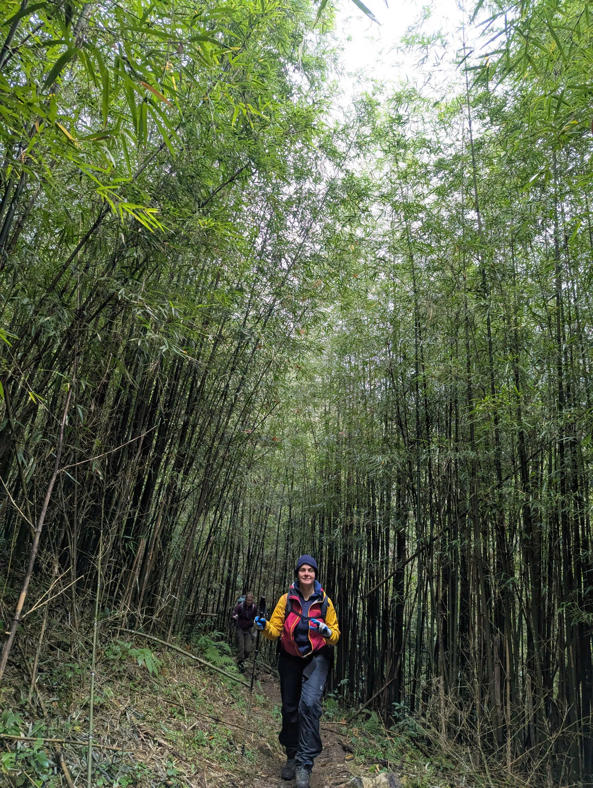
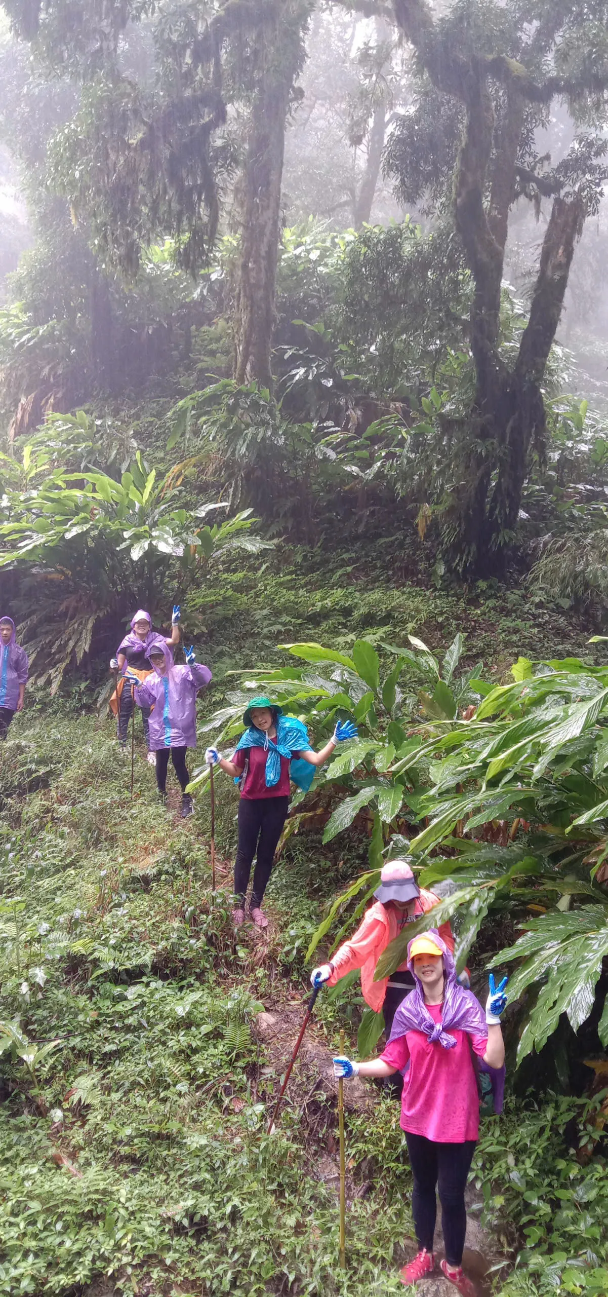
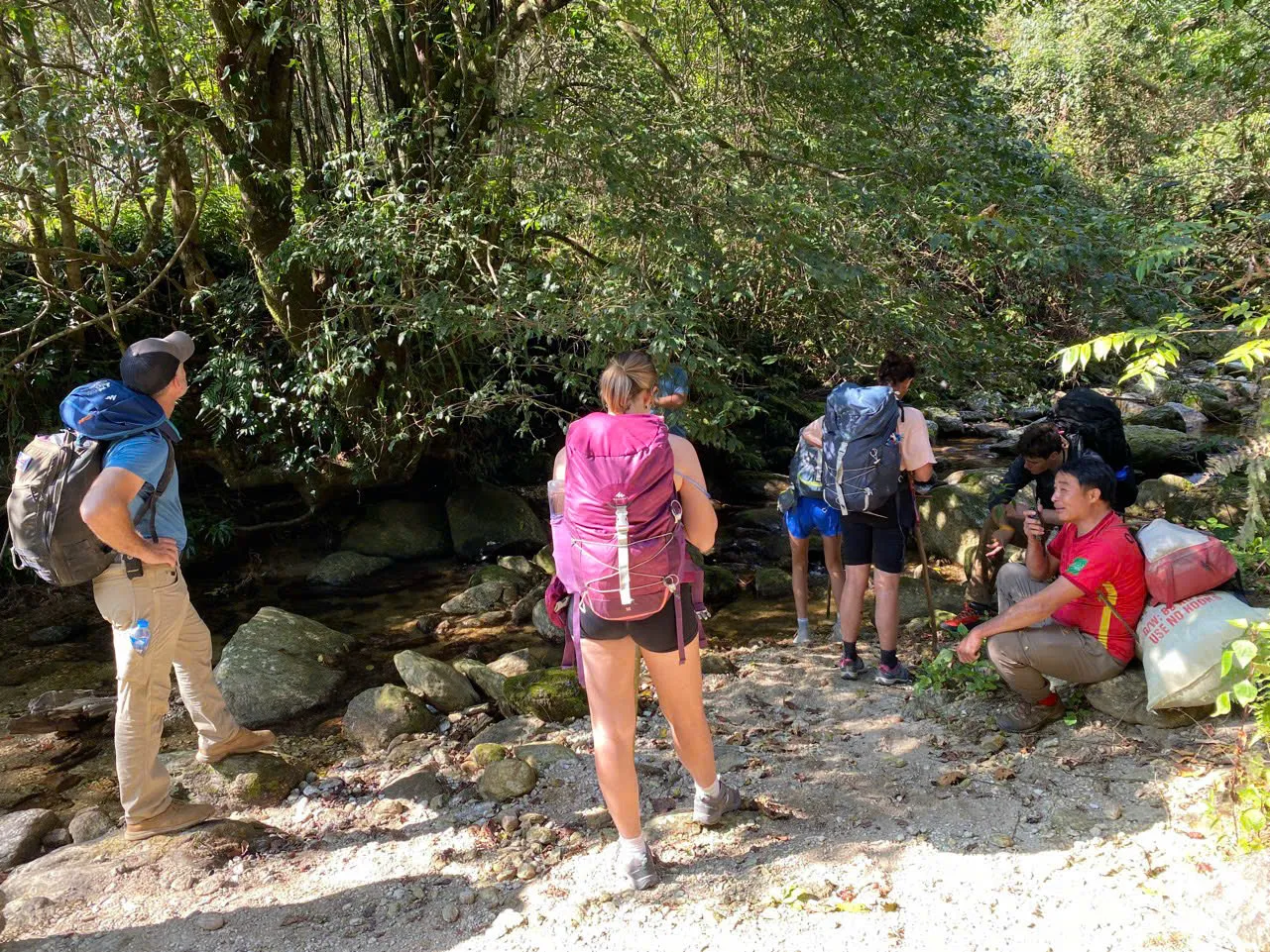
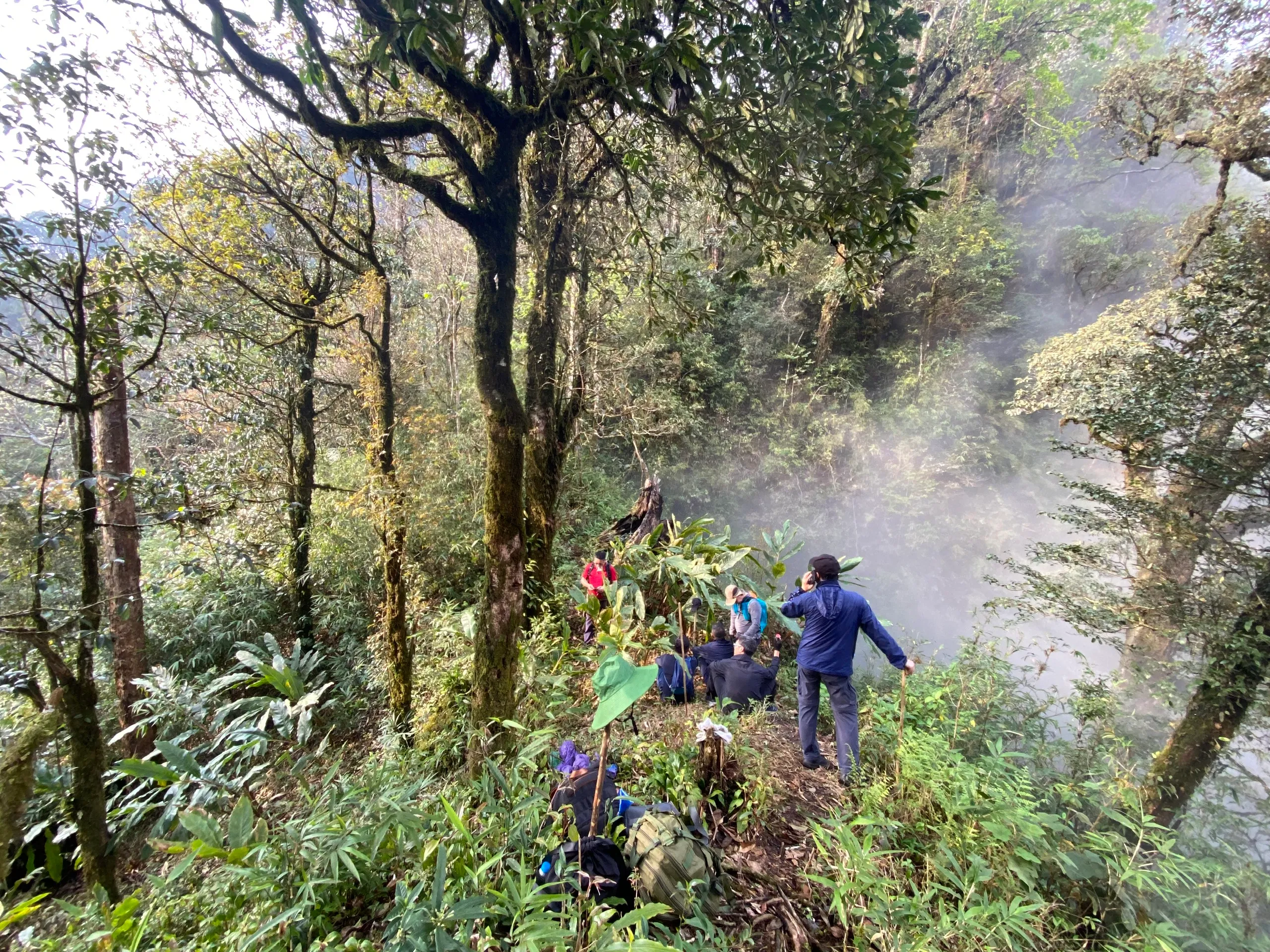
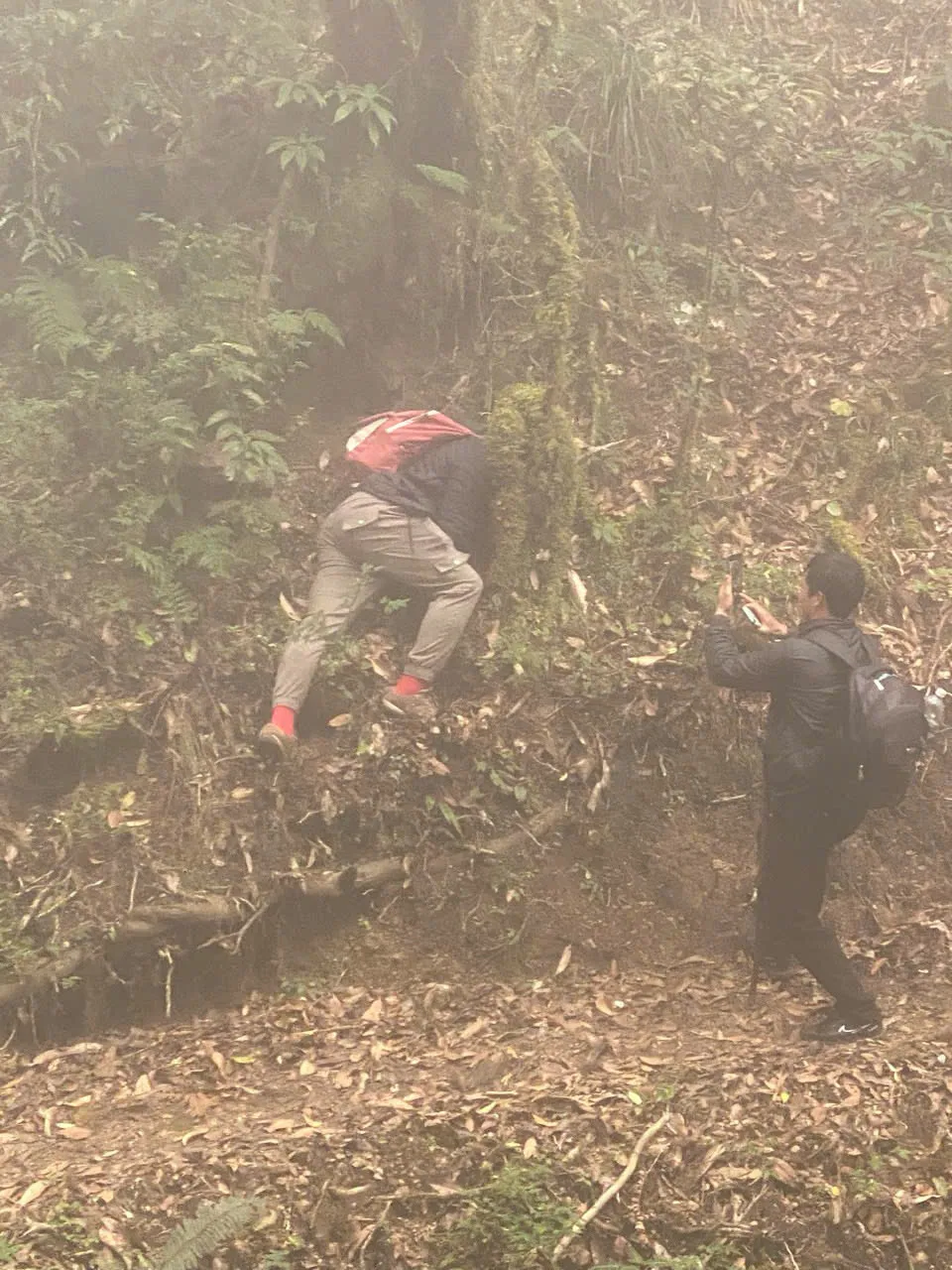
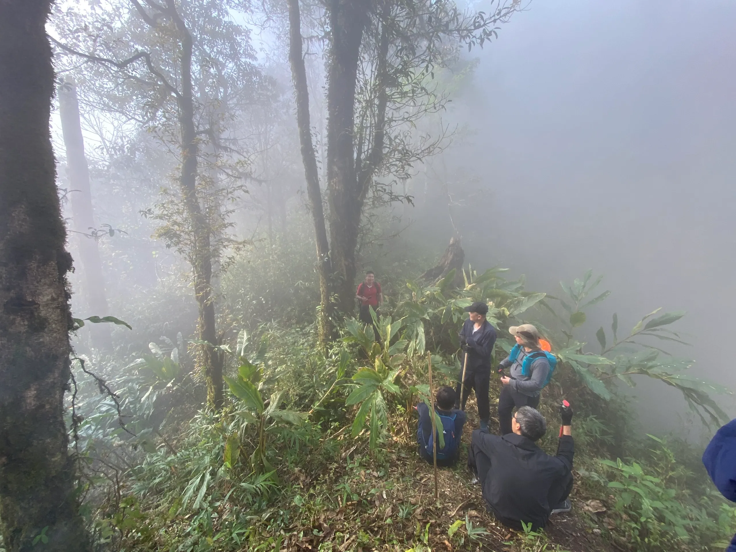
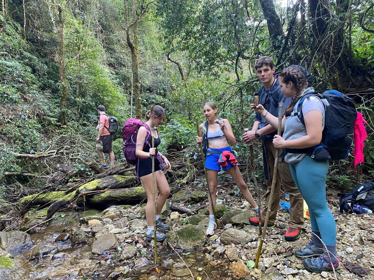
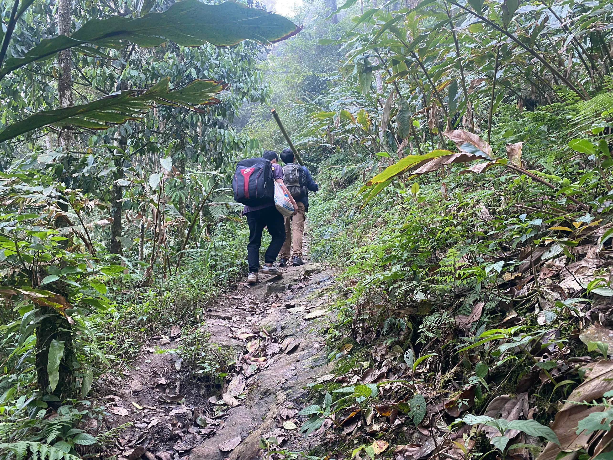
Frames from the route.
Summit trekking — quick answers.
- Can I still trek Tay Con Linh to the 2,428 m marker?
- Yes — through the live Tung San 2D1N programme when the guide judges Day 2 summit conditions safe. The marker is not guaranteed every departure.
- Is this page the bookable product?
- No. This URL explains current summit trekking options and field reality. Book through the live Ridge & Cloud programme pages linked below.
- What happened to the three-day Tay Con Linh summit tour?
- The former three-day packaged format is no longer operated. Current travellers use the appropriate live 2D1N corridor instead.
- Does Cao Bo cloud forest reach the marker?
- No. Cao Bo → Thuong Son is a separate southern corridor with a lower viewpoint — not the 2,428 m marker trek.
- Do you publish GPX?
- We do not currently publish a verified GPX track for the Tung San corridor. Local mountain guides lead from field knowledge.
Moments that define the walk.
- Live Tung San 2D1N — Tung Quan Lin access, shelter Night 1 (~1,850 m), 2,428 m marker Day 2 when safe
- Approximately 18 km walking over two days — operational averages, not GPX
- Separate Cao Bo → Thuong Son 2D1N — cloud forest and lower viewpoint, not the 2,428 m marker
- Tay Con Linh (2,428 m) is a separate mountain from Chieu Lau Thi (2,402 m)
- Former three-day packaged format — historical context only; choose a live 2D1N programme to book
Day by day.
Times and stops are indicative. Pace and arrival are set by the slowest walker, the weather, and the village.
On the live Tung San corridor: after breakfast (~08:30), vehicle access toward Tung Quan Lin (typically 2–2.5 hours), then about 4 km walking to a local-house lunch and about 3 km to a simple forest shelter around 1,850 m — roughly 7 km walking. No summit on Day 1.
Trek statistics.
- Tung San 2D1N
- Live summit corridor
- ~18 km (operational average)
- Walking total
- 2,428 m when safe — not guaranteed
- Summit marker
- Not currently published
- Verified GPX
Local trail guides from the communities on the route, with English-speaking trekking leads on every departure. Guide roles & field notes
Homestay payments go directly to host families — we do not take a margin on meals or overnight stays. Community and forest permit fees are included in programme prices where listed and paid to the communes on your behalf. Extended journey and custom permit requirements vary by route.
Personal accident and trekking insurance is included on published hub programmes — see each programme's includes list. Extended journeys and custom expeditions do not include trekking insurance. Extended journeys list party size on each tour page — commonly 4–10 travellers depending on the route.
No payment on this site. Enquire by WhatsApp; we usually reply within 24 hours with availability, a clear price and what to pack. Licensed Local Operator · Safety Policy
Landscape and season articles sit alongside this journey page — open them for place context, then enquire here for itinerary and dates.
- Tay Con Linh: A Complete Guide for Trekkers
Landscape, seasons and routes around Tay Con Linh.
- Chieu Lau Thi: A Complete Guide for Trekkers
Neighbouring walking country linked to Tay Con Linh.
- Cloud forest route — vs sunrise ridge and cloud-sea trek
Day-by-day walking detail and pacing for Tay Con Linh.
- Ridge & Cloud — compare summit programmes
Compare difficulty, seasons and walking style before you enquire.