Summit approach and mountain safety on Chieu Lau Thi
The final push to 2,402 m, exposure on the crest, and the safety calls guides make before dawn.
The summit at 2,402 m.
Chieu Lau Thi tops out at 2,402 m — the highest ground we reach on both the two-day cloud-sea programme and the one-day sunrise ridge.
On the two-day walk, the pre-dawn push from the lodge is twenty to thirty minutes on a narrow path. On the one-day route, you climb the full ascent in daylight from the Ta Su Choong trailhead after a morning transfer from town.
Eastern drops are real. Guides position the group on marked standing lines rather than the windiest summit knob. Maximum group size is six on both programmes.
- Chieu Lau Thi — cloud sea (2 days)
Two-day walk from Ta Su Choong with lodge night at Chieu Lau Thi 2402m Lodge and pre-dawn summit at 2,402 m.
- Chieu Lau Thi — sunrise ridge (1 day)
Single demanding day — morning departure after breakfast, daylight ascent to the ridge, back in town by late afternoon.
- Ridge & Cloud programmes
Compare routes, difficulty and seasons at this collection hub.
Lodge to summit.
The pre-dawn walk from lodge to ridge is twenty to thirty minutes — not the full Day 1 climb. You leave with headlamp, insulated layer and camera; breakfast stays in the pack until the group descends to a safe flat after sunrise.
The path crosses wind-exposed bamboo before the spine opens — gloves on before you leave the lodge, not at the ridge. If cloud is below you, the world shrinks to ten metres of beam; stay on the guide's heel and do not pass.
At the summit, the group spreads along marked standing lines rather than clustering on the highest knob — that knob is often the windiest point with no better view than two metres lower. On windy mornings the group may sit below the true spine until gusts ease.
Mountain safety.
Guides carry first aid. If we turn around, descent toward vehicle access is the usual option. Lightning closes the summit push in active storms. Ice on stone steps is possible in January — poles and careful footing required.
Stay on the marked path above 2,000 m. Pack out all waste. At the lodge, respect quiet hours and shared spaces in dorm rooms; guides brief guests on room layout and pre-dawn timing. We cancel departures when typhoon tracks threaten the massif.
When guides close the push.
The go/no-go for the summit push happens twice on the two-day route — at dinner when hamlet contacts report valley wind, and again at 04:00 when your guide steps outside the lodge. On the one-day route, we check regional weather and hamlet reports the evening before; storms cancel the entire departure, not just the summit attempt.
Lightning within the massif closes the push. Open ridge and lightning do not mix. Programme cancelled if lightning is visible on the massif before the trailhead briefing on the one-day route.
Light drizzle may still mean a summit attempt — low cloud can burn off as the valley warms. If summit is a no-go on the two-day route, descent starts in daylight after an early breakfast.
Stone steps and ice.
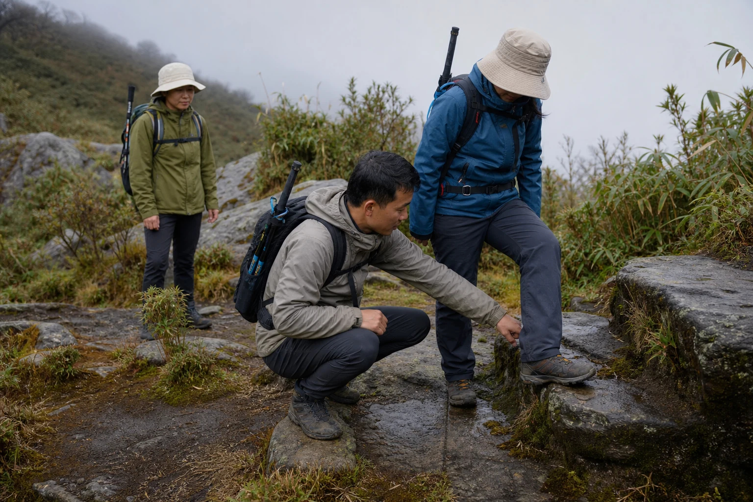
Stone-cut steps on the upper ascent stay icy until 08:00 in January — guides set a slower pace on the first hour of the one-day route. The path is marked but uneven — roots, stone steps and mud after rain.
Trekking poles are strongly recommended on both routes. We can lend a pair if you ask when you enquire. Trail surface stays slippery for forty-eight hours after rain.
Stay within sight of your guide on the ascent — footing varies on roots, mud and stone. Turning back before the summit is always an option if kit or conditions are inadequate.
Altitude and hydration.
Drink steadily on Day 1 and dress for cold at the lodge — fatigue at altitude often starts as thirst, so hydrate well before the climb.
Tell us at booking about any relevant health conditions, knee or back concerns, and check with your own doctor beforehand if you are unsure whether the climb is right for you. Personal accident and trekking insurance is included on both programmes.
Warmth, pace and hydration are the practical day-to-day concerns. Expect cold inside the lodge in winter months — thermals and full warm layers are essential.
Safety on the sunrise ridge.
Stay within sight of your guide on the ascent. Guides know the descent route toward vehicle access; timing depends on conditions and where you are on the route. A guest in inadequate kit at the trailhead briefing will be sent down, not pushed up.
Drone use near border-facing ridges requires guide clearance — ask before launch. We cancel when storm or lightning risk is present.
Door to door on the one-day route is roughly fourteen hours. Plan a quiet evening after return — driving unfamiliar mountain roads tired is a bad idea.
On the two-day route, the same safety rules apply on the twenty- to thirty-minute pre-dawn walk from the lodge — gloves on before leaving the lodge, stay on the guide's heel in cloud, spread along standing lines at the crest rather than clustering on the windiest knob.
- Chieu Lau Thi — sunrise ridge (1 day)
Single demanding day — morning departure after breakfast, daylight ascent to the ridge, back in town by late afternoon.
Signal on trail vs at lodge.
Do not assume phone signal on the trail or summit. Usable phone signal and internet are available at Chieu Lau Thi 2402m Lodge on the two-day route — not a substitute for coverage above tree line. There is no landing zone on the spine — turning back means walking down first.
Guides from Dao and Nung communes know the descent paths toward vehicle access. First aid is carried on every departure.
Community fees from your booking support hamlet funds and lodge upkeep. Forest entry fees and permits are included in the programme price. Personal accident and trekking insurance is included on both programmes — tell us at booking about prescription medication and dietary needs.
Wind, drops and standing lines.
The ridge is narrow enough to see both sides — cloud-filled valleys east toward China, and on clear mornings the terrace country of Hoang Su Phi west below Tay Con Linh. Eastern drops are real. Your guide positions the group on safe standing lines before light and spreads the group along the crest rather than clustering on the highest knob.
On windy mornings the group may sit below the true spine until gusts ease — five minutes of patience beats a dangerous stand on the crest. If cloud is below you on the pre-dawn walk from the lodge, the world shrinks to ten metres of beam; stay on the guide's heel and do not pass.
Drone use near border-facing ridges requires guide clearance — ask before launch. Stay within sight of your guide on any headlamp section. Open ridge and lightning do not mix; we cancel when storm risk is present on either programme.
Overnight at the lodge.
Expect cold inside the lodge in winter months — thermals and full warm layers are essential even with beds and blankets provided. Guides brief guests on room layout, bathroom facilities and pre-dawn timing. A headlamp on red mode when moving around before dawn preserves others' night vision in dorm rooms.
Usable phone signal and internet are available at Chieu Lau Thi 2402m Lodge — do not treat this as hotel Wi-Fi speed or assume coverage on the trail or summit. Turning back from above 2,000 m means descent first — there is no helicopter landing zone on the spine.
We cancel departures when typhoon tracks threaten the massif. Ice on stone steps is possible in January — poles and careful footing required on both the two-day pre-dawn push and the one-day daylight ascent. Typhoon tracks are monitored from Hoang Su Phi town the evening before every departure; a cancelled day is safer than a forced summit in building storm.
Common questions.
Is the pre-dawn ascent safe?
The guide sets the pace according to current trail and weather conditions, and the mountain section may be shortened or the departure cancelled if storm or lightning risk makes continuing inappropriate. Stay single file behind your guide in darkness.
What if I cannot reach the summit?
Turning back is always an option. On the two-day route, descent starts in daylight after an early breakfast if weather closes the ridge.
Is altitude sickness a risk?
Warmth, pace and steady hydration are the practical concerns at 2,402 m. Drink steadily on Day 1, and tell us about any relevant health conditions when you book so we can plan accordingly.
Are trekking poles necessary?
Strongly recommended, especially in January when stone steps stay icy until 08:00. Available on request for the one-day route.
Plan with context.
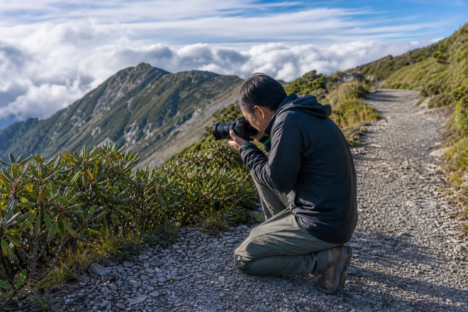
Preparing for a two-day mountain trek covers kit and pacing. Walking safely in darkness covers the short pre-dawn walk from the lodge. Photography on the ridge explains safe standing lines at dawn.
Read the Hoang Su Phi and Ridge & Cloud hubs for route comparison across the district.
Summit approach and mountain safety on Chieu Lau Thi is the companion piece for this article — read both before your first Chieu Lau Thi departure. Guides from Dao and Nung communes maintain the marked path above 2,000 m; stay on it and pack out all waste.
- Lodge life on Chieu Lau Thi
Evening at Chieu Lau Thi 2402m Lodge and what the mountain overnight feels like.
- Preparing for a two-day mountain trek
Day-by-day rhythm, kit and pacing for the lodge night.
- Photography on the Chieu Lau Thi ridge
Exposure, batteries and safe standing lines at dawn.
- Which Chieu Lau Thi programme to book: one day or two
Schedule, overnight rhythm and fitness — the calendar decision.
- Morning start on Chieu Lau Thi sunrise ridge
Chieu Lau Thi (2,402 m) — historical slug; not Tay Con Linh.
- Sunrise photography on Chieu Lau Thi
First light on the 2,402 m crest — not the 2,428 m Tay Con Linh marker.
- Walking safely in darkness
Summit safety on the one-day ridge and the short pre-dawn walk from the two-day lodge.
- Descent from the Chieu Lau Thi sunrise ridge
Cardamom forest, ridge breakfast and recovery pacing.
- Chieu Lau Thi ridge: access, timing and summit light
Ridge conditions from each approach — pre-dawn timing, crest wait and descent.
- Hoang Su Phi programmes
Compare routes, difficulty and seasons at this collection hub.
- Ridge & Cloud programmes
Compare routes, difficulty and seasons at this collection hub.
Published by Ha Giang Trekking — field knowledge from local trail guides on the routes described, checked against programme schedules and operating notes.
Journal pages are for route research and planning. Dates, prices, day-by-day schedules and enquiry sit on programme and tour pages.
Articles are published under Ha Giang Trekking. Named writer and guide bylines will be added when verified bios and consent are on file.
Operational details on programme and tour pages are published only after being checked against current operating information.
Compare published routes and open the programme or journey page when you are ready to enquire.
- Ridge & Cloud — compare summit programmes
Compare difficulty, seasons and walking style before you enquire.
- Chieu Lau Thi — cloud sea (2 days)
Chieu Lau Thi — cloud sea (2 days) — dates, pricing and enquiry.
- Chieu Lau Thi — sunrise ridge (1 day)
Chieu Lau Thi — sunrise ridge (1 day) — dates, pricing and enquiry.
- Kieu Lieu Ti three-day traverse
Trekking operations on this route are currently unavailable, and we are not accepting bookings for it at present.
Trekking operations on this route are currently unavailable, and we are not accepting bookings for it at present.
- Chieu Lau Thi: A Complete Guide for Trekkers
Main walking guide for Chieu Lau Thi.
- Hoang Su Phi Rice Terraces: A Complete Guide for Trekkers
Landscape, seasons and routes around Hoang Su Phi.
- Tay Con Linh: A Complete Guide for Trekkers
Neighbouring walking country linked to Chieu Lau Thi.
Ready to walk with local guides?
Dates, pricing and the day-by-day itinerary are on the programme page. Enquire about a departure when you are ready — we usually reply within 24 hours with availability, a clear price and what to pack.
Chieu Lau Thi — cloud sea (2 days) — dates, pricing and itinerary