What a 7-Day Ha Giang West-to-East Trek Really Looks Like
See what a real 7-day West-to-East Ha Giang trek looks like on foot, from Hoang Su Phi terraces to Dong Van, Ma Pi Leng and Meo Vac.
A private week from the terraces to the limestone.
This account follows a private departure from 16 to 22 October 2026. The week crossed Ha Giang from the terraced west to the limestone east, and most of the distance was walked.
The shape of it was simple. The first day was the road from Hanoi through Tan Quang into the Nam Hong area. Then two full walking days in western terrace country, a long support-vehicle day onto the plateau, two walking days through the Dong Van and Meo Vac country, and a shorter final morning at White Cliff before the private transfer toward Cao Bang.
What follows is what that kind of week feels like on the ground: the trails, the kilometres, the vehicle, the rooms, the meals, and the guide. The published day-by-day, dates and inclusions stay on the journey page. This is not a second copy of that page.
Why west-to-east Ha Giang is a different walk.
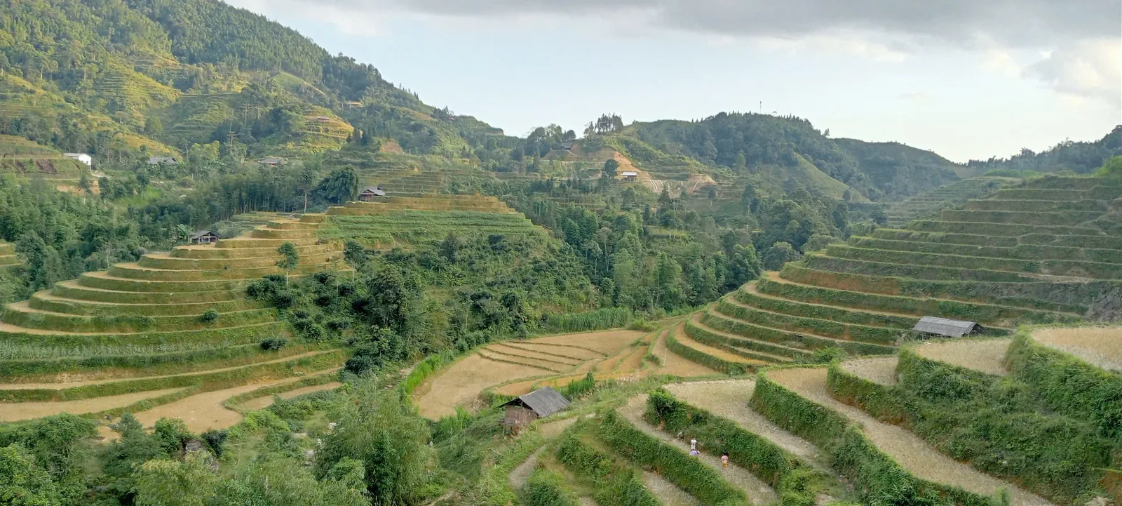
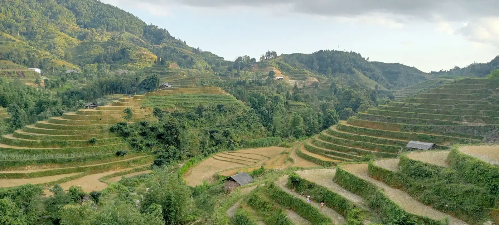
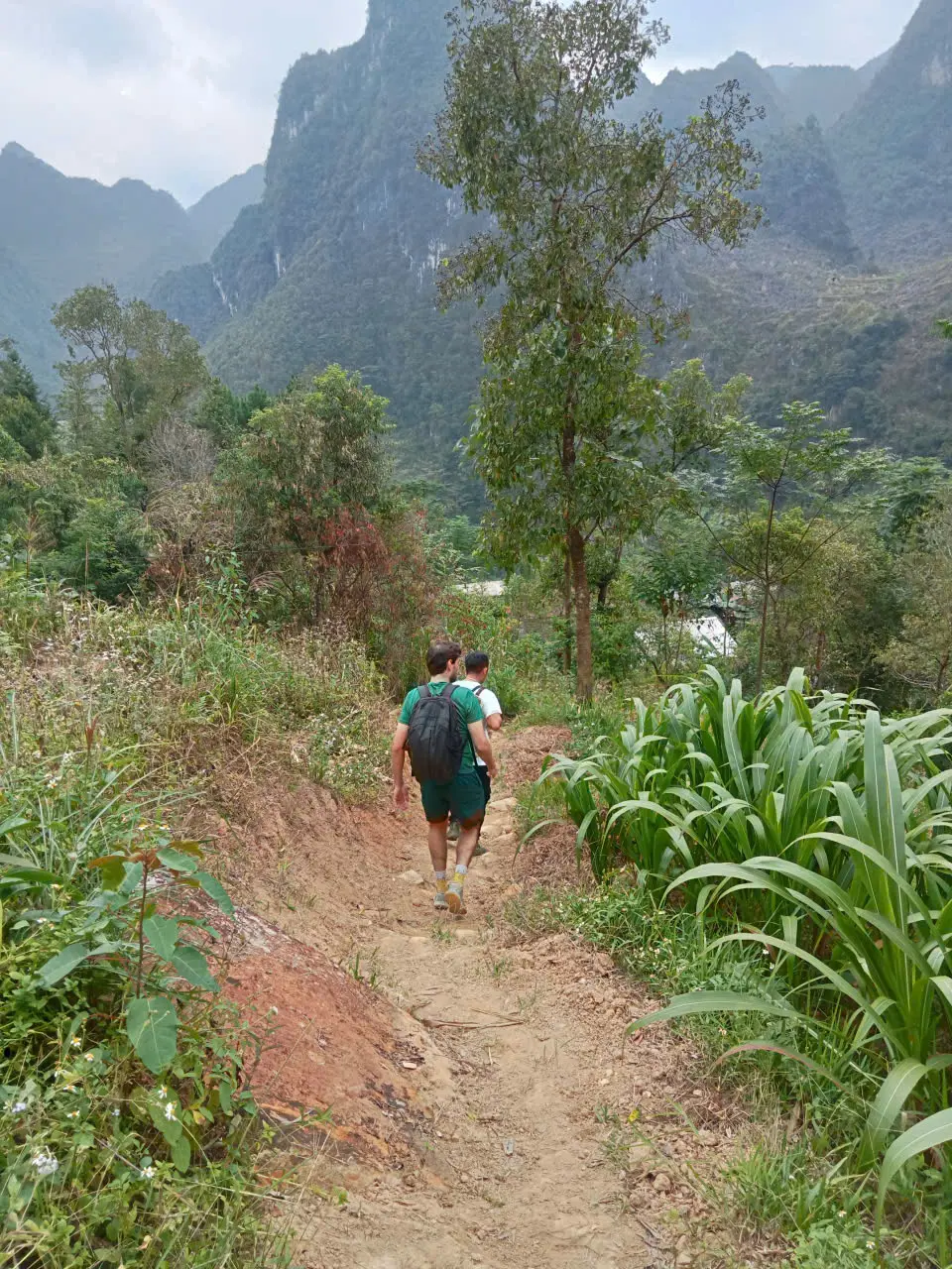
Western Ha Giang, on this departure, was cultivated mountain country. Rice terraces step down the slopes. Forest closes over some of the tracks. Paths run along terrace edges, through villages, and past the agricultural work of Red Dao country around Nam Hong. The ground is green, often soft underfoot, and repeatedly broken by a climb or a drop into the next valley.
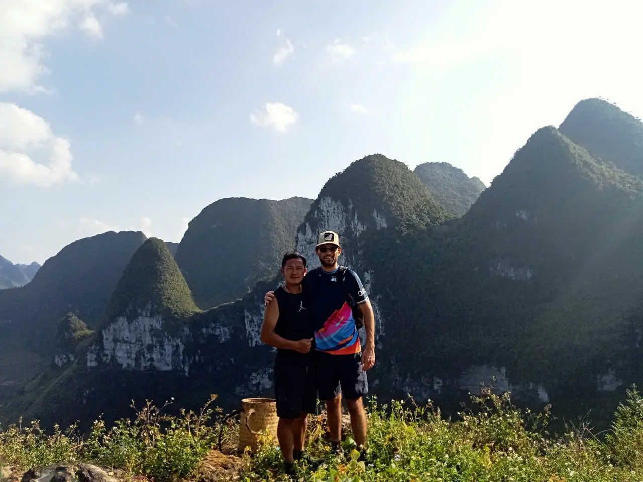
Eastern Ha Giang is a different mountain. Limestone replaces the paddies. Paths run on rock, on dirt through scrub, and on narrow cultivated shelves above deep valleys. Corn and small fields sit where soil has collected. The views are open, and the walking is more exposed.
Doing both in one direction is the point of the week. A terrace trek and a karst trek are each coherent on their own. Walking out of one and into the other shows how sharply Ha Giang changes, which a single district cannot.
ROUTE REALITY
- Hoang Su Phi and Dong Van, compared
How the two regions differ before you choose a route.
Terraces, forest and village paths.
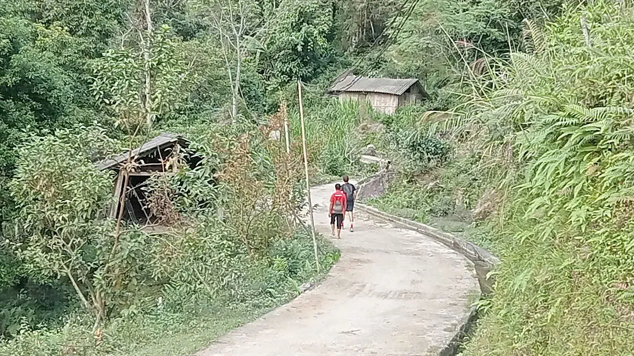
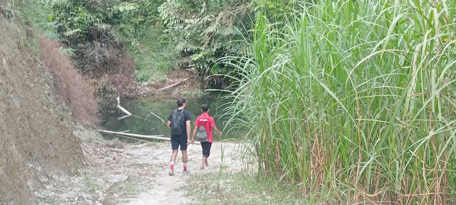
The western walking sat on 17 and 18 October. The first was a full day out of Nam Hong, about 15–18 km, through terraces, forest, a waterfall section and village or farm trails. The second was a point-to-point day of about 15–17 km from the Nam Hong area to Nam Ai: terraces, forest, dirt, stone and village paths.
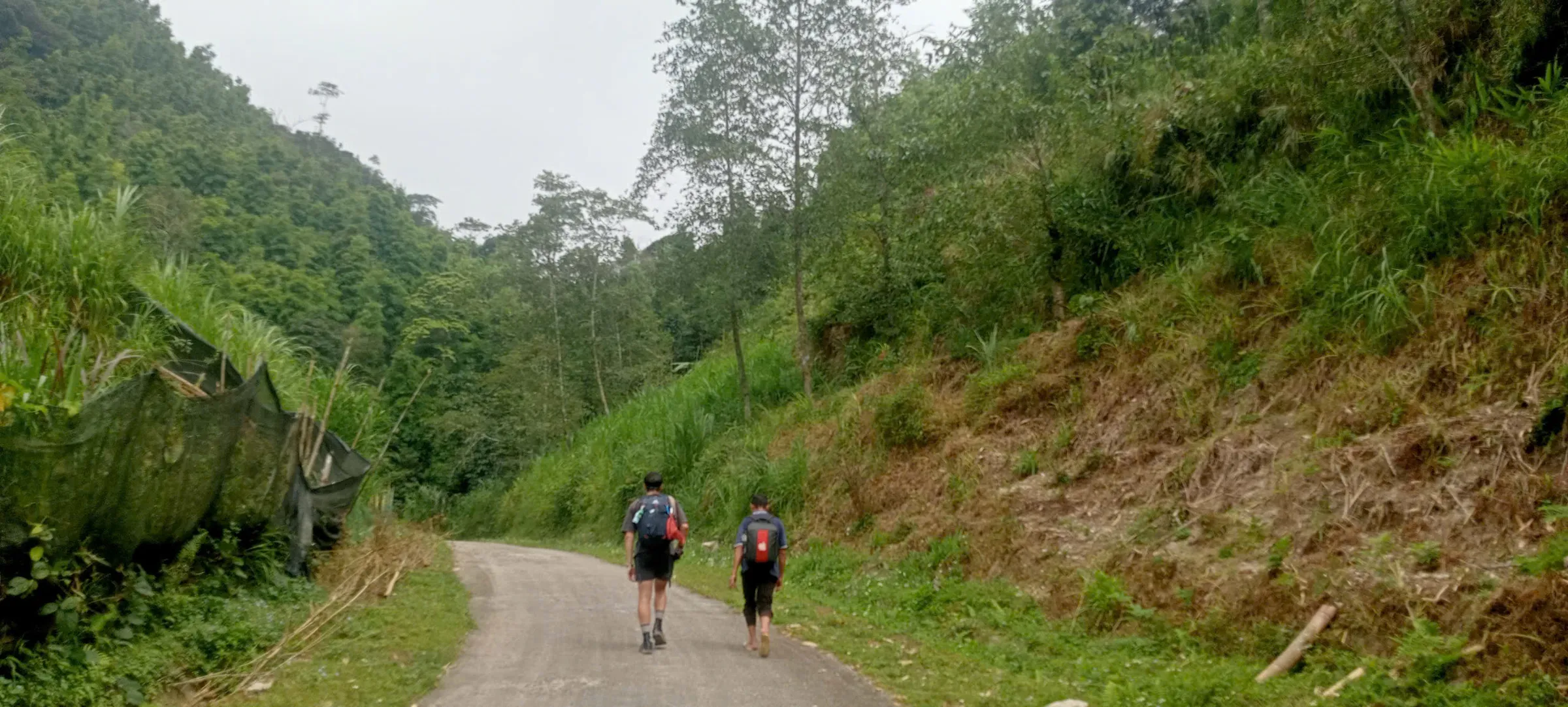
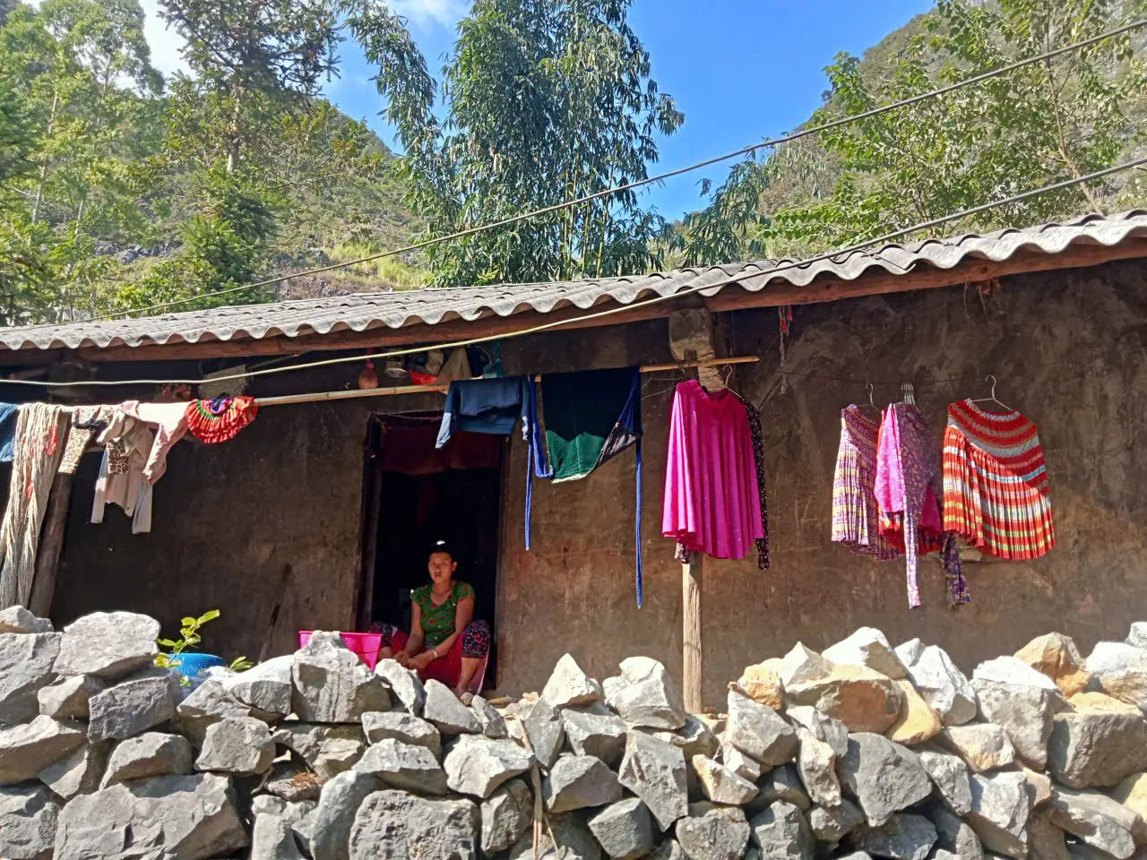
Neither day is a single surface. You walk the lip of a terrace, drop onto a dirt track, enter trees, come out onto stone, then use a village lane to reach the next footpath. Climbs and descents repeat. The photographs here are from that western section. They show the character of the walking. They are not each pinned to a named hamlet.
Lunch on these days is a picnic, because the line of the trail is not the line of the restaurants. The main bag stays with the support vehicle. What you carry is a daypack: water, a layer, and whatever you need between breakfast and the evening house.
FIELD NOTE
- Hoang Su Phi programmes
Compare routes, difficulty and seasons at this collection hub.
What 15–20 km actually means here.
A 15 km day in Ha Giang is not 15 km on a flat path. The figure is the walking line. On this departure the long days sat between about 15 and 20 km, and they filled the day.
The same kilometre can be a terrace wall, uneven stone, mud after rain, a concrete lane through a village, or an agricultural path made for farming rather than a steady hiking pace. Descents and climbs come often enough that the legs notice them before the watch does. Cloud, rain and heat change the pace. So do ordinary stops: a junction, a house, a picnic, a slippery section that needs care.
Plan for a full day on your feet, with an early start and a finish in the afternoon or early evening, depending on the trail and the weather that morning. We do not publish an elevation-gain number for this departure. It was not measured, and a guessed figure would be less useful than the terrain itself.
- Why a walking kilometre is not a road kilometre
How trail distance, vehicle distance and map distance get mixed up.
Why the support vehicle belongs on a hiking trip.
This is a hiking journey. The vehicle is not a sightseeing loop with short walks attached. It carries the main luggage, and it joins places that do not connect on foot in a sensible day. That is what lets the walking stay on the better paths instead of on the road.
The clearest use on this departure was 19 October. After the Nam Ai night, a long private transfer ran toward Lo Lo Chai. It was a recovery day, and it was the passage from western terrace country to the eastern limestone plateau. The two regions are not a single trail. The vehicle is how the week crosses that gap without turning the crossing into a road march.
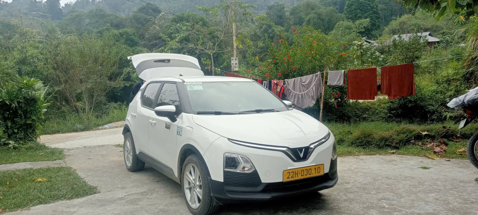
The same vehicle is also the safety and logistics link: water and the picnic at the right point, a way off the hill if the weather or a person needs it, and a known meeting place at the end of a day. The photograph shows the private support vehicle used on this departure. It shows that support on the route; the photograph was not necessarily taken on the Nam Ai road itself.
TRANSFER REALITY
- What happens to the main bag
Why the daypack is enough on the walking days.
Crossing into the limestone.
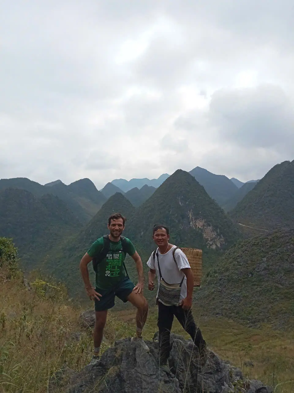
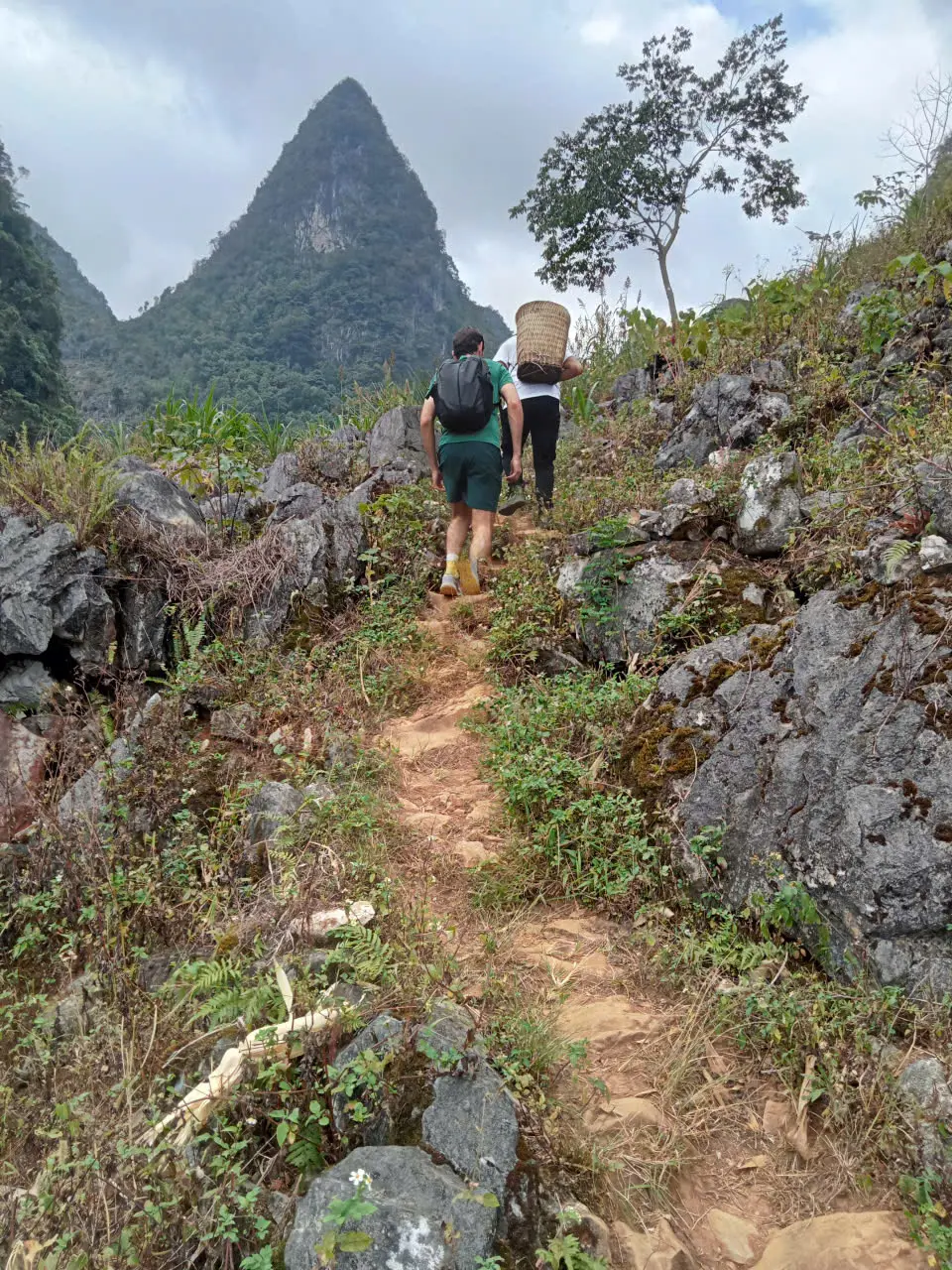
After Lo Lo Chai, the week is on the plateau. The 20 October walking day ran from the Lo Lo Chai side through Khia Lia, Thai Phin Tung and Ha De toward Dong Van, about 15–18 km. Hoang Su Phi had been terraces and forest. This day is rock, dirt, and narrow cultivated ground between limestone walls.
The change is visual and physical. Shade is less reliable. The path is harder underfoot. Valleys open suddenly, then close again behind a ridge. Some connectors are concrete village paths. Some are dirt through scrub. Some are stone. The frames below are from that eastern walking. They describe the terrain. They do not each name a hamlet.
ROUTE REALITY
- The Dong Van karst plateau
The eastern mountain this part of the week walks through.
Dong Van to Meo Vac at walking pace.
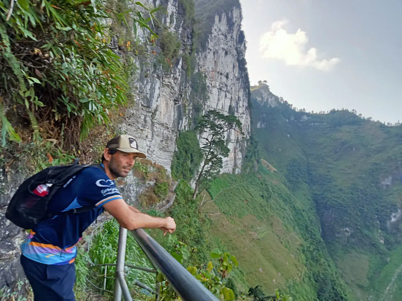
21 October was the long eastern day, about 15–20 km, from the Dong Van area toward Meo Vac. The line of the route runs through Ta Lung, Pai Lung and Cay Doi, then the Sky Path, a stop at the place signed Panorama, and on to Meo Vac. It moves through the Ma Pi Leng mountain landscape. That is the geography of the day, not a caption for every frame.
Only one photograph here is tied to a named stop: the roadside building whose sign reads Panorama. The other frames are the path itself — an exposed section, a narrow line against the cliff — without a viewpoint label. The opening photograph of this article is the same day: a footpath between limestone peaks.
A motorbike loop can pass this country in a series of road stops. Walking it takes hours. You feel the exposure, the repeated short climbs, and the time between one hamlet and the next. The support vehicle is still there for the bag and the logistics. The day itself is spent on foot.
- Meo Vac on foot
The eastern town this walking day finishes in.
- Ha Giang without a motorbike
What changes when the journey is walked rather than ridden.
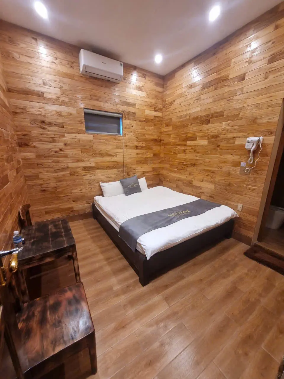
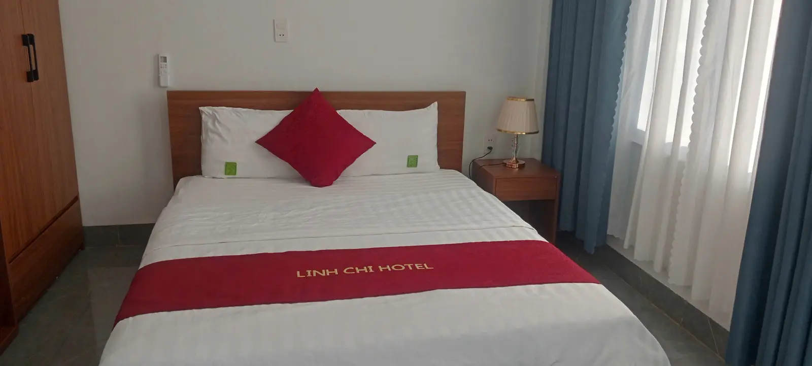
What the rooms looked like on this departure.
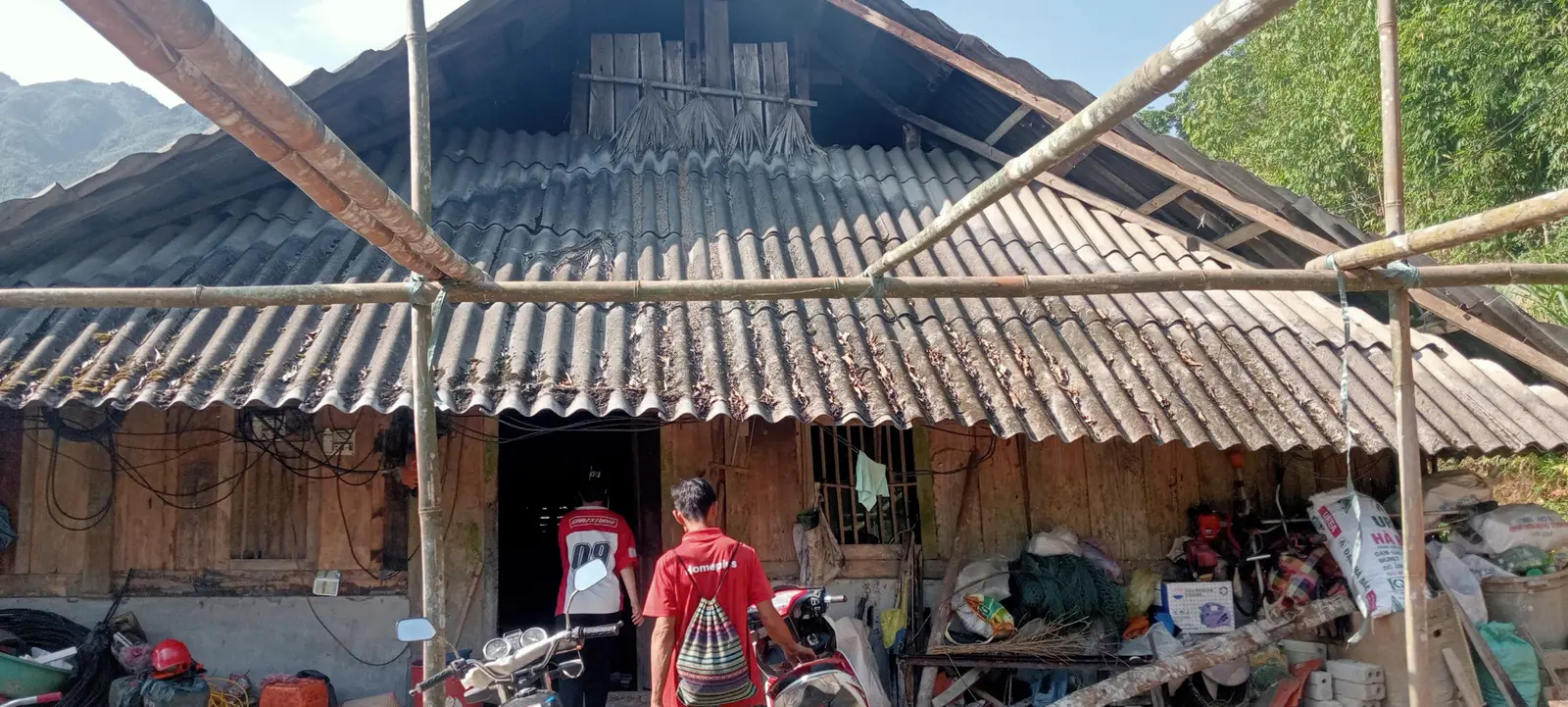
Western nights on this departure were simple mountain homestays: a wooden room, a bed, local standards. Eastern nights, around Dong Van and Meo Vac, were a hotel or guesthouse room in town. The two photographs are examples from October 2026. They are not a promise that a later departure sleeps in these exact rooms.
On the nights we used, there was electricity, a hot-water shower, and a place to charge. Private rooms were available in the houses and guesthouses on this departure. Treat that as what this week looked like. Hot water, the room layout and the standard of the house vary by village and by season. If a particular room type matters, ask before you book. Do not read these frames as a guarantee.
ACCOMMODATION
ACCOMMODATION
- Homestay trekking in Ha Giang
What overnight village stays are like, and who they suit.
Breakfast, dinner and a picnic lunch.
Breakfast and dinner are at the overnight: the homestay in the west, the guesthouse or hotel once the route is in Dong Van and Meo Vac. The photograph is one shared meal from this departure, at a table. It is an example. The dishes change with the house and the day.
Lunch on the remote walking days is a picnic. The trail does not follow road-accessible restaurants, so the meal has to travel with the group and be eaten where the path allows a stop. That is why the support vehicle and the morning packing matter. A picnic keeps the day on the footpath instead of diverting to a town at midday. What is in the box is ordinary local food, not a fixed menu, and it is not something we can promise plate by plate.
MEAL FROM THE TRAIL
What the guide actually does.
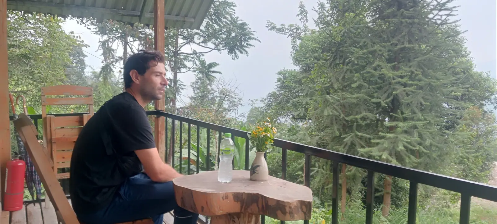
On a private departure the guide walks with you. The work is practical. Route finding on paths that braid through farms and hamlets. A pace that still finishes the day. Reading weather and the state of the trail — mud, wet stone, a section that should be walked more slowly.
The guide also keeps the support vehicle in the right place: where the picnic is handed over, where the bag is collected, and where the day ends if the plan has to shorten. Overnight arrangements and local conversation sit with the guide as well. Safety decisions are part of the same job. If a section is too slippery, or someone is finished earlier than the map suggested, the day changes. None of that is dramatic. It is how a long walking day in this terrain stays orderly.
The terrace photograph earlier in this article shows two people on a western path during those walking days. It is not a portrait with names attached, and it is not a claim about who anyone in the frame is beyond that.
Who this journey is for.
It suits someone who is reasonably fit, likes a full day of walking, and is comfortable sleeping in local homestays as well as a simple town room. The interest has to be the mountain itself: remote trails, a change of landscape, and time on foot. It suits travellers who would rather hike this country than ride the usual motorbike loop, and who accept that the path will be uneven, sometimes muddy, and sometimes a concrete village lane.
It is a poor fit if you want the motorbike circuit, a hotel standard every night, or a day made of short viewpoint stops. It is also a poor fit if long days on stone and dirt, variable weather, or simple rooms are things you would rather avoid. Saying so plainly is more useful than stretching the trip to cover every taste.
- Reasonably fit, and happy to walk 15–20 km on uneven mountain paths.
- Comfortable with a daypack, a picnic lunch, and local accommodation.
- More interested in hiking the west-to-east line than in riding it.
- A poor match for travellers who want a motorbike loop or guaranteed hotel rooms.
The point of going slowly from west to east.
The last morning of this departure was a shorter walk, about two to three hours, at White Cliff — Vach Da Trang — and then the private vehicle toward Cao Bang. It closes the week. It is not another 15 km day, and there is no photograph of that cliff in this article.
The value of the seven days is not simply that Ha Giang is seen. It is that you move through more than one landscape slowly enough to understand the change: rice terraces and forest in the west, then rock, corn and deep valleys in the east. The journey page is where to read the published line, the dates and what is included.
- Explore the 7-Day Hoang Su Phi to Dong Van Hiking Journey
Dates, the day-by-day and what is included live on the journey page.
- Plan a private Ha Giang trekking journey
The existing enquiry. Tell us the dates and who is walking.
Published by Ha Giang Trekking — field knowledge from local trail guides on the routes described, checked against programme schedules and operating notes.
Journal pages are for route research and planning. Dates, prices, day-by-day schedules and enquiry sit on programme and tour pages.
Articles are published under Ha Giang Trekking. Named writer and guide bylines will be added when verified bios and consent are on file.
Operational details on programme and tour pages are published only after being checked against current operating information.