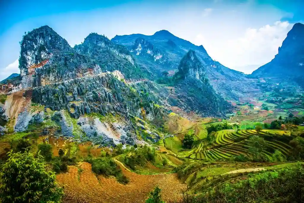
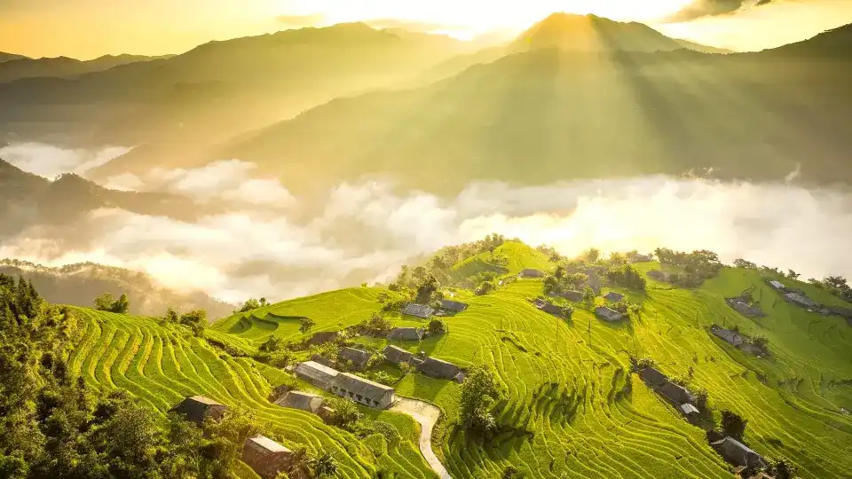
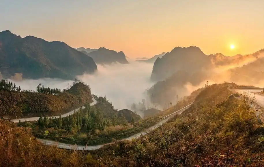
Ban Phung highest terraces.
A single-day walk through steep La Chi terraces above the Chay river — among the highest planting country in Hoang Su Phi.
- Terrain
- Hoang Su Phi · Terraces
- Season
- Sept – Oct · May – Jun
- Altitude
- 900 – 1,300 m

Ha Giang Trekking is a walking-first specialist for guided trekking and hiking in Northern Vietnam. Choose from short village and rice-terrace walks, multi-day journeys, or private treks designed around your pace and interests.
Four collections — Hoang Su Phi terraces, remote villages, high ridges and private routes. Ridge & Cloud covers Tay Con Linh summit approaches and Chieu Lau Thi high-mountain walking in western Ha Giang.

Terrace walks, Red Dao homestays and the Ban Luoc traverse — four programmes from one day to three, all starting from Hoang Su Phi town.

Du Gia, Lo Lo Chai and Quan Ba on foot — Tay, Hmong, Lo Lo and Dao Cham homestays linked by forest paths.

2-day summit-marker trek and forest shelter overnight — Nam Hong / Tung Quan Lin access, ~18 km walking, 2,428 m when the guide judges it safe. Our flagship Ridge & Cloud mountain product.

One-day 2,402 m ridge walk from Hoang Su Phi — cold, fog and summit light above the terraces. Pairs with Tay Con Linh for a full high-mountain week.

Not a fixed itinerary — a route designed from scratch around your goals, for photographers, film crews, researchers and private groups.
From a single terrace day to a three-day village crossing, each card opens a programme page with pricing, itinerary and enquiry details. Not sure which fits? Start with the Hoang Su Phi programmes.
Start with the planning guides, then move into the field stories that show how routes, seasons and village ground feel on foot.

Province-wide map of Ha Giang trekking — regions, seasons, product types and logistics. Start from the homepage, then use Plan Your Ha Giang Trek to choose a route; programme pages hold schedules and enquiry.

Chooser guide — pick collection, season and difficulty, then use trek + loop sequencing when combining walking with the northern plateau.

Trip-shape compare — who each line suits, duration trade-offs and fitness expectations for hub programmes vs extended journeys.

Why Hoang Su Phi's La Chi terrace circuit matters — the Chay valley loop, trail surfaces, and what happens from trailhead to pickup.

Why we sleep high on Chieu Lau Thi, how valley inversions may form, and how to read the deck when cloud fills the view.

Morning start in Lo Lo Chai on the sold route, mud-walled houses from inside, and how walking pace differs from a flagpole coach stop.
Dao, Hmong, Tay and La Chi guides who live on the routes they lead — not city-based chaperones.
Two to eight trekkers on most routes. Ridge programmes cap at six.
The trek is on foot. Transfers connect trailheads and walking areas — not hours of paved-road walking sold as trekking.
Enquire by WhatsApp. We usually reply within 24 hours with availability, a clear price and what to pack.

Our local trekking specialists are happy to help you choose the right route, season and difficulty.